Image
Tool
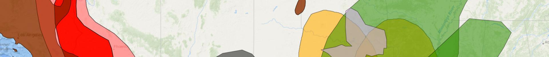
U.S. Hazards Outlook
Emergency managers and planners can get advance notice of potential hazards related to climate, weather, and hydrological events: these outlook maps highlight areas that may be impacted by hazards related to precipitation, temperature, wind, and drought during Week 2—the period spanning 8 to 14 days from now, according to scientists at NOAA's Climate Prediction Center.
Map files and archived records are available from October 2008 through the present. Those developing Climate Resilience Plans may find the archive useful for exploring how long potentially hazardous conditions were perceived before a hazard occurred.
See the Day 3-7 U.S. Hazards Outlook for shorter term outlooks, or visit weather.gov for current conditions.