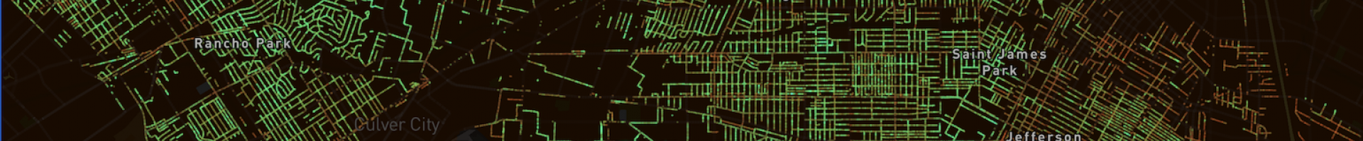
Screenshot Of Los Angeles area from Treepedia: https://senseable.mit.edu/treepedia
Treepedia
This interactive website uses Google Street View data to measure the urban "Green Canopy," or the aboveground portion of trees and vegetation in cities around the world. Treepedia allows city dwellers to view the location and size of trees within their communities.
The MIT Senseable City Lab developed an innovative metric utilizing Google Street View (GSV) panoramas—called the "Green View Index"—by which cities can evaluate and compare green canopy coverage. The Green View Index gives scientists and city dwellers a way to play a more active role in addressing concerns about the urban effects of climate change, and to campaign on behalf of the landscapes in which they dwell.