Image
Tool
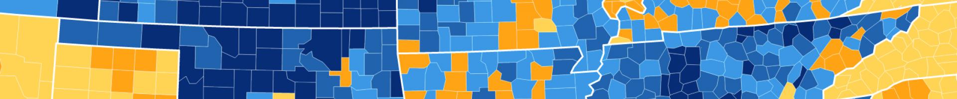
NACo County Explorer
This visualization tool provides key county-level information on a wide variety of topics: demographics, the economy, education, healthcare, and public safety.
Understanding county statistics—such as health risks, energy use, air pollution, and other factors—is important for planning climate resilience actions. This interactive map allows users to explore a variety of these indicators, featuring the latest data available for 3,069 counties across 19 categories, with over 100 datasets, more than 1000 indicators, and 16 types of county and state profiles. Data are updated monthly.