Image
Tool
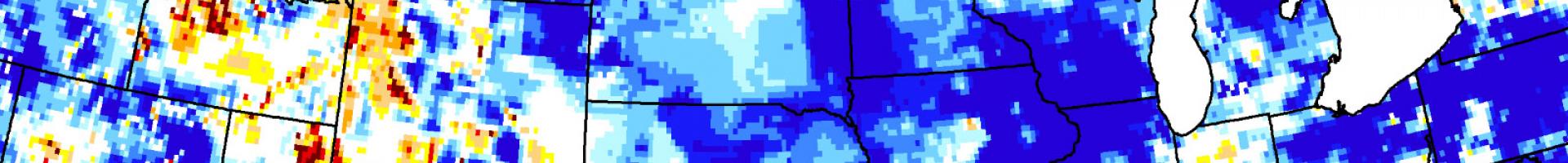
Groundwater and Soil Moisture Conditions - NASA GRACE Data Assimilation
View and download maps displaying drought indicators and forecasts, based on data from NASA's Gravity Recovery and Climate Experiment (GRACE) satellites. The satellite data are integrated with other observations using a sophisticated numerical model of land surface water and energy processes.
Global and continent-wide maps are downloadable in PDF or JPG format, and the underlying data can be downloaded as binary data files. The site also provides a map comparison slider, giving users a way to visualize how conditions changed over time.
Details
Hazards
Assets