Image

Tool
U.S. Drought Portal - Drought.gov
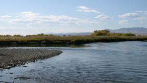
Developed by NOAA’s National Integrated Drought Information System (NIDIS), the U.S. Drought Portal, available at Drought.gov, offers data, maps, and tools designed to help decision makers assess the potential for drought. This information helps people better prepare for, mitigate, and respond to the effects of drought.
The U.S. Drought Portal also provides links to state, regional, tribal and watershed drought resources, upcoming drought webinars and workshops, as well as information on drought planning, education, and research. NIDIS manages Drought.gov in partnership with NOAA’s National Centers for Environmental Information.
For questions, send an email to drought.portal@noaa.gov.
Details
Hazards
Assets
Sources
U.S. Centers for Disease Control and Prevention
Farm Credit Administration
FEMA—Federal Emergency Management Agency
Federal Energy Regulatory Commission
Internal Revenue Service
International Trade Administration
NASA—National Aeronautics and Space Administration
NOAA—National Oceanic and Atmospheric Administration
NSF—National Science Foundation
U.S. Small Business Administration
USACE—U.S. Army Corps of Engineers
USDA—U.S. Department of Agriculture
DOE—U.S. Department of Energy
DHHS—U.S. Department of Health and Human Services
DOI—U.S. Department of the Interior
DOT—U.S. Department of Transportation
EPA—U.S. Environmental Protection Agency
U.S. International Trade Commission