Image
Tool
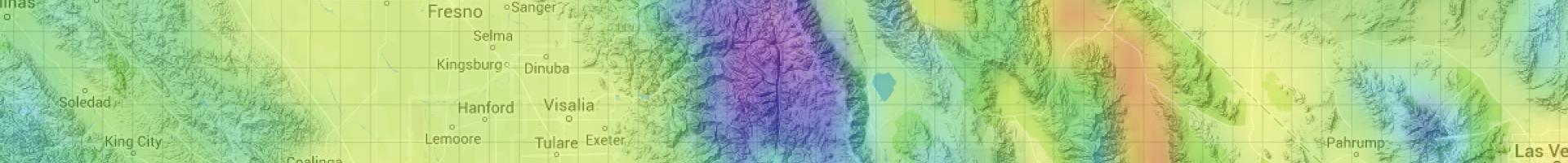
Cal-Adapt
California residents and city and county planners can use this site to identify potential climate change risks in areas throughout the state.
This climate adaptation planning tool provides access to up-to-date information and data produced by the State of California's scientific and research community. It include interactive visualization tools, access to data, a community forum, local climate stories, climate education, and links to additional climate resources. Cal-Adapt synthesizes volumes of existing downscaled climate change scenarios and climate impact research and presents it in an easily available, graphical layout intended to benefit local planning efforts.
Details
Hazards
Assets