Tool
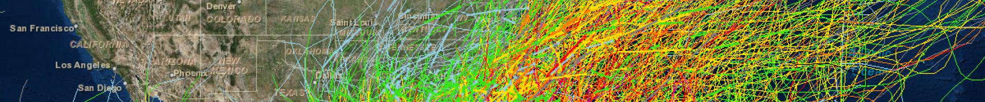
Historical Hurricane Tracks
Description
This interactive mapping application easily searches and displays global tropical cyclone data. Users are able to query storms by the storm name, ZIP Code, city, state, geographic region, or latitude/longitude coordinates. Custom queries can track storms of interest and allow for data extraction and download.
Features
- Searches and displays tropical cyclone track data by ZIP Code, latitude and longitude coordinates, city, state, or geographic region and then displays the selected tracks on a map
- Displays coastal population data and hurricane strike data for coastal counties from Maine to Texas
- Provides access to storm reports written by hurricane specialists at the National Hurricane Center — reports are available for the Atlantic and East-Central Pacific Basins
- Builds custom Uniform Resource Locator (URL) strings that users can follow from personal websites to the online mapping application with specific storm tracks