Tool
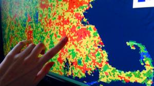
Northeast Conservation Planning Atlas
Description
This free science-based mapping and analysis platform gives users a way to view, retrieve, and perform analyses on spatial information with specific conservation goals in mind. It is built on Data Basin, a science-based platform that supports learning, research, and sustainable environmental stewardship.
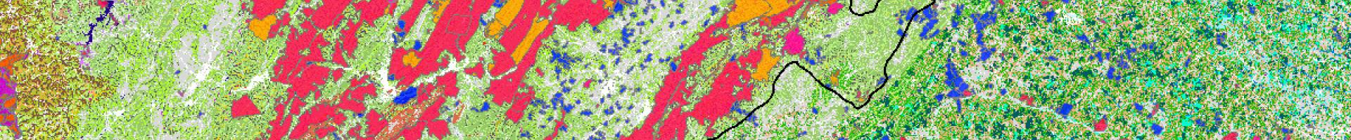
The North Atlantic Conservation Atlas provides access to high-quality geospatial datasets, maps and information to facilitate partner-driven conservation from Maritime Canada to the Appalachians.