Tool
Sea Level Rise Viewer
Description
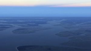
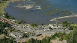
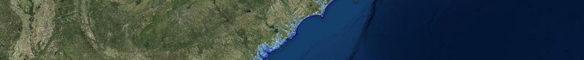
Explore how the shoreline is likely to change with increasing amounts of sea level rise. This popular tool gives you a way to visualize the potential impacts of coastal flooding so you can prioritize actions for different scenarios.
Use the tool to visualize community-level impacts from coastal flooding or sea level rise (up to 10 feet above average high tides). View photo simulations of how future flooding might impact local landmarks and access data related to water depth, connectivity, flood frequency, socio-economic vulnerability, wetland loss and migration, and mapping confidence.