Communities, businesses, and individuals are taking action to document their vulnerabilities and build resilience to climate-related impacts. Click dots on the map to preview case studies, or browse stories below the map. Use the drop-down menus above to find stories of interest. To expand your results, click the Clear Filters link.

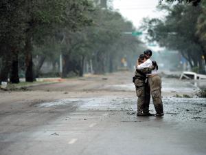
Photo of pararescueman Staff Sgt. Lopaka Mounts receiving a hug from a resident after Hurricane Ike, Sept. 13, 2008.
Exterior rendering of the proposed Southeast Louisiana Veterans Health Care Center
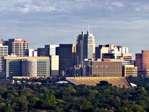
Photo showing skyline of Texas Medical Center
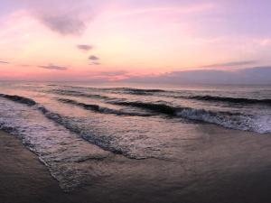
Sunrise on the beach at Corolla, on the Outer Banks of North Carolina.
Destruction to the Norwalk Calf Pasture Pier caused by Hurricane Sandy
Old Harbor Life-Saving Station, Cape Cod National Seashore
Photo of flooding caused by Hurricane Sandy in Brooklyn, New York
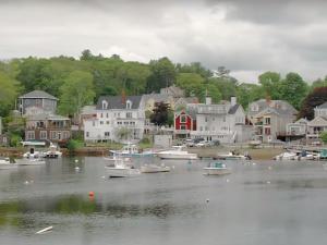
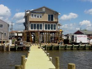
Recreational boats on quiet water with seaside homes in background.
Photo of storm-damaged railroad tracks
Photo of "Old Red" building on UTMB campus, Galveston Island, Texas
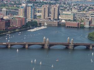
Boston cityscape
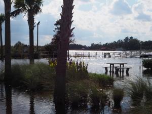
High Tide Flooding in Georgetown, SC
Dunes at Island Beach State Park
Aerial view of flooded buildings
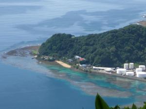
Pago Pago Harbor, American Samoa with fuel tanks in foreground.
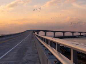
Roadway with bridge rising up over ocean water
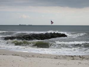
A rock groyne at Atlantic Beach, New York.
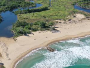
Puerto Rican beach
Aerial view of the City of Virginia Beach oceanfront
Panini Bay Restaurant in Tuckerton, New Jersey
Ned Point Lighthouse, Mattapoisett
View of city buildings with a wide river running through the center.
Photo of Long Island City, Queens, New York City