Access a range of climate-related reports issued by government agencies and scientific organizations. Browse the reports listed below, or filter by scope, content, or focus in the boxes above. To expand your results, click the Clear Filters link.

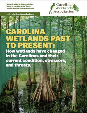
background of a green wetlands with text overlaid
Published
December 2022

The purpose of this report published by the Carolina Wetlands Association is to present an overview of the state of an important but shrinking resource – wetlands in North and South Carolina. The report will establish a baseline – as a basis for seeing future trends in wetlands in the Carolinas – by addressing the following questions.

  • What are the functions and benefits of wetlands in the Carolinas?
  • How many wetlands do we have, what are their types, and where are they?
  • How have past and current land-use practices affected our wetlands?
  • What other threats/stressors are there and how can we manage them?
  • What is the current condition of our wetlands?
  • How do we protect and manage this valuable resource through education, conservation, restoration, and other activities?

This report is current as of 2020 and will be updated as more is learned and potentially as wetlands are conserved and protected across the Carolinas in the coming years.

Drought and Infrastructure report cover
Published
June 2022

This Drought Guide, developed through the interagency National Drought Resilience Partnership, can be used to anticipate and prepare for the consequences of drought on infrastructure services. This resource directs users to the National Integrated Drought Information System (drought.gov) and other agencies’ information and decision tools.

Report cover
Published
April 2022

Heat is the number one weather-related killer in the United States. As average global temperatures continue to rise, the threats of both extreme heat events and chronic heat are projected to increase.

Heat disproportionately affects marginalized residents and those who face systematic inequities such as workplace safety, housing quality, energy affordability, transportation reliability, and healthcare access. But planning can shape heat risk. Planners will be key practitioners in helping their communities achieve greater heat resiliency by proactively managing and mitigating heat across the many systems and sectors it affects.

PAS Report 600 provides holistic guidance to help practitioners increase urban heat resilience equitably in the communities they serve. It provides an in-depth overview of the contributors to urban heat and equity implications, and it lays out an urban heat resilience framework and collection of strategies to help planners mitigate and manage heat across a variety of plans, policies, and actions.

FY22 edition of the US Global Change Research Program's annual "Our Changing Planet" report
Published
February 2022

This is the FY22 edition of the U.S. Gllobal Change Research Program's annual report to Congress mandated by the the Global Change Research Act. The report provides an overview of the Program’s progress in delivering on its strategic goals as well as a summary of agency expenditures under USGCRP’s budget crosscut.

Published
February 2022

The Working Group II contribution to the IPCC Sixth Assessment Report assesses the impacts of climate change, looking at ecosystems, biodiversity, and human communities at global and regional levels. It also reviews vulnerabilities and the capacities and limits of the natural world and human societies to adapt to climate change.

Report Cover of the December 2021 EPA Seasonality and Climate Change Report
Published
December 2021

This Environmental Protection Agency report discusses how climate change affects the timing and nature of seasonal events, summarizes changes that have been observed in the United States, and describes the implications of these changes. The main report discusses the science behind seasonal events and the ways in which climate change can influence seasonal trends. It uses many years of observations from EPA’s climate change indicators to explore the interconnectedness of seasonal changes. The technical appendix describes EPA's evaluation approach and criteria for selecting indicators, and it also provides documentation of sources and methods for the indicators featured in this report. 

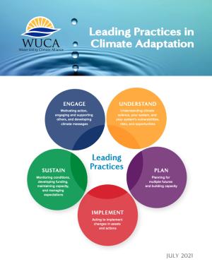
Screenshot of the Leading Practices in Climate Adaptation report.
Published
July 2021

This collection of leading practices in climate adaptation covers a suite of climate adaptation actions and is intended to broadly promote collaborative learning. Each practice in the collection is explained and supported by concrete examples. These practices are drawn from WUCA work products and WUCA members' experiences, and, when possible, connected to relevant resources and related efforts. Most of these practices are appropriate for water utilities of any size, as well as other sectors interested in climate adaptation.

The current practices and where they are placed within the five essential climate adaptation action areas:

  • Engage
  • Understand
  • Plan
  • Implement
  • Sustain

It is important to note that these action areas and leading practices are not prioritized. Instead, the most useful practices depend on the individual organization's needs and priorities.

cover of report
Published
June 2021

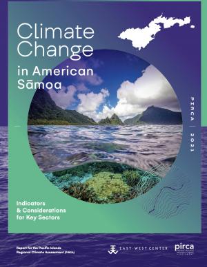
Climate change is expected to disrupt many aspects of life in American Sāmoa. Those who are already vulnerable—including children, the elderly, low-income families, and individuals with disabilities—are at greater risk from extreme weather and climate events. This report provides guidance for decision makers seeking to better understand the implications of climate variability and change for American Sāmoa and its communities and identifies the additional information and research needed to support responses that enhance resilience and help American Sāmoa to withstand the changes to come. This is one of a series of PIRCA reports aimed at assessing the state of knowledge about climate change indicators, impacts, and adaptive capacity of the U.S.-Affiliated Pacific Islands and the Hawaiian archipelago. Authors from the University of Hawai‘i and the East-West Center—along with 25 technical contributors from local governments, NGOs, researchers, and community groups—collaboratively developed the American Sāmoa report.

Published
February 2021

This report's subtitle is Managing the Uncertainty of Future Sea Level Change and Extreme Water Levels for Department of Defence Coastal Sites Worldwide.

From the Executive Summary: Global change, including climate change, poses unique challenges to the Department of Defense (DoD). In particular, coastal military sites, and their associated natural and built infrastructure, operations, and readiness capabilities, are vulnerable to the impacts of rising global sea level and local extreme water level (EWL) events. This report and its accompanying scenario database provide regionalized sea level and EWL scenarios for three future time horizons (2035, 2065, and 2100) for 1,774 DoD sites worldwide. The global nature of DoD’s presence required a broad and comprehensive approach that to this point has been lacking in similar efforts.

Report Cover
Published
January 2021

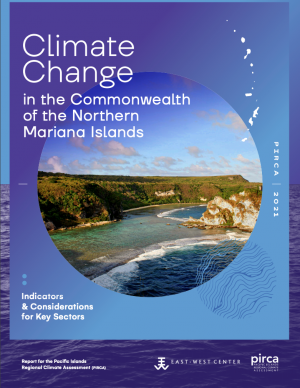
Hotter weather, stronger typhoons, coral reef death, and physical and mental health risks are among the major challenges detailed in this report on climate change in the Commonwealth of the Northern Mariana Islands (CNMI). Threatened resources include high-value coastal infrastructure and the millions of dollars that ocean ecosystems add to the CNMI economy annually. This report provides guidance for decision makers seeking to better understand the implications of climate variability and change for CNMI and its communities and identifies the additional information and research needed to support responses that enhance resilience and help CNMI to withstand the changes to come.

Screen capture of Report
Published
December 2020

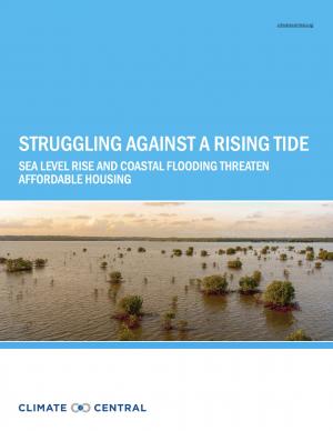
This report highlights the equity implications of sea level rise in the first nationwide assessment of risk to the country’s affordable housing supply. As climate change causes sea levels to rise, the number of affordable housing units at risk of coastal flooding is projected to more than triple to nearly 25,000 nationwide over the next 30 years.
Report Cover
Published
September 2020

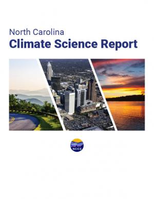
This report is a scientific assessment of historical climate trends and potential future climate change in North Carolina under increased greenhouse gas concentrations. The report includes an overview of the physical science of climate change, detailed information on observed and projected changes in temperature and precipitation averages and extremes, hurricanes and other storms, sea level, and other relevant climate metrics. Findings are presented for both the state as a whole and for each of three regions in the state: the Coastal Plain, the Piedmont, and the Western Mountains. The report also includes chapters on sea level rise, trends involving interactions of multiple aspects of the climate system (including inland flooding, wildfire, forest ecosystem changes, urban heat island effects, and air pollution), and findings relevant to engineering design standards.

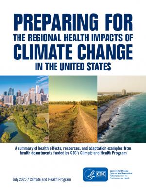
Report Cover
Published
July 2020

Each region of the United States experiences climate change and its impacts on health differently, due to the regions’ location-specific climate exposures and unique societal and demographic characteristics. This document describes the various health impacts climate change will have on different regions of the United States as outlined in the Fourth National Climate Assessment (NCA4), actions taken by the CDC Climate and Health Program’s health department partners to prepare for and respond to climate change in their communities, and relevant tools and resources.

Report cover
Published
July 2020

This guide is intended to help communities in Michigan and across the Great Lakes Region develop a climate and health adaptation plan or to integrate climate and health concepts into existing initiatives. A climate and health adaptation plan is defined here as a strategy document that fosters collaboration across disciplines and interest groups to instigate a series of activities toward the common objectives of understanding and then preventing or reducing the anticipated health impacts of climate change in the area.

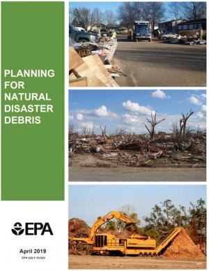
Report cover
Published
April 2019

The guidance provided by this report is designed to help all communities create disaster debris management plans. It assists communities in planning for natural disaster debris before disasters—such as hurricanes, earthquakes, tornadoes, volcanoes, floods, wildfires, and winter storms—occur by providing useful, relevant information intended to increase community preparedness and resiliency. The report includes recommended components of a debris management plan, suggested management options for various natural disaster debris streams, a collection of case studies that highlights how several communities prepared for and managed debris generated by recent natural disasters, resources to consult in planning for natural disasters, and the EPA’s recommended pre-incident planning process to help prepare communities for effective disaster debris management.

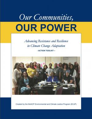
Report Cover
Published
April 2019

The Beloved Community is a vision for our future where all people share equally in the wealth and bounty of the earth, where we protect its abundance, diversity, and beauty for future generations. In this vision of liberation, racism, exploitation, and domination are replaced by democracy, cooperation, interdependence, and love. To get there, we pursue transformative, systems-change solutions. What do we mean by this? The root causes of the problems our communities face—like climate change, racism, and economic inequality—are all deeply connected. Since the problems are connected, so are the solutions. The purpose of this toolkit is to put us on the path toward achieving this vision. Through the context of building equity and resilience into climate adaptation planning, we introduce strategies to transform our communities and, by extension, society. Our ultimate goal is to create lasting and systemic change. At the same time, we recognize the urgency of the issues our communities face and the need to take action now. That is why we pursue change at every scale—from policy changes to community-based projects—to institute the transformative change we need to uphold our vision of the beloved community.

Report cover
Published
April 2019

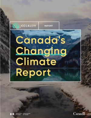
This report is the first major product of the current Canadian national assessment, which launched in 2017 and intends to publish a series of authoritative reports between 2018 and 2021. This assessment focuses on answering the questions: how has Canada’s climate changed to date, why, and what changes are projected for the future? This initial report provides a climate science foundation for the other national assessment products. Its objectives are to assess current knowledge about how Canada’s climate is changing and why, and what changes are projected for the future, to help inform mitigation and adaptation decision making and to help raise public awareness and understanding of Canada’s changing climate. The CCCR is written for a broad range of professionals who are familiar with the topic of climate change but who may not have expertise in the physical sciences. 

Report Cover
Published
March 2019

This plan represents the efforts of the State of Minnesota in fulfilling the responsibility for hazard mitigation planning. The purpose of this plan is to identify the state’s major hazards, assess the vulnerability to those hazards, and take steps to reduce vulnerability using the technical and program resources of Minnesota agencies. The process has included consideration of current and expected future impacts from Minnesota’s already changing climate, as relevant to hazard mitigation planning. The plan identifies goals and recommends actions and initiatives for the state government to adapt to, reduce, and/or prevent injury and damage from hazardous events.

Report cover
Published
July 2018

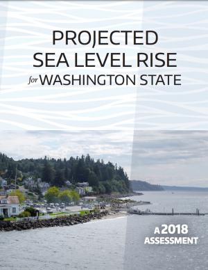
This report provides an updated set of sea level rise projections that incorporate the latest science and community-scale projections. The new projections can be applied to risk management and planning processes, and are recommend for communities performing coastal impacts assessments within the state of Washington.

An interactive map based on the report shows relative sea level rise (RSLR) projections for 171 sites along Washington’s coast. The projections for each site are provided as a downloadable excel spreadsheet which contains three worksheets: (1) an overview, (2) RSLR projections for a low greenhouse gas scenario (RCP 4.5), and (3) RSLR projections for a high greenhouse gas scenario (RCP 8.5).

Report Cover
Published
June 2018

This analysis examines what's at risk for U.S. coastal real estate from sea level rise. Millions of Americans living in coastal communities will face more frequent and disruptive high-tide flooding; as this flooding increases, it will reach a threshold where normal routines become impossible and coastal residents, communities, and businesses are forced to make difficult, often costly choices. For this analysis, that threshold is defined as flooding that occurs 26 times per year (on average, once every other week) or more, a level of disruption referred to as chronic inundation. The results identify the number of residential and commercial properties at risk of chronic inundation—and the total current property value, estimated population, and property tax base affected—for the entire coastline of the lower 48 states.

Report Cover
Published
March 2018

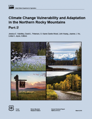
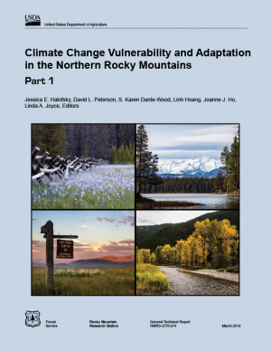
The Northern Rockies Adaptation Partnership identified climate change issues relevant to resource management in the Northern Rockies region and developed solutions intended to minimize negative effects of climate change and facilitate transition of diverse ecosystems to a warmer climate. Their vulnerability assessment emphasizes water, fisheries, wildlife, forest and rangeland vegetation and disturbance, recreation, cultural heritage, and ecosystem services, which are regarded as key resource areas for local ecosystems and communities. Resource managers used the assessment to develop a detailed list of ways to address climate change vulnerabilities through management actions. The large number of adaptation strategies and tactics, many of which are a component of current management practice, provide a pathway for slowing the rate of deleterious change in resource conditions.

Report Cover
Published
October 2017

This assessment of seven priority hazards was undertaken by the Florida BRACE (Building Resilience Against Climate Effects) program. Existing climate scenarios project heat, drought, and sea level rise vulnerability to the year 2100 with a high, medium, and low range of outcomes for these three hazards. Hurricane winds, storm surge, flooding, and wildland fire are more difficult to project into the future due to a significantly smaller geographic impact; for these four hazards, probability indexes were used in conjunction with historical patterns to explain possible changes to Florida’s long-term weather. Social and medical vulnerability indices were also employed to quantify social and medical vulnerability to these priority hazards.

Report Cover
Published
March 2017

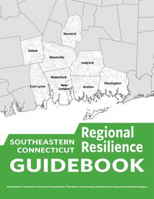
This guidebook results from the culmination of a year of dialogue among diverse stakeholders in southeastern Connecticut who defined challenges and solutions from extreme weather, climate change, and shifting social and economic conditions. Participants included representatives from nine municipalities, public and private utilities, public health departments, chambers of commerce, major employers, conservation organizations, academic institutions, community non-profits, and state agencies, among others. The dialogue captured six themed planning sectors (water, food, ecosystem services, transportation, energy, and regional economy) in a process that used surface and integrated solutions to address singular and multiple challenges across planning sectors. The guidebook provides a quick reference resource to help shape and inform actions that will advance a regional resilience framework for southeastern Connecticut; an accompanying Summary of Findings captures the project's final outcomes and conclusions, as well as providing a comprehensive account of the objectives, process, and details. 

screenshot of report cover
Published
September 2016

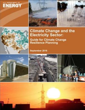
This guide provides basic assistance to electric utilities and other stakeholders in assessing vulnerabilities to climate change and extreme weather and in identifying an appropriate portfolio of resilience solutions. The guide is also part of a broader DOE effort to inform preparedness, resilience planning, and response initiatives.

Report cover
Published
September 2016

This Web toolkit raises airport operator awareness about vulnerabilities caused by significant weather events. The toolkit helps airports develop more robust contingency and recovery plans, in addition to their airport emergency plans. The toolkit focuses on events that are “rare but plausible”; that is, events that may have happened in the distant past, or in adjacent geographic areas, but are not common event types at the airport itself, and therefore may not be in the forefront of the airport managers’ minds. 

Report Cover
Published
May 2016

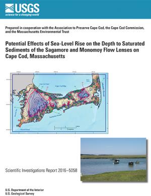
In 2014, the U.S. Geological Survey, in cooperation with the Association to Preserve Cape Cod, the Cape Cod Commission, and the Massachusetts Environmental Trust, began an evaluation of the potential effects of sea-level rise on water table altitudes and depths to water on central and western Cape Cod, Massachusetts. Researchers found that the potential does exist for groundwater inundation in some areas, but the effects of sea-level rise on depths to water and infrastructure likely will not be substantial on a regional level.

Report cover
Published
April 2016

This assessment strengthens and expands our understanding of climate-related health impacts by providing a more definitive description of climate-related health burdens in the United States. It builds on the 2014 National Climate Assessment and reviews and synthesizes key contributions to the published literature. The findings represent an improvement in scientific confidence in the link between climate change and a broad range of threats to public health, while recognizing populations of concern and identifying emerging issues. The overall findings underscore the significance of the growing risk climate change poses to human health in the United States.

Fact Sheet cover
Published
March 2016

This fact sheet presents recent climate change investigations of the U.S. Geological Survey in New England using selected recent publications that highlight the broad spectrum of expertise and commitment to understanding the relations of climate change and water resources in the region.

Report Cover
Published
March 2016

The State of Maine is experiencing shifts in atmospheric and oceanographic conditions that put it at the precipice of abrupt climate change. This report—part of the Department of Homeland Security's Regional Resiliency Assessment Program (RRAP)—focuses on the local and regional consequences of climate disruptions and their impacts on critical infrastructure in the Casco Bay region, the most developed and populous region in Maine. The report identifies vulnerabilities that may potentially affect the region’s ability to maintain its critical infrastructure systems and recover from the impacts of climate change.

Report Cover
Published
December 2015

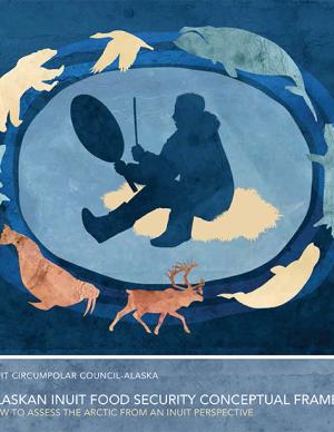
This technical report focuses on sharing the collective efforts of the Inuit Circumpolar Council-Alaska, 146 Inuit contributing authors, a 12-member Food Security Advisory Committee, and many other Inuit who provided input and guidance to the process. The report aspires to strengthen the evidence base of (1) what Inuit food security is, (2) what the drivers of food (in)security are, and (3) identify information needed to conduct an assessment through the development of a conceptual framework. The assessment tool is designed to build the baseline of information needed to understand the Arctic environment and allow a pathway for assessments (food security, ecosystem, political, cultural, etc.) to link eco- and socio- components of sciences and indigenous knowledge.

Report Cover
Published
August 2015

This handbook (USGS Professional Paper 1815) was designed as a guide to the science and simulation models for understanding the dynamics and impacts of sea level rise on coastal ecosystems. Coastal land managers, engineers, and scientists can benefit from this synthesis of tools and models that have been developed for projecting causes and consequences of sea level change on the landscape and seascape. 

Report Cover
Published
June 2015

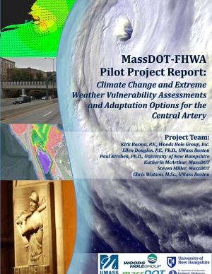
The two main objectives of this pilot project were to (1) assess the vulnerability of Boston's Central Artery/Tunnel System to sea level rise and extreme storm events, and (2) investigate and present adaptation options to reduce identified vulnerabilities.

Report Cover
Published
May 2015

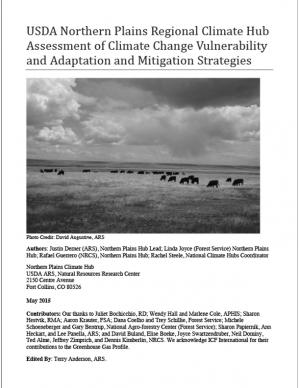
The Northern Plains has experienced increased weather variability and climatic changes throughout the 20th and early 21st centuries. This assessment presents observed changes, such as increased length of frost-free seasons, which pose risks and opportunities to agricultural production in the region. The assessment also highlights adaptation practices working land managers might consider to prepare for and respond to changes in climate by adjusting management in ways that harness benefits or reduce anticipated effect.

Report cover
Published
April 2015

The State of New Hampshire has initiated a coordinated effort to proactively prepare for the effects of climate change on the natural and human resources of New Hampshire. An important aspect of this effort is to develop a vulnerability assessment of hydrologic response to climate change. The U.S. Geological Survey, in cooperation with the New Hampshire Department of Health and Human Services, is developing tools to predict how projected changes in temperature and precipitation will affect change in the hydrology of watersheds in the State. This study is a test case to assemble the information and create the tools to assess the hydrologic vulnerabilities in four specific watersheds.

Screenshot of Guide Site
Published
February 2015

The Resilient Strategies Guide for Water Utilities provides options for drinking water, wastewater, and stormwater utilities to assist them in developing plans that contain strategies that address their specific needs and priorities.

The Guide outlines the resilience planning process and helps you to identify potential strategies and promote a better understanding of resilience strategies. At the end of the Guide, you can download a report containing all of your selections and submitted information.

Pages