This assessment of seven priority hazards was undertaken by the Florida BRACE (Building Resilience Against Climate Effects) program. Existing climate scenarios project heat, drought, and sea level rise vulnerability to the year 2100 with a high, medium, and low range of outcomes for these three hazards. Hurricane winds, storm surge, flooding, and wildland fire are more difficult to project into the future due to a significantly smaller geographic impact; for these four hazards, probability indexes were used in conjunction with historical patterns to explain possible changes to Florida’s long-term weather. Social and medical vulnerability indices were also employed to quantify social and medical vulnerability to these priority hazards.
Access a range of climate-related reports issued by government agencies and scientific organizations. Browse the reports listed below, or filter by scope, content, or focus in the boxes above. To expand your results, click the Clear Filters link.
Climate change impacts ecosystems in many ways, from effects on species to phenology to wildfire dynamics. Assessing the potential vulnerability of ecosystems to future changes in climate is an important first step in prioritizing and planning for conservation. Although assessments of climate change vulnerability commonly are done for species, fewer have been done for ecosystems. To aid regional conservation planning efforts, this report assesses climate change vulnerability for ecosystems in the Southeastern United States and Caribbean.
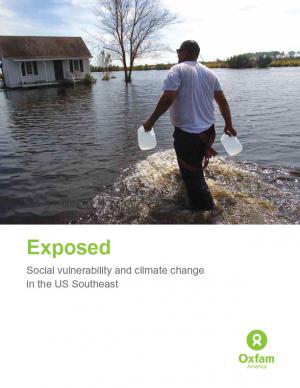
Historically, studies about climate hazards and social vulnerability have been conducted in separate silos. The Social Vulnerability Index (SoVI) is the first study of its kind to examine both the potential impact of natural hazards and which populations are most likely to be negatively affected. This research, commissioned by Oxfam America, includes a series of layered maps that depict social and climate change-related hazard vulnerability. The maps assist in identifying hotspots in the U.S. Southeast, which are at significant risk in the face of four particular climate change-related hazards: drought, flooding, hurricane force winds, and sea level rise. The specific region of focus is the 13-state region of the US Southeast: Alabama, Arkansas, Florida, Georgia, Kentucky, Louisiana, Maryland, Mississippi, North Carolina, South Carolina, Tennessee, Texas, and Virginia. Roughly 80 percent of all U.S. counties that experience persistent poverty (defined as a county in which at least 20 percent of the population experiences poverty for three decades or more) lie in this region.


