Flooding is the natural hazard with the greatest economic and social impact in the United States, and these impacts are becoming more severe over time. This report contributes to existing knowledge on urban flooding by examining real-world examples in specific metropolitan areas: Baltimore, Houston, Chicago, and Phoenix. The report identifies commonalities and variances among the case study metropolitan areas in terms of causes, adverse impacts, unexpected problems in recovery, or effective mitigation strategies, as well as key themes of urban flooding. It also relates, as appropriate, causes and actions of urban flooding to existing federal resources or policies.
Access a range of climate-related reports issued by government agencies and scientific organizations. Browse the reports listed below, or filter by scope, content, or focus in the boxes above. To expand your results, click the Clear Filters link.
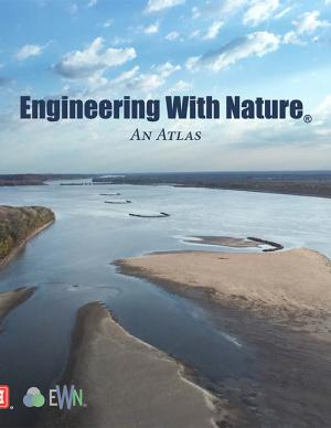
The EWN Atlas is a collection of 56 projects illustrating a diverse portfolio of contexts, motivations, and successful outcomes, presented and considered from an Engineering With Nature® perspective to reveal the usefulness of nature-based approaches and the range of benefits that can be achieved. Engineering With Nature is an initiative of the U.S. Army Corps of Engineers enabling more sustainable delivery of economic, social, and environmental benefits associated with water resources infrastructure. EWN intentionally aligns natural and engineering processes to efficiently and sustainably deliver economic, environmental, and social benefits through collaborative processes.
This report—the first phase of the Department of the Interior (DOI) assessment effort for Hurricane Sandy projects—was developed for DOI by a metrics expert group of physical and ecological scientists and socioeconomic experts who recommended performance metrics for measuring changes in resilience resulting from the DOI-sponsored projects. It identifies natural and artificial coastal features most affected by Hurricane Sandy along the Northeast coast—such as marshes, beaches, and estuaries—and recommended metrics that would indicate resilience change in those features.
In 2013, the Baltimore City Department of Planning and Office of Sustainability created the Disaster Preparedness and Planning Project (DP3) as an effort to address existing hazards while simultaneously preparing for predicted hazards due to climate change. This project develops an integrated All Hazards Mitigation Plan, floodplain mapping, and Climate Adaptation Plan program that links research, outreach, and actions to assure implementation of a comprehensive and new risk-preparedness system for addressing existing and future impacts. Integrating hazard mitigation planning, which focuses on past events, with climate adaptation planning, which focuses on what will likely happen in the future, offers a positive, win-win solution for Baltimore City.
This Climate Action Plan represents Baltimore's commitment to being a leader in sustainability and improving their city environment. The plan contains feasible measures to help the city reduce greenhouse gas emissions and curb the effects of climate change. The plan calls for a goal of a 15 percent reduction in greenhouse gas emissions by 2020. In order to reach this goal, the plan promotes renewable energy generation and energy retrofits, waste diversion, and water efficiency. CAP measures will help citizens save energy and money, as well as encourage the use of sustainable modes of transit, high-density urban land use, and increased tree plantings. From the mayor's message: "While we as a City alone cannot change the course of world climate patterns, we must do our part. The City of Baltimore’s Climate Action plan is our promise to take action, reduce our greenhouse gas emissions, increase our quality of life, and grow Baltimore. "
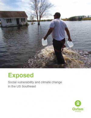
Historically, studies about climate hazards and social vulnerability have been conducted in separate silos. The Social Vulnerability Index (SoVI) is the first study of its kind to examine both the potential impact of natural hazards and which populations are most likely to be negatively affected. This research, commissioned by Oxfam America, includes a series of layered maps that depict social and climate change-related hazard vulnerability. The maps assist in identifying hotspots in the U.S. Southeast, which are at significant risk in the face of four particular climate change-related hazards: drought, flooding, hurricane force winds, and sea level rise. The specific region of focus is the 13-state region of the US Southeast: Alabama, Arkansas, Florida, Georgia, Kentucky, Louisiana, Maryland, Mississippi, North Carolina, South Carolina, Tennessee, Texas, and Virginia. Roughly 80 percent of all U.S. counties that experience persistent poverty (defined as a county in which at least 20 percent of the population experiences poverty for three decades or more) lie in this region.


