The State Climate Summaries provided here were initially produced to meet the demand for state-level climate information in the wake of the Third U.S. National Climate Assessment. This 2022 version provides new information and extends the historical climate record to 2020 for each state. The summaries cover assessment topics directly related to NOAA’s mission, specifically historical climate variations and trends, future climate model projections of climate conditions during the 21st century, and past and future conditions of sea level and coastal flooding. Additional background information and links are given below.
Access a range of climate-related reports issued by government agencies and scientific organizations. Browse the reports listed below, or filter by scope, content, or focus in the boxes above. To expand your results, click the Clear Filters link.
During late 2016, the National Integrated Drought Information System, the National Drought Mitigation Center, the Midwestern Regional Climate Center, and other regional partners convened four stakeholder meetings in the Midwest Drought Early Warning System. Each of these meetings included a historical drought overview and climate outlook for the region, discussion of critical drought-related needs and challenges, exploration of available tools, local drought planning and management approaches, and strategy development to improve drought early warning and resiliency in the Midwest.
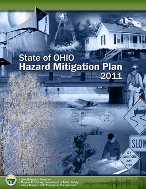
This plan identifies Ohio's mitigation strategy, which helps guide local mitigation planning and project efforts. The State of Ohio Standard Hazard Mitigation Plan was first approved by FEMA in 2005. This 2011 plan revision details Ohio’s highest priority hazards: river/stream flooding, tornadoes, winter storms, landslides, dam/levee failure, wildfire, coastal flooding, earthquakes, coastal erosion, drought, severe summer storms, invasive species, and land subsidence hazards. The plan also integrates and introduces the State Hazard Analysis, Resource and Planning Portal (SHARPP), a web-based system that captures and disseminates state and local hazard mitigation planning and project information.


