Start with hazards that have occurred in your region in the past
Draw on local knowledge, newspaper archives, and online tools to identify extreme weather events that occurred within your region in the past. Capture a few bullet points about each event and its impacts.
Example: In the fall of 1994, after five days of heavy rain, debris clogged the stormwater system and 16 homes at the lower end of Elm street flooded.
Explore past storms in the Storm Reports Database
Which hazards might occur in the next few years?
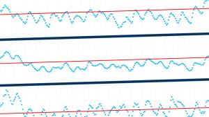
Check if trends in temperature and precipitation suggest an increasing chance of hazards such as heat waves, drought, or flooding occurring in your region. Capture brief descriptions of hazards or events your community may face.
Check maps and graphs of recent temperature and precipitation trends for your county
View climate trends in State Climate Summaries
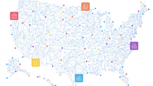
View real-time climate hazards and the number of people currently exposed to them
Which hazards might you face over the next several decades?
As temperatures rise and precipitation patterns change over this century, which new hazards might occur in your region? List hazards you might expect to occur under conditions projected for the future.
Check current and future exposure in the Climate Mapping for Resilience and Adaptation portal
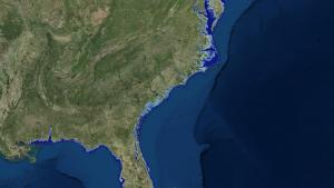
Check if rising sea levels could impact your region
As global sea level rises, will it affect land in your region? If so, capture a brief description of the frequency and depth of coastal flooding projected for the future.
Check future shoreline locations in the Sea Level Rise Viewer