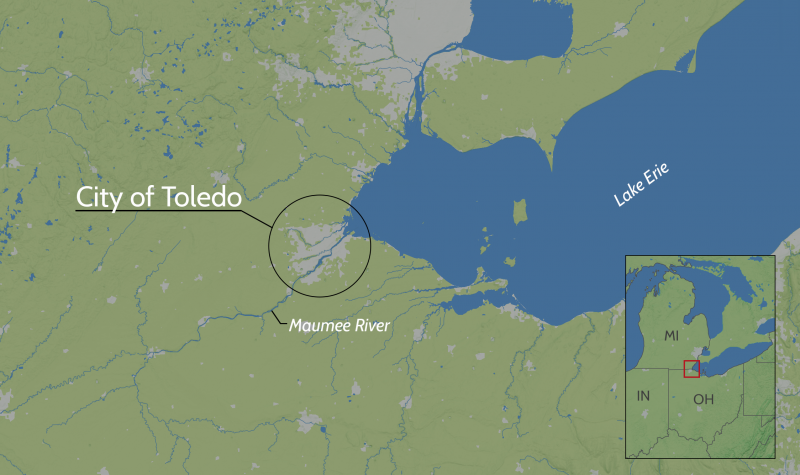
Toledo was built on a low-lying area formerly known as the Great Black Swamp, spanning both sides of the Maumee River in the southwestern crook of Lake Erie. On the map, grey shading indicates urbanized areas.
Map credit: Ian Johnson, UNC Asheville's National Environmental Model and Analysis Center. Public domain.
Page/s that contain this image:
Last modified:
22 January 2020 - 2:23pm

