Access a range of climate-related reports issued by government agencies and scientific organizations. Browse the reports listed below, or filter by scope, content, or focus in the boxes above. To expand your results, click the Clear Filters link.
For the six states of the U.S. Southwest (Arizona, California, Colorado, Nevada, New Mexico, and Utah)i , January 2020 through August 2021 have been exceptional in the instrumental climate record since 1895, with the lowest total precipitation and the third-highest daily average temperatures recorded, which together imposed an unyielding, unprecedented, and costly drought. This exceptional drought punctuates a two-decade period of persistently warm and dry conditions throughout the region.
Safe and secure water supplies are a continuing fundamental pursuit for life in the West. This 2021 Report provides an assessment of climate change impacts to water uses in the West and adds a new set of West-wide information based in paleohydrology. This report describes our collaborative actions taken to increase the reliability of water and power deliveries since 2016, including: science and research, planning, infrastructure sustainability, efficient hydropower production, and on-the-ground actions to meet needs for irrigation, municipalities, power, Tribes, and the environment.
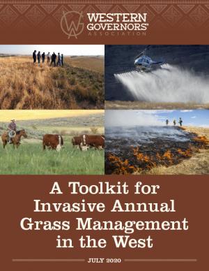
The Western Governors’ Association and the U.S. Department of Agriculture are pursuing an effort to meaningfully address the large-scale infestation of invasive annual grasses on western forests and rangelands. One product of this effort is this toolkit for land managers working to combat the spread of invasive annual grasses in the West. The toolkit is comprised of a roadmap for invasive grass management, with new best management practices; case studies highlighting the application of these practices in Idaho and Wyoming; and a new geospatial data layer (which uses analytical tools to compile existing federal data) to help state and local managers assess invasive annual grasses within their jurisdictions while also offering opportunities to identify new cross-boundary collaborative projects. The roadmap and data layer are designed for easy integration into local management plans and can be tailored by state and local managers to reflect local data, knowledge, capacities, and priorities.
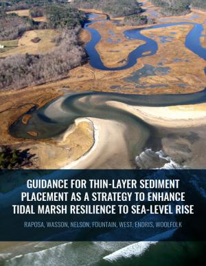
Thin-layer placement (TLP), an emergent adaptation strategy that mimics natural sediment deposition processes, is one of the only viable options to protect tidal marshes from sea level rise in their current footprint. To improve the success of thin-layer placement projects, a collaborative research team at Narragansett Bay and Elkhorn Slough led coordinated restoration experiments at eight National Estuarine Research Reserves on the U.S. East and West coasts to test TLP across diverse marsh plant communities, and produced guidance and recommendations for TLP use. This guidance document is intended to help restoration practitioners, property owners, coastal managers, and funders better understand this strategy for tidal marsh restoration and resilience in the face of sea level rise.
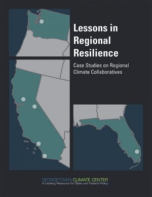
This report is part of a series of six case studies that explore lessons that are being learned by climate collaboratives from around the United States that are bringing together local governments and other stakeholders at the regional level to both reduce carbon pollution (mitigation) and prepare for the impacts of climate change (adaptation). Each case study explores the history and development structure and decision-making methods, funding sources, roles, and initiatives of each of these climate collaboratives. A synthesis report also explores lessons that can be learned by comparing the efforts of each collaborative on climate policy in their regions. These case studies were supported by a grant from the Kresge Foundation. In developing these case studies, the Georgetown Climate Center collaborated with the Alliance of Regional Collaboratives for Climate Adaptation (ARCCA).
The Western Regional Action Plan was developed to increase the production, delivery, and use of climate-related information to fulfill the NOAA Fisheries mission in the region, and identifies priority needs and specific actions to implement the NOAA Fisheries Climate Science Strategy in the West over the next three to five years. The California Current Large Marine Ecosystem (CCLME) spans the entire west coast of the continental U.S. and has significant seasonal, inter-annual, and inter-decadal fluctuations in climate that impact the marine food-web and fisheries. The CCLME is highly important economically and ecologically. Commercial and recreational fisheries in the CCLME contribute significantly to the U.S. economy, and a host of fish, bird, and mammal species depend on the productive waters and lipid-rich food web of the CCLME for their annual feeding migrations. Migrant species include several million metric tons of hake and sardine from the waters off southern California, several hundred million juvenile salmon from U.S. West Coast rivers, millions of seabirds from as far as New Zealand (sooty shearwaters) and Hawaii (Laysan and black-footed albatrosses), and tens of thousands of grey whales from Baja California and humpback whales from the Eastern North Pacific. These feeding migrations allow species to load up on energy reserves as an aid to survival during their winter months in southern extremes of their distribution. Climate-related physical processes that disrupt the CCLME ecosystem may result in negative impacts to U.S. fisheries, migrant species, and the people and communities that depend on these living marine resources.
An analysis of 45 years of U.S. Forest Service records from the western U.S. show that the number of large fires on Forest Service land is increasing dramatically. The area burned by these fires is also growing at an alarming rate.
As the climate changes, critical challenges face water managers, farmers, public agencies, and conservationists in the Colorado River Basin. This report by Carpe Diem West, in partnership with the Center for Natural Resources and Environmental Policy at the University of Montana, documents the concerns of some Colorado River thought leaders and their ideas about potential solutions and paths ahead.
A contribution to the 2013 National Climate Assessment, this report is a summary and synthesis of the past, present, and projected future of the Southwest region’s climate. It emphasizes new information and understandings since publication of the previous national assessment in 2009.
The San Francisco Bay Plan, originally adopted by the California Legislature in 1969, contains the policies that the San Francisco Bay Conservation and Development Commission (BCDC) uses to determine whether permit applications can be approved for projects within the Commission’s jurisdiction—consisting of the San Francisco Bay, salt ponds, managed wetlands, certain waterways, and land within 100 feet of the Bay. On October 6, 2011, the BCDC unanimously approved an amendment to the Plan to update the 22-year-old sea level rise findings and policies and more broadly address climate change adaptation.


