Access a range of climate-related reports issued by government agencies and scientific organizations. Browse the reports listed below, or filter by scope, content, or focus in the boxes above. To expand your results, click the Clear Filters link.
President Obama's Climate Action Plan includes a series of executive actions to reduce carbon pollution, prepare the United States for the impacts of climate change, and lead international efforts to address global climate change.
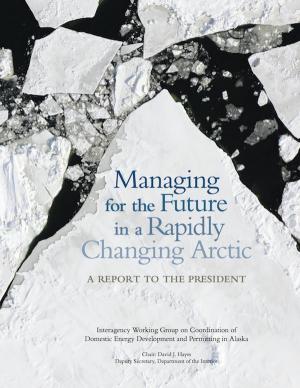
This report from the Alaska Interagency Working Group describes environmental, social, and economic issues in the Arctic U.S. to address management challenges in the region.
This report summarizes the current state of knowledge on potential abrupt changes to the ocean, atmosphere, ecosystems, and high-latitude areas, and identifies key research and monitoring needs. The report calls for action to develop an abrupt change early warning system to help anticipate future abrupt changes and reduce their impacts.
This report is the result of almost a year of studying the effects of sea level rise, coastal flooding, and extreme weather events on Connecticut's shoreline communities. It provides suggestions for coastal resiliency, as well as prevention measures that could reduce the impact of future storms.
This Climate Action Plan represents Baltimore's commitment to being a leader in sustainability and improving their city environment. The plan contains feasible measures to help the city reduce greenhouse gas emissions and curb the effects of climate change. The plan calls for a goal of a 15 percent reduction in greenhouse gas emissions by 2020. In order to reach this goal, the plan promotes renewable energy generation and energy retrofits, waste diversion, and water efficiency. CAP measures will help citizens save energy and money, as well as encourage the use of sustainable modes of transit, high-density urban land use, and increased tree plantings. From the mayor's message: "While we as a City alone cannot change the course of world climate patterns, we must do our part. The City of Baltimore’s Climate Action plan is our promise to take action, reduce our greenhouse gas emissions, increase our quality of life, and grow Baltimore. "
Preparation of the Strategic Climate Action Plan is an opportunity to take stock of progress related to climate change, to look forward, and to plan for the future.
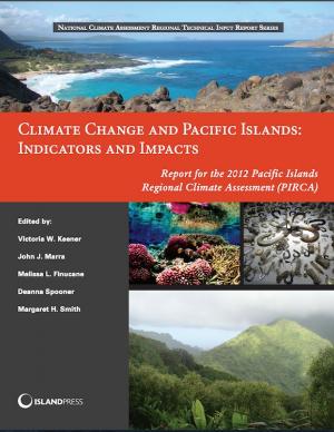
This report assesses the state of climate knowledge, impacts, and adaptive capacity of Hawai‘i and the U.S.-Affiliated Pacific Islands (USAPI). Federal, state, and local government agencies, non-government organizations, businesses, and community groups worked together to produce the report. Its aim is to inform people about climate and help them prioritize their activities in the face of a changing climate.
Global sea level has been steadily rising for decades and is expected to continue. Scientists have very high confidence that global sea level will rise at least another 8 inches and as much as 6.6 feet by 2100, causing significant impacts in U.S. coastal regions. This report lays out the science and describes possible scenarios to help planners and policy leaders assess the risks.
This brochure shares some of the lessons learned from climate-ready estuary projects in New England from 2008 to 2012.
In August 2011, NOAA, the EPA, and the state Sea Grant College Programs of Hawaii, Rhode Island, and Texas hosted a two-day roundtable meeting of national experts from the fields of smart growth, hazard mitigation, climate change adaptation, and coastal management. This report provides an overview of ideas shared during the roundtable. The information is intended to help practitioners consider opportunities for further research, product development and services, and integration of the fields.
No person or place is immune from disasters or disaster-related losses. Infectious disease outbreaks, acts of terrorism, social unrest, or financial disasters in addition to natural hazards can all lead to large-scale consequences for the nation and its communities. Communities and the nation thus face difficult fiscal, social, cultural, and environmental choices about the best ways to ensure basic security and quality of life against hazards, deliberate attacks, and disasters. Beyond the unquantifiable costs of injury and loss of life from disasters, statistics for 2011 alone indicate economic damages from natural disasters in the United States exceeded $55 billion, with 14 events costing more than a billion dollars in damages each.
One way to reduce the impacts of disasters on the nation and its communities is to invest in enhancing resilience--the ability to prepare and plan for, absorb, recover from and more successfully adapt to adverse events. Disaster Resilience: A National Imperative addresses the broad issue of increasing the nation's resilience to disasters. This book defines "national resilience", describes the state of knowledge about resilience to hazards and disasters, and frames the main issues related to increasing resilience in the United States. It also provide goals, baseline conditions, or performance metrics for national resilience and outlines additional information, data, gaps, and/or obstacles that need to be addressed to increase the nation's resilience to disasters. Additionally, the book's authoring committee makes recommendations about the necessary approaches to elevate national resilience to disasters in the United States.
Enhanced resilience allows better anticipation of disasters and better planning to reduce disaster losses-rather than waiting for an event to occur and paying for it afterward. Disaster Resilience confronts the topic of how to increase the nation's resilience to disasters through a vision of the characteristics of a resilient nation in the year 2030. Increasing disaster resilience is an imperative that requires the collective will of the nation and its communities. Although disasters will continue to occur, actions that move the nation from reactive approaches to disasters to a proactive stance where communities actively engage in enhancing resilience will reduce many of the broad societal and economic burdens that disasters can cause
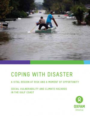
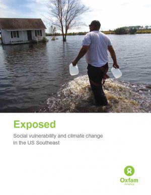
Oxfam America, in their work to shed light on the vulnerability of the geography and people of the U.S. Southeast, commissioned two reports from the Hazards and Vulnerability Research Institute at the University of South Carolina. The first one covers the entire 13-state region, while the second one contains much more detail about Louisiana and Mississippi. This document provides a brief overview of the findings, the concepts, and the methodology. The aim of these materials is to be useful tools to people in coastal communities, and to decision makers shaping policies in the region.
This strategic plan for 2012–2017 uses a science-based approach to address climate change, sustainable fisheries and ecosystem health, land-sea interactions, and existing and emerging ocean uses. For each sector, an overarching goal is articulated along with key issues to be addressed by the California Ocean Protection Council. The plan identifies objectives for making progress toward each goal, as well as actions that the council anticipates undertaking over the plan's five-year time period.
The San Francisco Bay Plan, originally adopted by the California Legislature in 1969, contains the policies that the San Francisco Bay Conservation and Development Commission (BCDC) uses to determine whether permit applications can be approved for projects within the Commission’s jurisdiction—consisting of the San Francisco Bay, salt ponds, managed wetlands, certain waterways, and land within 100 feet of the Bay. On October 6, 2011, the BCDC unanimously approved an amendment to the Plan to update the 22-year-old sea level rise findings and policies and more broadly address climate change adaptation.
This report was prepared for the New York State Department of Transportation to help them identify the vulnerabilities of the state’s transportation system, as well as opportunities to adapt the system and mainstream adaptation into the transportation decision-making process.
The report provides a comprehensive overview of observed and predicted changes to Massachusetts’ climate and the anticipated impacts. It also describes potential adaptation strategies the state may take to prepare for climate change.
A report on climate change impacts and climate change action plans for marine ecosystems on California's north-central coast. It presents scientific observations and expectations to identify potential issues related to changing climate—with an emphasis on the most likely ecological impacts and the impacts that would be most severe if they occur.
The purpose of this guide—an addendum to regional socioeconomic monitoring guidelines produced by the Global Socioeconomic Monitoring Initiative for Coastal Management (SocMon) and its Pacific counterpart, SEM‐Pasifika—is to provide a minimum set of socioeconomic indicators related to climate change. The aim of these programs is to improve site management of coastal and marine areas by providing simple, user‐friendly guidelines on how to conduct a socioeconomic assessment, which helps coastal managers incorporate community views into adaptive management of marine resources.
This plan identifies Ohio's mitigation strategy, which helps guide local mitigation planning and project efforts. The State of Ohio Standard Hazard Mitigation Plan was first approved by FEMA in 2005. This 2011 plan revision details Ohio’s highest priority hazards: river/stream flooding, tornadoes, winter storms, landslides, dam/levee failure, wildfire, coastal flooding, earthquakes, coastal erosion, drought, severe summer storms, invasive species, and land subsidence hazards. The plan also integrates and introduces the State Hazard Analysis, Resource and Planning Portal (SHARPP), a web-based system that captures and disseminates state and local hazard mitigation planning and project information.
In determining appropriate adaptation strategies, project staff worked with participants to survey a wide range of potential strategy options and develop a process for evaluation and prioritization of targeted strategies.
This guide was designed to help U.S. state and territorial coastal managers develop and implement adaptation plans to reduce the impacts and consequences of climate change and climate variability. It was written in response to a request from state coastal managers for guidance from NOAA on adaptation planning in the coastal zone.
Guidance for federal and state agencies and coastal planners for conducting sea level change assessments and mapping. The report is intended to provide technical guidance to agencies, practitioners, and coastal decision-makers seeking to use and/or collect geospatial data to assist with sea level change assessments and mapping products.
These reports for U.S. coastal regions summarize land cover status in 2010 and land cover changes over the previous decade and a half (from 1996 to 2010). They provide an overview of key findings using reader-friendly maps and graphics. All change information was produced as part of NOAA’s Coastal Change Analysis Program (C-CAP) land cover mapping efforts. Reports available: National Overview, Great Lakes, Gulf Coast, Northeast, Southeast, and West Coast.
This report is the Second National Climate Assessment, summarizing the science and impacts of climate change on the United States. The report discusses climate-related impacts for various societal and environmental sectors and regions across the nation. It is an authoritative scientific report written in plain language, with the goal of better informing public and private decision making at all levels.
This report provides a detailed treatment of climate concerns in coastal areas, and proposes an approach for assessing vulnerability to climate change and climate variability, developing and implementing adaptation options, and integrating options into programs, development plans, and projects at the national and local levels. This is known as a vulnerability and adaptation, or V&A, approach.
King County in Washington State has established a comprehensive program to prepare for climate change, and many of the tools and strategies that King County has employed can be applied in other communities. This memorandum from the King County Office of Strategic Planning and Performance Management, published by the American Planning Association, describes strategies developed in King County to direct local government efforts to address climate change.
Historically, studies about climate hazards and social vulnerability have been conducted in separate silos. The Social Vulnerability Index (SoVI) is the first study of its kind to examine both the potential impact of natural hazards and which populations are most likely to be negatively affected. This research, commissioned by Oxfam America, includes a series of layered maps that depict social and climate change-related hazard vulnerability. The maps assist in identifying hotspots in the U.S. Southeast, which are at significant risk in the face of four particular climate change-related hazards: drought, flooding, hurricane force winds, and sea level rise. The specific region of focus is the 13-state region of the US Southeast: Alabama, Arkansas, Florida, Georgia, Kentucky, Louisiana, Maryland, Mississippi, North Carolina, South Carolina, Tennessee, Texas, and Virginia. Roughly 80 percent of all U.S. counties that experience persistent poverty (defined as a county in which at least 20 percent of the population experiences poverty for three decades or more) lie in this region.
A collection of case studies and information about how coastal communities can plan for and adapt to climate change. These resources represent a national guide for how coastal communities can plan and adapt. Case study issues range from coastal managers addressing sea level rise in Rhode Island to coral bleaching caused by rising sea temperatures in Florida.
This report is designed to help Oregon's local decision makers prepare adaptation plans and state agencies to coordinate their infrastructure plans with local adaptation initiatives.
This Synthesis and Assessment Product (SAP), developed as part of the U.S. Climate Change Science Program, examines potential effects of sea level rise from climate change during the twenty-first century, with a focus on the mid-Atlantic coast of the United States. Using scientific literature and policy-related documents, the SAP describes the physical environments; potential changes to coastal environments, wetlands, and vulnerable species; societal impacts and implications of sea level rise; decisions that may be sensitive to sea level rise; opportunities for adaptation; and institutional barriers to adaptation. This SAP discusses ways natural and social science research can improve understanding and prediction of potential impacts to aid planning and decision making.
The Action Plan describes climate effects on the built environment, natural systems, and human health in Virginia and sets forth a comprehensive set of recommendations for reducing greenhouse gases.
This report offers recommendations to protect Maryland’s future economic well-being, environmental heritage, and public safety from the impacts of sea level rise.
As global temperatures increase, sea levels rise, and weather patterns change, the stewards of our nation's infrastructure are challenged to consider how these changes may affect the country's roads, airports, rail, transit systems, and ports. This study focuses on potential impacts of climate change on human infrastructure in the U.S. Gulf Coast region.
This report summarizes findings from a review of coastal hazards associated with sea level rise, hurricanes, nor'easters, and reduced sediment supply. The study also evaluates existing policies and potential knowledge gaps, and develops potential adaptation policies.
This report evaluates and synthesizes knowledge on climate variability, climate change, and increased ultraviolet radiation and their consequences for the Arctic region.
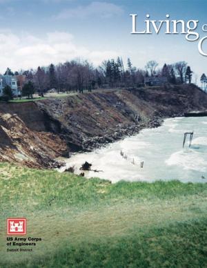
This booklet describes how natural processes affect the coast, including changes in lake levels, storms and storm surges, waves and wave climate, transport of sediment, ice on the shore, shoreline erosion, lakebed erosion, and movement of water on the land. It also describes how to protect coastal investments by adapting to natural processes, restoring a natural shoreline, moderating coastal erosion, armoring the shore, stabilizing bluffs and banks, controlling surface water and groundwater, building environmentally friendly shore protection structures, and working with engineers and contractors. The final section covers risk management and the economics of protecting a coastal investment, including shoreline property features and value, government regulations to protect a coastal investment, costs of shore protection, and accounting for climate change. There is also a list of resources for more information and a glossary of coastal engineering terms.


