Access a range of climate-related reports issued by government agencies and scientific organizations. Browse the reports listed below, or filter by scope, content, or focus in the boxes above. To expand your results, click the Clear Filters link.
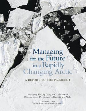
This report from the Alaska Interagency Working Group describes environmental, social, and economic issues in the Arctic U.S. to address management challenges in the region.
Preparation of the Strategic Climate Action Plan is an opportunity to take stock of progress related to climate change, to look forward, and to plan for the future.
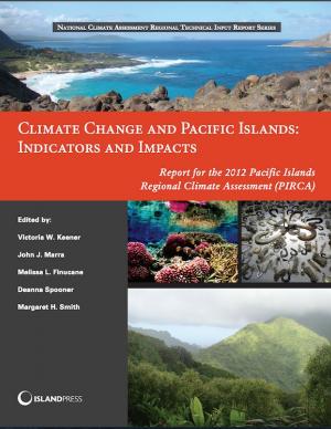
This report assesses the state of climate knowledge, impacts, and adaptive capacity of Hawai‘i and the U.S.-Affiliated Pacific Islands (USAPI). Federal, state, and local government agencies, non-government organizations, businesses, and community groups worked together to produce the report. Its aim is to inform people about climate and help them prioritize their activities in the face of a changing climate.
This brochure shares some of the lessons learned from climate-ready estuary projects in New England from 2008 to 2012.
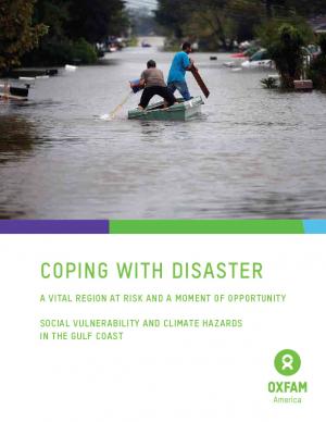
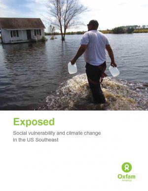
Oxfam America, in their work to shed light on the vulnerability of the geography and people of the U.S. Southeast, commissioned two reports from the Hazards and Vulnerability Research Institute at the University of South Carolina. The first one covers the entire 13-state region, while the second one contains much more detail about Louisiana and Mississippi. This document provides a brief overview of the findings, the concepts, and the methodology. The aim of these materials is to be useful tools to people in coastal communities, and to decision makers shaping policies in the region.
The San Francisco Bay Plan, originally adopted by the California Legislature in 1969, contains the policies that the San Francisco Bay Conservation and Development Commission (BCDC) uses to determine whether permit applications can be approved for projects within the Commission’s jurisdiction—consisting of the San Francisco Bay, salt ponds, managed wetlands, certain waterways, and land within 100 feet of the Bay. On October 6, 2011, the BCDC unanimously approved an amendment to the Plan to update the 22-year-old sea level rise findings and policies and more broadly address climate change adaptation.
In 2008, agricultural greenhouse gas sources accounted for about six percent of total U.S. greenhouse gas emissions. This report, known as the USDA GHG Inventory, was developed to provide a comprehensive assessment of the contribution of U.S. agriculture and forestry to greenhouse gas emissions and carbon sequestration, providing an in-depth look at greenhouse gas emissions and carbon sequestration at the state and regional scales.
This guide was designed to help U.S. state and territorial coastal managers develop and implement adaptation plans to reduce the impacts and consequences of climate change and climate variability. It was written in response to a request from state coastal managers for guidance from NOAA on adaptation planning in the coastal zone.
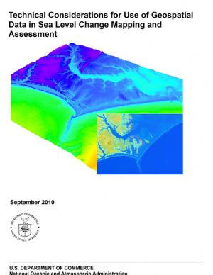
Guidance for federal and state agencies and coastal planners for conducting sea level change assessments and mapping. The report is intended to provide technical guidance to agencies, practitioners, and coastal decision-makers seeking to use and/or collect geospatial data to assist with sea level change assessments and mapping products.
These reports for U.S. coastal regions summarize land cover status in 2010 and land cover changes over the previous decade and a half (from 1996 to 2010). They provide an overview of key findings using reader-friendly maps and graphics. All change information was produced as part of NOAA’s Coastal Change Analysis Program (C-CAP) land cover mapping efforts. Reports available: National Overview, Great Lakes, Gulf Coast, Northeast, Southeast, and West Coast.
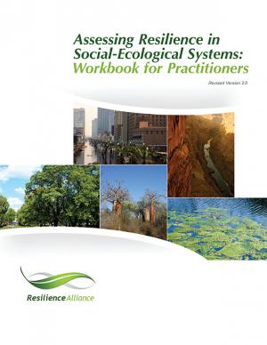
The workbook for practitioners uses strategic questions and activities to assess resilience in social-ecological systems. The approach involves constructing a conceptual model of a system that includes resources, stakeholders, and institutions, and identifies potential thresholds between alternative systems states in order to provide insight into factors that build or erode a system's resilience. A resilience assessment can help with developing strategies for coping with uncertainty and change.
King County in Washington State has established a comprehensive program to prepare for climate change, and many of the tools and strategies that King County has employed can be applied in other communities. This memorandum from the King County Office of Strategic Planning and Performance Management, published by the American Planning Association, describes strategies developed in King County to direct local government efforts to address climate change.
Historically, studies about climate hazards and social vulnerability have been conducted in separate silos. The Social Vulnerability Index (SoVI) is the first study of its kind to examine both the potential impact of natural hazards and which populations are most likely to be negatively affected. This research, commissioned by Oxfam America, includes a series of layered maps that depict social and climate change-related hazard vulnerability. The maps assist in identifying hotspots in the U.S. Southeast, which are at significant risk in the face of four particular climate change-related hazards: drought, flooding, hurricane force winds, and sea level rise. The specific region of focus is the 13-state region of the US Southeast: Alabama, Arkansas, Florida, Georgia, Kentucky, Louisiana, Maryland, Mississippi, North Carolina, South Carolina, Tennessee, Texas, and Virginia. Roughly 80 percent of all U.S. counties that experience persistent poverty (defined as a county in which at least 20 percent of the population experiences poverty for three decades or more) lie in this region.
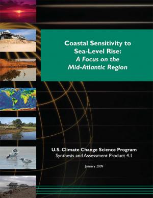
This Synthesis and Assessment Product (SAP), developed as part of the U.S. Climate Change Science Program, examines potential effects of sea level rise from climate change during the twenty-first century, with a focus on the mid-Atlantic coast of the United States. Using scientific literature and policy-related documents, the SAP describes the physical environments; potential changes to coastal environments, wetlands, and vulnerable species; societal impacts and implications of sea level rise; decisions that may be sensitive to sea level rise; opportunities for adaptation; and institutional barriers to adaptation. This SAP discusses ways natural and social science research can improve understanding and prediction of potential impacts to aid planning and decision making.
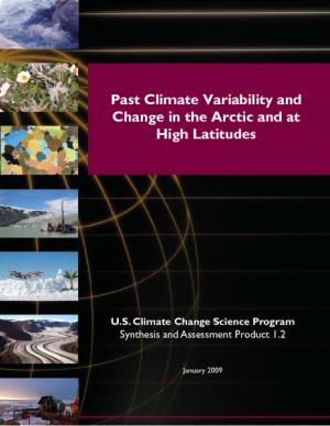
Average temperatures in the Arctic have increased at almost twice the rate of the planet as a whole. Such temperature changes have been accompanied by shrinking sea ice, melting ice and permafrost on land, and widespread impacts to land and ocean ecosystems. This Synthesis and Assessment Product, developed as part of the U.S. Climate Change Science Program, offers recommendations for future research in this area.
A report on climate impacts on coastal and marine ecosystems as it relates to the National Marine Fisheries Service's work.
As global temperatures increase, sea levels rise, and weather patterns change, the stewards of our nation's infrastructure are challenged to consider how these changes may affect the country's roads, airports, rail, transit systems, and ports. This study focuses on potential impacts of climate change on human infrastructure in the U.S. Gulf Coast region.
This Executive Order requires that King County, Washington, municipal departments employ coordinated strategies of land use to mitigate and adapt to global warming.
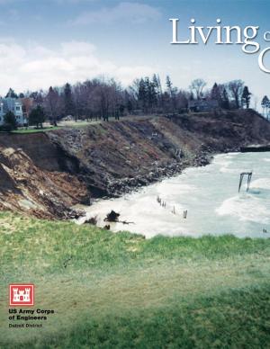
This booklet describes how natural processes affect the coast, including changes in lake levels, storms and storm surges, waves and wave climate, transport of sediment, ice on the shore, shoreline erosion, lakebed erosion, and movement of water on the land. It also describes how to protect coastal investments by adapting to natural processes, restoring a natural shoreline, moderating coastal erosion, armoring the shore, stabilizing bluffs and banks, controlling surface water and groundwater, building environmentally friendly shore protection structures, and working with engineers and contractors. The final section covers risk management and the economics of protecting a coastal investment, including shoreline property features and value, government regulations to protect a coastal investment, costs of shore protection, and accounting for climate change. There is also a list of resources for more information and a glossary of coastal engineering terms.
Pages
- « first
- ‹ previous
- 1
- 2
- 3
- 4

