Access a range of climate-related reports issued by government agencies and scientific organizations. Browse the reports listed below, or filter by scope, content, or focus in the boxes above. To expand your results, click the Clear Filters link.
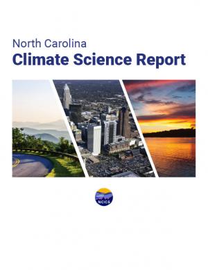
This report is a scientific assessment of historical climate trends and potential future climate change in North Carolina under increased greenhouse gas concentrations. The report includes an overview of the physical science of climate change, detailed information on observed and projected changes in temperature and precipitation averages and extremes, hurricanes and other storms, sea level, and other relevant climate metrics. Findings are presented for both the state as a whole and for each of three regions in the state: the Coastal Plain, the Piedmont, and the Western Mountains. The report also includes chapters on sea level rise, trends involving interactions of multiple aspects of the climate system (including inland flooding, wildfire, forest ecosystem changes, urban heat island effects, and air pollution), and findings relevant to engineering design standards.
A case study approach to calculating the economic impact of the U.S. Climate Resilience Toolkit.
The Nags Head Comprehensive Plan is an official policy document adopted by the Town of Nags Head to strategically plan for and enhance the quality of life and physical character of the community. The plan, while not regulatory in nature, builds upon adopted plans and policies to provide a foundation for decision making, future regulations, and project development. Further, the plan was created utilizing community input to illustrate a vision for the future of Nags Head and define steps to secure that future.
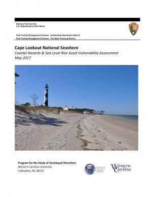
The protocol developed and used in this report is unique in that it is an asset-level assessment of the vulnerability of infrastructure to multiple coastal hazards and climate change factors (e.g., erosion, flooding, storm surge, sea-level rise, and historical flooding) over a 35-year planning horizon (2050). The protocol was applied to all buildings and roads in Cape Lookout National Seashore; the results are summarized in the report.
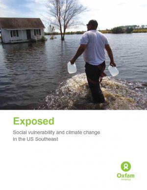
Historically, studies about climate hazards and social vulnerability have been conducted in separate silos. The Social Vulnerability Index (SoVI) is the first study of its kind to examine both the potential impact of natural hazards and which populations are most likely to be negatively affected. This research, commissioned by Oxfam America, includes a series of layered maps that depict social and climate change-related hazard vulnerability. The maps assist in identifying hotspots in the U.S. Southeast, which are at significant risk in the face of four particular climate change-related hazards: drought, flooding, hurricane force winds, and sea level rise. The specific region of focus is the 13-state region of the US Southeast: Alabama, Arkansas, Florida, Georgia, Kentucky, Louisiana, Maryland, Mississippi, North Carolina, South Carolina, Tennessee, Texas, and Virginia. Roughly 80 percent of all U.S. counties that experience persistent poverty (defined as a county in which at least 20 percent of the population experiences poverty for three decades or more) lie in this region.


