Access a range of climate-related reports issued by government agencies and scientific organizations. Browse the reports listed below, or filter by scope, content, or focus in the boxes above. To expand your results, click the Clear Filters link.
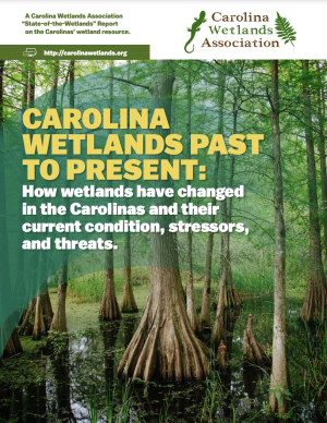
The purpose of this report published by the Carolina Wetlands Association is to present an overview of the state of an important but shrinking resource – wetlands in North and South Carolina. The report will establish a baseline – as a basis for seeing future trends in wetlands in the Carolinas – by addressing the following questions.
- What are the functions and benefits of wetlands in the Carolinas?
- How many wetlands do we have, what are their types, and where are they?
- How have past and current land-use practices affected our wetlands?
- What other threats/stressors are there and how can we manage them?
- What is the current condition of our wetlands?
- How do we protect and manage this valuable resource through education, conservation, restoration, and other activities?
This report is current as of 2020 and will be updated as more is learned and potentially as wetlands are conserved and protected across the Carolinas in the coming years.
For the six states of the U.S. Southwest (Arizona, California, Colorado, Nevada, New Mexico, and Utah)i , January 2020 through August 2021 have been exceptional in the instrumental climate record since 1895, with the lowest total precipitation and the third-highest daily average temperatures recorded, which together imposed an unyielding, unprecedented, and costly drought. This exceptional drought punctuates a two-decade period of persistently warm and dry conditions throughout the region.
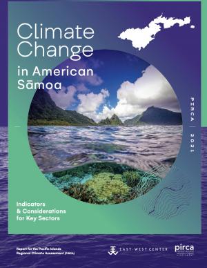
Climate change is expected to disrupt many aspects of life in American Sāmoa. Those who are already vulnerable—including children, the elderly, low-income families, and individuals with disabilities—are at greater risk from extreme weather and climate events. This report provides guidance for decision makers seeking to better understand the implications of climate variability and change for American Sāmoa and its communities and identifies the additional information and research needed to support responses that enhance resilience and help American Sāmoa to withstand the changes to come. This is one of a series of PIRCA reports aimed at assessing the state of knowledge about climate change indicators, impacts, and adaptive capacity of the U.S.-Affiliated Pacific Islands and the Hawaiian archipelago. Authors from the University of Hawai‘i and the East-West Center—along with 25 technical contributors from local governments, NGOs, researchers, and community groups—collaboratively developed the American Sāmoa report.
This report's subtitle is Managing the Uncertainty of Future Sea Level Change and Extreme Water Levels for Department of Defence Coastal Sites Worldwide.
From the Executive Summary: Global change, including climate change, poses unique challenges to the Department of Defense (DoD). In particular, coastal military sites, and their associated natural and built infrastructure, operations, and readiness capabilities, are vulnerable to the impacts of rising global sea level and local extreme water level (EWL) events. This report and its accompanying scenario database provide regionalized sea level and EWL scenarios for three future time horizons (2035, 2065, and 2100) for 1,774 DoD sites worldwide. The global nature of DoD’s presence required a broad and comprehensive approach that to this point has been lacking in similar efforts.
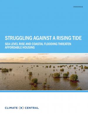
This report highlights the equity implications of sea level rise in the first nationwide assessment of risk to the country’s affordable housing supply. As climate change causes sea levels to rise, the number of affordable housing units at risk of coastal flooding is projected to more than triple to nearly 25,000 nationwide over the next 30 years.
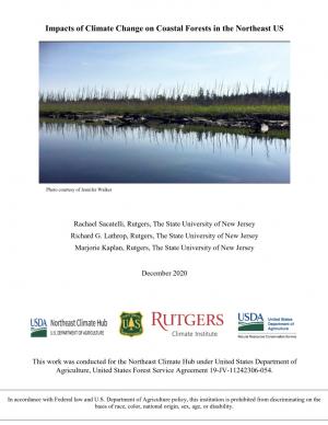
As sea levels rise along the Northeastern U.S., coastal forest ecosystems are being impacted. To better enable climate-smart decision-making, the U.S. Department of Agriculture Northeast Climate Hub engaged researchers at Rutgers University to conduct a synthesis of the current state of knowledge concerning how Northeastern U.S. coastal forests, specifically those in mid-Atlantic and southern New England states (VA, MD, DE, NJ, NY, CT, and MA), are responding to impacts from climate change. Drawing upon the scientific literature, expert interviews, and a January 2020 convening of scientists and land managers at the U.S. National Agricultural Library, Beltsville, Maryland, this synthesis identifies key knowledge gaps as well as potential management approaches.
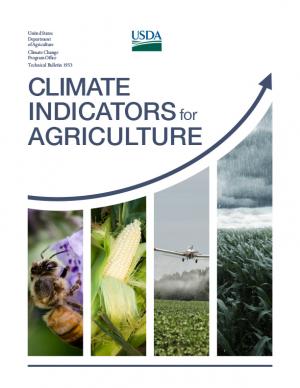
This report provides national, regional, and local information to support effective decision making by U.S. agricultural producers, resource managers, and other agricultural system stakeholders. A set of 20 indicators identifies high-priority agricultural and climate data products while providing the basis for tracking climate change as it plays out across American working lands, toward devising adaptive operational responses.
The report was written as input to the sustained National Climate Assessment process to provide a discrete set of variables that describe linkages between climate trends and variability and U.S. agriculture in recent decades. An additional objective is that the indicators themselves (along with the frameworks for constructing location- and operation-specifc indicators) provide an information resource that can help information service programs, such as USDA’s Climate Hubs, evaluate operational risks posed by climate change in specifc production systems across the country.
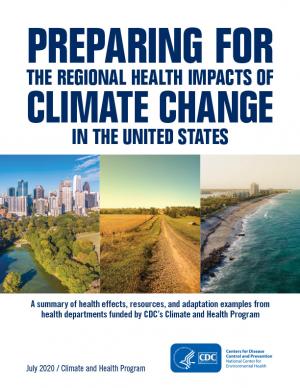
Each region of the United States experiences climate change and its impacts on health differently, due to the regions’ location-specific climate exposures and unique societal and demographic characteristics. This document describes the various health impacts climate change will have on different regions of the United States as outlined in the Fourth National Climate Assessment (NCA4), actions taken by the CDC Climate and Health Program’s health department partners to prepare for and respond to climate change in their communities, and relevant tools and resources.
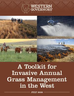
The Western Governors’ Association and the U.S. Department of Agriculture are pursuing an effort to meaningfully address the large-scale infestation of invasive annual grasses on western forests and rangelands. One product of this effort is this toolkit for land managers working to combat the spread of invasive annual grasses in the West. The toolkit is comprised of a roadmap for invasive grass management, with new best management practices; case studies highlighting the application of these practices in Idaho and Wyoming; and a new geospatial data layer (which uses analytical tools to compile existing federal data) to help state and local managers assess invasive annual grasses within their jurisdictions while also offering opportunities to identify new cross-boundary collaborative projects. The roadmap and data layer are designed for easy integration into local management plans and can be tailored by state and local managers to reflect local data, knowledge, capacities, and priorities.
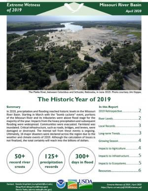
The heavy precipitation and flooding of 2019 was one for the history books. This report looks back at the major climate events and impacts of 2019 in the Missouri River Basin.
The Fish and Wildlife Relevancy Roadmap is a practical guide that state and provincial fish and wildlife conservation agencies can use to overcome barriers to broader relevance, public engagement, and support. The roadmap is not prescriptive and provides multiple pathways to respond to the diverse social, economic, demographic, political, and environmental changes that states and provinces face. The Roadmap was developed by a team of over 60 leaders from state, federal, provincial, and private conservation organizations and others with an interest in conservation.
Alaska has recently experienced profound environmental change related to extreme weather events and deviations from the historical climate. Sustained warmth, sea ice loss, coastal flooding, river flooding, and major ecosystem changes have impacted the daily lives of Alaskans around the state. The International Arctic Research Center and the University of Alaska Fairbanks have documented these changes, and are providing individuals, Alaska businesses, communities, government, and others with the resources they need to better assess impacts and develop adaptation strategies.
Drawing and building on the findings of the Arctic Monitoring and Assessment Programme's (AMAP) 2017 Snow, Water, Ice and Permafrost in the Arctic (SWIPA) assessment, this document provides updated observations, information from other recent assessments, and conclusions from the latest reviews of Arctic trends and indicators. The pace of change in the Arctic is so rapid that new records are being set annually, and each additional year of data strengthens the already compelling evidence of a rapidly changing Arctic.
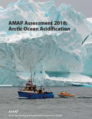
This Summary for Policymakers summarizes the findings of the AMAP Assessment 2018: Arctic Ocean Acidification report released in October 2018. It offers a review of the latest science relating to regional ocean acidification, the biological responses to it, an overview of case studies and their associated findings, and recommendations for the Arctic Council.
The Beloved Community is a vision for our future where all people share equally in the wealth and bounty of the earth, where we protect its abundance, diversity, and beauty for future generations. In this vision of liberation, racism, exploitation, and domination are replaced by democracy, cooperation, interdependence, and love. To get there, we pursue transformative, systems-change solutions. What do we mean by this? The root causes of the problems our communities face—like climate change, racism, and economic inequality—are all deeply connected. Since the problems are connected, so are the solutions. The purpose of this toolkit is to put us on the path toward achieving this vision. Through the context of building equity and resilience into climate adaptation planning, we introduce strategies to transform our communities and, by extension, society. Our ultimate goal is to create lasting and systemic change. At the same time, we recognize the urgency of the issues our communities face and the need to take action now. That is why we pursue change at every scale—from policy changes to community-based projects—to institute the transformative change we need to uphold our vision of the beloved community.
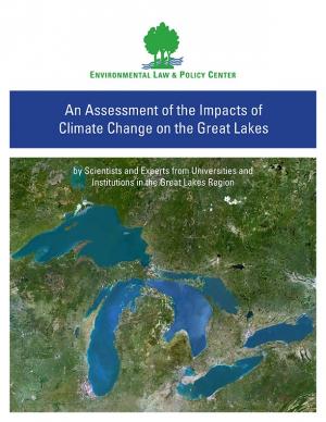
Climate change is causing significant and far-reaching impacts on the Great Lakes and the Great Lakes region. This report, from 18 leading scientists and experts from Midwest and Canadian universities and research institutions, draws on the array of existing research to assess how the shifting global climate impacts the unique Great Lakes region.
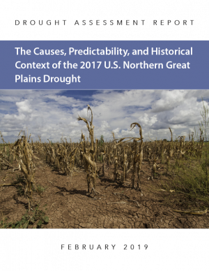
This drought assessment report spans a Northern Great Plains region that includes North Dakota, South Dakota, and eastern Montana. It begins with an examination of the observed hydroclimatic conditions that led to the 2017 spring and summertime drought and places those conditions into historical context of 1895–present. The role of anthropogenic climate change is assessed through its possible impact on 2017 precipitation, temperature, and soil moisture. Finally, the report examines whether the record-low summertime precipitation that led to the 2017 drought was predicted by modern initialized forecast systems used by drought forecasters.
The Global Change Research Act of 1990 mandates that the U.S. Global Change Research Program deliver a report to Congress and the President no less than every four years that “1) integrates, evaluates, and interprets the findings of the Program…; 2) analyzes the effects of global change on the natural environment, agriculture, energy production and use, land and water resources, transportation, human health and welfare, human social systems, and biological diversity; and 3) analyzes current trends in global change, both human-induced and natural, and projects major trends for the subsequent 25 to 100 years.” The Fourth National Climate Assessment (NCA4) fulfills that mandate in two volumes. This report, Volume II, draws on the foundational science described in Volume I, the Climate Science Special Report. Volume II focuses on the human welfare, societal, and environmental elements of climate change and variability for 10 regions and 18 national topics, with particular attention paid to observed and projected risks, impacts, consideration of risk reduction, and implications under different mitigation pathways. Where possible, NCA4 Volume II provides examples of actions underway in communities across the United States to reduce the risks associated with climate change, increase resilience, and improve livelihoods. This assessment was written to help inform decision makers, utility and natural resource managers, public health officials, emergency planners, and other stakeholders by providing a thorough examination of the effects of climate change on the United States.
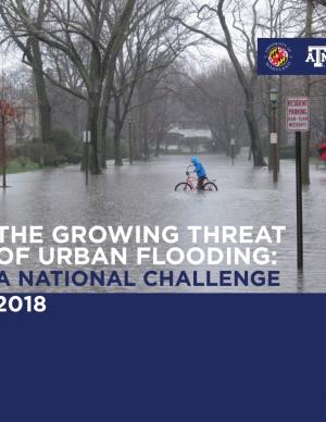
This report offers the first national assessment of the scope and consequences of urban flooding in the United States. Researchers analyzed available data concerning urban flooding, surveyed municipal flood and stormwater managers, and met with professionals whose disciplines intersect with urban flooding at the local, state, and national level. The research team's findings affirm that urban flooding is a national and significant source of economic loss, social disruption, and housing inequality. This report presents the full results of the study, addresses governance issues that affect urban flood risk reduction, examines critical challenges, and offers recommendations for actions.
The continuing acidification of the Arctic Ocean is projected to have significant ecological and socioeconomic impacts over coming decades, with consequences both for local communities and globally. This is the overarching finding of the 2018 Arctic Ocean Acidification Assessment, presented at the 2018 Arctic Biodiversity Congress. The assessment, conducted by the Arctic Monitoring and Assessment Programme (AMAP) of the Arctic Council, updates a 2013 assessment and presents the chemical, biological, and socioeconomic impacts of ocean acidification, which is driven primarily by global greenhouse gas emissions.
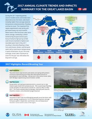
Coordinated by a partnership between climate services organizations in the U.S. and Canada, this product provides a synthesis report summarizing the previous years’ climate trends, events, new research, assessments, and related activities in the Great Lakes region. The 2017 report provides an overview of the climate trends and impacts in the basin for the year, including information on the past year’s climate trends, a summary of some of the major climatic events, and a summary of relevant new climate research and activities. It was developed as a longer term trend analysis and compilation of the existing Great Lakes Region Quarterly Climate Impacts and Outlook and is intended for use by managers and practitioners at federal, state, provincial, regional, and local scales, as well as for stakeholders and the general public. The report is also available for download from binational.net.
This analysis examines what's at risk for U.S. coastal real estate from sea level rise. Millions of Americans living in coastal communities will face more frequent and disruptive high-tide flooding; as this flooding increases, it will reach a threshold where normal routines become impossible and coastal residents, communities, and businesses are forced to make difficult, often costly choices. For this analysis, that threshold is defined as flooding that occurs 26 times per year (on average, once every other week) or more, a level of disruption referred to as chronic inundation. The results identify the number of residential and commercial properties at risk of chronic inundation—and the total current property value, estimated population, and property tax base affected—for the entire coastline of the lower 48 states.
The Northern Rockies Adaptation Partnership identified climate change issues relevant to resource management in the Northern Rockies region and developed solutions intended to minimize negative effects of climate change and facilitate transition of diverse ecosystems to a warmer climate. Their vulnerability assessment emphasizes water, fisheries, wildlife, forest and rangeland vegetation and disturbance, recreation, cultural heritage, and ecosystem services, which are regarded as key resource areas for local ecosystems and communities. Resource managers used the assessment to develop a detailed list of ways to address climate change vulnerabilities through management actions. The large number of adaptation strategies and tactics, many of which are a component of current management practice, provide a pathway for slowing the rate of deleterious change in resource conditions.
The Northern Rockies Adaptation Partnership identified climate change issues relevant to resource management in the Northern Rockies region and developed solutions intended to minimize negative effects of climate change and facilitate transition of diverse ecosystems to a warmer climate. Their vulnerability assessment emphasizes water, fisheries, wildlife, forest and rangeland vegetation and disturbance, recreation, cultural heritage, and ecosystem services, which are regarded as key resource areas for local ecosystems and communities. Resource managers used the assessment to develop a detailed list of ways to address climate change vulnerabilities through management actions. The large number of adaptation strategies and tactics, many of which are a component of current management practice, provide a pathway for slowing the rate of deleterious change in resource conditions.
During late 2016, the National Integrated Drought Information System, the National Drought Mitigation Center, the Midwestern Regional Climate Center, and other regional partners convened four stakeholder meetings in the Midwest Drought Early Warning System. Each of these meetings included a historical drought overview and climate outlook for the region, discussion of critical drought-related needs and challenges, exploration of available tools, local drought planning and management approaches, and strategy development to improve drought early warning and resiliency in the Midwest.
The SWIPA 2017 assessment is the fourth assessment from the Arctic Monitoring and Assessment Programme addressing Arctic climate issues and is a direct follow-up to the first Snow, Water, Ice and Permafrost in the Arctic (SWIPA): Climate Change and the Cryosphere assessment report published in 2011. The SWIPA 2017 assessment was conducted between 2010 and 2016 by an international group of over 90 scientists, experts, and knowledgeable members of the Arctic indigenous communities. Access to reliable and up-to-date information is essential for the development of science-based decision making regarding ongoing changes in the Arctic and their global implications.
This guidebook results from the culmination of a year of dialogue among diverse stakeholders in southeastern Connecticut who defined challenges and solutions from extreme weather, climate change, and shifting social and economic conditions. Participants included representatives from nine municipalities, public and private utilities, public health departments, chambers of commerce, major employers, conservation organizations, academic institutions, community non-profits, and state agencies, among others. The dialogue captured six themed planning sectors (water, food, ecosystem services, transportation, energy, and regional economy) in a process that used surface and integrated solutions to address singular and multiple challenges across planning sectors. The guidebook provides a quick reference resource to help shape and inform actions that will advance a regional resilience framework for southeastern Connecticut; an accompanying Summary of Findings captures the project's final outcomes and conclusions, as well as providing a comprehensive account of the objectives, process, and details.
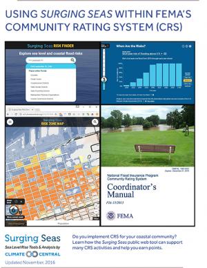
This guide describes how Climate Central's Surging Seas web tool can be used to support activities that receive points within the Federal Emergency Management Agency's (FEMA) Community Rating System (CRS) program. It is informed by conversations with local CRS coordinators and implementers, and with FEMA CRS representatives. The guide provides step-by-step instructions on how to access and obtain information and downloads from the Surging Seas tool that could be utilized within specific CRS activities in FEMA’s Coordinator’s Manual (FIA-15/2013).
With insight from 26 campus and stakeholder advisors, the support of the USDA Agricultural Marketing Service’s Transportation Division, and input from regional food supply chain businesses throughout the region, this 68-page report details the process used to assess the Chicago region food system and findings through the three-year participatory research effort. It includes eleven sections with 17 figures to illustrate key concepts, along with extensive supporting materials. The report presents three innovations with proofs of concept that could be applied widely in the region and beyond to improve food distribution, both in rural and urban regions.
As climate changes and ocean temperatures rise, the abundance, distribution, and life cycles of fish in federally managed ocean fisheries may change too. Federal agencies managing ocean fisheries have limited information to determine exactly how climate change might harm specific fish populations, and may not always understand the potential effects. To better manage climate-related risks, the report recommends (1) the development of guidance on how to incorporate climate information into the fisheries management process, and (2) finalizing Regional Action Plans for implementing the NOAA Fisheries Climate Science Strategy that incorporate performance measures for tracking achievement of the Strategy’s Objectives.
An analysis of 45 years of U.S. Forest Service records from the western U.S. show that the number of large fires on Forest Service land is increasing dramatically. The area burned by these fires is also growing at an alarming rate.
The SECURE Water Report identifies climate change as a growing risk to Western water management and cites warmer temperatures, changes to precipitation, snowpack and the timing and quality of streamflow runoff across major river basins as threats to water sustainability. Water supply, quality and operations; hydropower; groundwater resources; flood control; recreation; and fish, wildlife and other ecological resources in the Western states remain at risk.
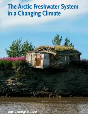
The Arctic is changing at a startling pace. Understanding the role of freshwater in these changes—both how Arctic freshwater systems are affected by climate change, and how changes to the Arctic freshwater system will affect other environmentally relevant processes—is critical to understanding how these changes will affect the lives of people living in the Arctic and beyond. This report is intended to inform the non-expert reader about these changes to the freshwater systems in the Arctic, and their implications.
This fact sheet presents recent climate change investigations of the U.S. Geological Survey in New England using selected recent publications that highlight the broad spectrum of expertise and commitment to understanding the relations of climate change and water resources in the region.
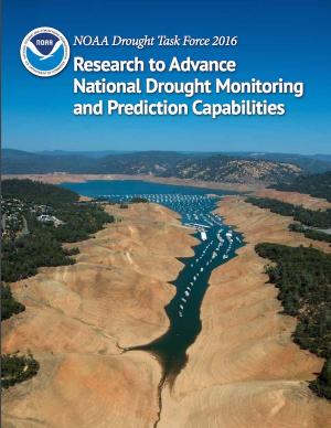
Drought threatens our country’s natural resources, economy, and overall health. Increasingly, NOAA is charged with providing and improving information that helps stakeholders at all levels manage water resources in a more resilient and climate-smart manner. Working with input from farmers, ranchers, natural resource managers, and other drought-impacted industries and populations, NOAA research has worked to improve drought monitoring and prediction for better planning and mitigation of impacts.
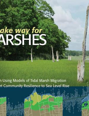
Rapidly rising seas threaten to drown tidal marshes and diminish the benefits provided to people and wildlife by these valuable coastal ecosystems. Increasingly, government agencies and non-government organizations are harnessing the power of computer-based models of marsh ecosystems to inform management and policy strategies to sustain tidal marshes. This report covers the entire modeling lifecycle, from developing a modeling approach and working with data to communicating modeling results. While some of the information pertains specifically to the northeastern United States, the report is also intended as a useful resource for modeling of marsh migration in other regions. The report is available online, with a printer-friendly version also available for download.

