Access a range of climate-related reports issued by government agencies and scientific organizations. Browse the reports listed below, or filter by scope, content, or focus in the boxes above. To expand your results, click the Clear Filters link.
This report (avialable here) describes a conceptual model of climate resilience, codified as an index. The Climate Resilience Screening Index (CRSI) is designed to be sensitive to changes in the natural environment, built environment, governance, and social structure and vulnerability or risk to climate events. CRSI has been used to develop an index score for climate resilience at the county level (scalable both upward and downward spatially). The index represents both the vulnerability of the entity to multiple climate events and the potential recoverability of these entities from climate events.
The approach uses five domains and 20 indicators related to the domains. CRSI characterizes holistic climate resilience throughout the US at the county level (2000-2015); ascertains the relationships among those domains and indicators; and, provide information regarding how that resilience score is constructed and the actions a community/county can take to improve their climate resilience.
This assessment of seven priority hazards was undertaken by the Florida BRACE (Building Resilience Against Climate Effects) program. Existing climate scenarios project heat, drought, and sea level rise vulnerability to the year 2100 with a high, medium, and low range of outcomes for these three hazards. Hurricane winds, storm surge, flooding, and wildland fire are more difficult to project into the future due to a significantly smaller geographic impact; for these four hazards, probability indexes were used in conjunction with historical patterns to explain possible changes to Florida’s long-term weather. Social and medical vulnerability indices were also employed to quantify social and medical vulnerability to these priority hazards.
This assessment was a multidisciplinary research project that investigated future changes to southern Santa Barbara County climate, beaches, watersheds, wetland habitats, and beach ecosystems. The target audience is local land use planners and decision makers, and the main objective is to provide information that assists the cities of Santa Barbara, Carpinteria, and Goleta, the County of Santa Barbara, and UC Santa Barbara in climate adaptation planning with a clear focus on coastal ecosystems.
In the aftermath of Tropical Storms Irene and Sandy, the population centers of Greater New Haven and Bridgeport recognized significant exposure and vulnerability to their infrastructure, environment, and socioeconomic assets from extreme weather events and a changing climate. To counteract immediate and longer-term risks and broaden dialogue on community resilience building, the Southern Connecticut Regional Framework for Coastal Resilience project was launched. The overarching goal of this project was prioritizing actions and strengthening partnerships by providing proactive risk assessment, community engagement, conceptual design of on-the-ground projects, and this Final Report. The principal purpose of the project was to advance a Regional Resilience Framework—built on projects and partnerships—needed to help improve resilience for over 591,000 residents that represent over 30 percent of Connecticut’s coast. A core goal of this project was to strengthen the resilience of existing and future ecosystems, including a diverse suite of services and co-benefits, alongside existing and future development activities within a population center critical to the state of Connecticut’s future.
With support from the Minnesota Pollution Control Agency, the Region Nine Development Commission created this plan to assess South Central Minnesota’s vulnerability to climate change and create strategies for the region to adapt to climate change. Region Nine, working in tandem with a Climate Change Adaptation Task Force, identified eight top priority sectors to prioritize the planning process: agriculture, water, human health, energy, transportation, forests, ecosystems, business, and economy. The result of the planning process was real, actionable strategies that can be used as a guide to initiate discussions and begin a planning process in Region Nine communities.
The protocol developed and used in this report is unique in that it is an asset-level assessment of the vulnerability of infrastructure to multiple coastal hazards and climate change factors (e.g., erosion, flooding, storm surge, sea-level rise, and historical flooding) over a 35-year planning horizon (2050). The protocol was applied to all buildings and roads in Cape Lookout National Seashore; the results are summarized in the report.
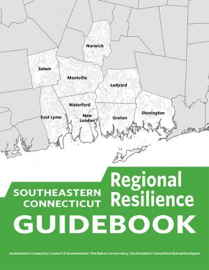
This guidebook results from the culmination of a year of dialogue among diverse stakeholders in southeastern Connecticut who defined challenges and solutions from extreme weather, climate change, and shifting social and economic conditions. Participants included representatives from nine municipalities, public and private utilities, public health departments, chambers of commerce, major employers, conservation organizations, academic institutions, community non-profits, and state agencies, among others. The dialogue captured six themed planning sectors (water, food, ecosystem services, transportation, energy, and regional economy) in a process that used surface and integrated solutions to address singular and multiple challenges across planning sectors. The guidebook provides a quick reference resource to help shape and inform actions that will advance a regional resilience framework for southeastern Connecticut; an accompanying Summary of Findings captures the project's final outcomes and conclusions, as well as providing a comprehensive account of the objectives, process, and details.
This report details the 2016 collaborative assessment project of the Upper Snake River Tribes Foundation and its member tribes—the Burns Paiute Tribe, the Fort McDermitt Paiute-Shoshone Tribe, the Shoshone-Bannock Tribes, and the Shoshone-Paiute Tribes—and partners Adaptation International, the University of Washington, and Oregon State University. The project assessed climate change vulnerability for the Upper Snake River watershed in Idaho, Nevada, and Oregon, and combined the best available localized climate projections with traditional knowledge, tribal priorities, and local observations to develop quantitative vulnerability rankings for 16 species of shared concern and a qualitative assessment for an additional 12 shared concerns. The set of 28 shared concerns assessed for climate change vulnerability provided a balanced cross-section of the species, habitats, and resource issues important to the tribes. Along with this report, the project also produced eight summary sheets detailing specific species and habitat vulnerability.
Climate Ready Boston is an ongoing initiative to help the people and city of Boston to plan for the future impacts of climate change and develop resilient solutions. Boston Mayor Martin J. Walsh describes the challenge and the city's commitment in the report's introduction: "Climate change poses a greater threat to some Bostonians. The very young and very old, people who do not speak English, and those with low incomes or medical illnesses or disabilities are all at elevated risk. By ensuring that our solutions are built together with those communities and in response to their needs, climate action will help us build a more equitable city. Furthermore, because climate change knows no borders, we will work with neighboring municipalities to address the regional impacts we face together." The Climate Ready Boston website offers proposed solutions and information specific to a range of locales. It also offers a presentation and report on Climate Change and Sea Level Rise Projections for Boston.
This Web toolkit raises airport operator awareness about vulnerabilities caused by significant weather events. The toolkit helps airports develop more robust contingency and recovery plans, in addition to their airport emergency plans. The toolkit focuses on events that are “rare but plausible”; that is, events that may have happened in the distant past, or in adjacent geographic areas, but are not common event types at the airport itself, and therefore may not be in the forefront of the airport managers’ minds.
This guide provides basic assistance to electric utilities and other stakeholders in assessing vulnerabilities to climate change and extreme weather and in identifying an appropriate portfolio of resilience solutions. The guide is also part of a broader DOE effort to inform preparedness, resilience planning, and response initiatives.
Climate change impacts ecosystems in many ways, from effects on species to phenology to wildfire dynamics. Assessing the potential vulnerability of ecosystems to future changes in climate is an important first step in prioritizing and planning for conservation. Although assessments of climate change vulnerability commonly are done for species, fewer have been done for ecosystems. To aid regional conservation planning efforts, this report assesses climate change vulnerability for ecosystems in the Southeastern United States and Caribbean.
This Health Impact Assessment was done in conjunction with the development of an adaptation plan, with the goal of ensuring that the strategies developed would be health-focused before implementation. By conducting the HIA during the Climate Change Adaptation Plan’s development, greater efficiencies were created in terms of addressing strategy-specific, health-related issues that could be avoided at the start, rather than discovering them after the strategies had already been implemented. This report is the culmination of the HIA process and summarizes each step of the assessment, including the HIA Project Team and Advisory Committee’s recommendations for improving the Climate Change Adaptation Plan. The adoption of these recommendations will increase the value relevance of the adaptation plan and benefit the health of the region.
This report provides guidance for evaluating how sea level rise and storm surge hazards may impact the ability to provide electricity service, and for identifying and implementing solutions to enhance resilience. The document includes examples of various tools, methods, and information resources that can assist in resiliency planning. In addition, climate resilience challenges and opportunities for different types of generation, transmission, and distribution assets are identified. It also includes general methods on how to estimate the costs and benefits of resilience measures.
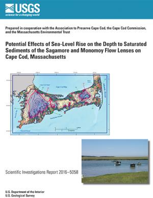
In 2014, the U.S. Geological Survey, in cooperation with the Association to Preserve Cape Cod, the Cape Cod Commission, and the Massachusetts Environmental Trust, began an evaluation of the potential effects of sea-level rise on water table altitudes and depths to water on central and western Cape Cod, Massachusetts. Researchers found that the potential does exist for groundwater inundation in some areas, but the effects of sea-level rise on depths to water and infrastructure likely will not be substantial on a regional level.
A number of utilities across the country participating in the Department of Energy's Partnership for Energy Sector Climate Resilience have completed climate change vulnerability assessments. They used a variety of approaches to examine vulnerabilities affecting different categories of utility assets and operations, and the climate stressors of concern varied by region and by utility. This report details current practices, lessons learned, and needs identified by partners in conducting these assessments.
This assessment strengthens and expands our understanding of climate-related health impacts by providing a more definitive description of climate-related health burdens in the United States. It builds on the 2014 National Climate Assessment and reviews and synthesizes key contributions to the published literature. The findings represent an improvement in scientific confidence in the link between climate change and a broad range of threats to public health, while recognizing populations of concern and identifying emerging issues. The overall findings underscore the significance of the growing risk climate change poses to human health in the United States.
This fact sheet presents recent climate change investigations of the U.S. Geological Survey in New England using selected recent publications that highlight the broad spectrum of expertise and commitment to understanding the relations of climate change and water resources in the region.
The State of Maine is experiencing shifts in atmospheric and oceanographic conditions that put it at the precipice of abrupt climate change. This report—part of the Department of Homeland Security's Regional Resiliency Assessment Program (RRAP)—focuses on the local and regional consequences of climate disruptions and their impacts on critical infrastructure in the Casco Bay region, the most developed and populous region in Maine. The report identifies vulnerabilities that may potentially affect the region’s ability to maintain its critical infrastructure systems and recover from the impacts of climate change.
This technical report focuses on sharing the collective efforts of the Inuit Circumpolar Council-Alaska, 146 Inuit contributing authors, a 12-member Food Security Advisory Committee, and many other Inuit who provided input and guidance to the process. The report aspires to strengthen the evidence base of (1) what Inuit food security is, (2) what the drivers of food (in)security are, and (3) identify information needed to conduct an assessment through the development of a conceptual framework. The assessment tool is designed to build the baseline of information needed to understand the Arctic environment and allow a pathway for assessments (food security, ecosystem, political, cultural, etc.) to link eco- and socio- components of sciences and indigenous knowledge.
In January 2015, Long Beach Mayor Robert Garcia asked the Aquarium of the Pacific to take a lead in assessing the primary threats that climate change poses to Long Beach, to identify the most vulnerable neighborhoods and segments of the population, and to identify and provide a preliminary assessment of options to reduce those vulnerabilities. Over the course of 2015, the Aquarium hosted and participated in meetings and workshops with academic and government scientists, business and government leaders, local stakeholders, and Long Beach residents to discuss key issues facing our community as the result of climate change. This report, completed in December 2015, represents the culmination of these efforts. The report offers detailed assessments of the five main threats of climate change to Long Beach: drought, extreme heat, sea level rise and coastal flooding, deteriorating air quality, and public health and social vulnerability. It also provides an overview of what is currently being done to mitigate and adapt to these threats, and other options to consider. Finally, this report presents a series of steps and actions that city leaders and community stakeholders can use as a template for making Long Beach a model of a climate resilient city.
King County, Washington's Strategic Climate Action Plan sets forth strategies for reducing greenhouse gas emissions and preparing for climate change impacts.
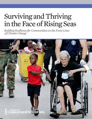
Coastal communities across the United States are facing worsening risks of flooding during routine high tides and damaging storm surges. With sea level rise accelerating along the East and Gulf Coasts, these problems are projected to intensify in the coming years, and they are likely to have a disproportionate impact on low-income and minority communities. This report is an attempt to guide improvements in policy making around disaster aid and preparedness, to ensure that communities receive the support they need before and in the aftermath of climate-related disasters. It also makes the case for better long-term planning and sufficient resources to anticipate and prioritize the needs of frontline communities who bear the brunt of the climate impacts our nation is experiencing.
This handbook (USGS Professional Paper 1815) was designed as a guide to the science and simulation models for understanding the dynamics and impacts of sea level rise on coastal ecosystems. Coastal land managers, engineers, and scientists can benefit from this synthesis of tools and models that have been developed for projecting causes and consequences of sea level change on the landscape and seascape.
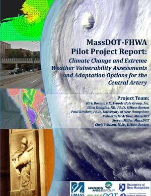
The two main objectives of this pilot project were to (1) assess the vulnerability of Boston's Central Artery/Tunnel System to sea level rise and extreme storm events, and (2) investigate and present adaptation options to reduce identified vulnerabilities.
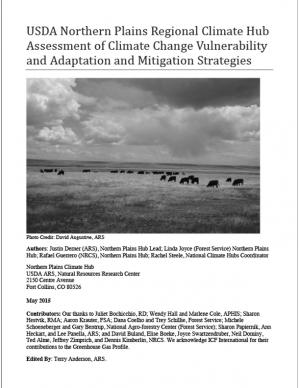
The Northern Plains has experienced increased weather variability and climatic changes throughout the 20th and early 21st centuries. This assessment presents observed changes, such as increased length of frost-free seasons, which pose risks and opportunities to agricultural production in the region. The assessment also highlights adaptation practices working land managers might consider to prepare for and respond to changes in climate by adjusting management in ways that harness benefits or reduce anticipated effect.
The State of New Hampshire has initiated a coordinated effort to proactively prepare for the effects of climate change on the natural and human resources of New Hampshire. An important aspect of this effort is to develop a vulnerability assessment of hydrologic response to climate change. The U.S. Geological Survey, in cooperation with the New Hampshire Department of Health and Human Services, is developing tools to predict how projected changes in temperature and precipitation will affect change in the hydrology of watersheds in the State. This study is a test case to assemble the information and create the tools to assess the hydrologic vulnerabilities in four specific watersheds.
The Resilient Strategies Guide for Water Utilities provides options for drinking water, wastewater, and stormwater utilities to assist them in developing plans that contain strategies that address their specific needs and priorities.
The Guide outlines the resilience planning process and helps you to identify potential strategies and promote a better understanding of resilience strategies. At the end of the Guide, you can download a report containing all of your selections and submitted information.
Western Water Assessment, in collaboration with the University of Colorado Boulder and Colorado State University, conducted a broad study of climate vulnerability for the state of Colorado. Drawing from existing data and peer-reviewed research, the study summarizes the key challenges facing seven sectors: ecosystems, water, agriculture, energy, transportation, outdoor recreation and tourism, and public health.
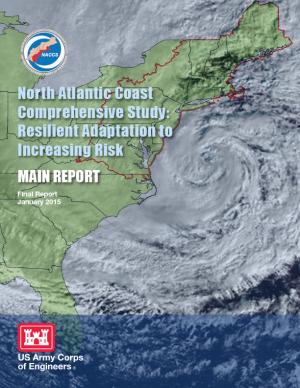
This report details the results of a two-year study to address coastal storm and flood risk to vulnerable populations, property, ecosystems, and infrastructure affected by Hurricane Sandy in the United States' North Atlantic region. The study was designed to help local communities better understand changing flood risks associated with climate change and to provide tools to help those communities better prepare for future flood risks. It builds on lessons learned from Hurricane Sandy and attempts to bring to bear the latest scientific information available for state, local, and tribal planners.
This report provides current and relevant climate adaptation information to a diverse audience of legislators, government agencies, policy makers, educators, nongovernment organizations, business, industry, researchers, other stakeholders and the public.
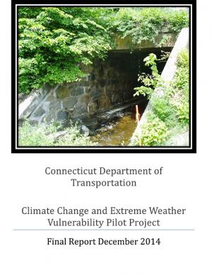
This report presents the results of a Climate Resilience Pilot Project in which the Connecticut Department of Transportation conducted a systems-level vulnerability assessment of bridge and culvert structures six feet to 20 feet in length from inland flooding associated with extreme rainfall events. The vulnerability assessment of inland flooding was conducted because in recent years extreme precipitation events have been more frequent and intense, resulting in damage to infrastructure in several locations.
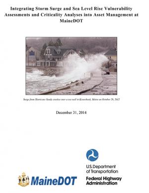
The Maine Department of Transportation study identified transportation assets that are vulnerable to flooding from sea level rise and storm surge in six coastal towns. The team developed depth-damage functions and adaptation design options at three of the sites, and evaluated the costs and benefits of the alternative design structures.
Climate change adds uncertainty to already complex global water challenges. Though no standard method has been adopted yet by the World Bank, common practice uses downscaled precipitation and temperature projections from Global Climate Models (GCMs) as input to hydrologic models. While this has been useful in some applications, they often give too wide a dispersion of readings to provide useful guidance for site-specific water resources management and infrastructure planning and design. Rather than design for an uncertain situation selected a priori, the so-called “bottom-up” approaches explore the sensitivity of a chosen project to the effects of uncertainties caused by climate change. Supported by the Water Partnership Program, this book summarizes alternatives explored by a group of organizations that belong to the Alliance for Global Water Adaptation (AGWA), to provide practitioners with the tools to adapt to the realities of climate change by following a decision-making process that incorporates bottom-up thinking.
In support of the Eugene-Springfield Multi-Jurisdictional Natural Hazards Mitigation Plan, staff from the cities of Eugene and Springfield, Oregon, with support from the Oregon Partnership for Disaster Resilience, convened meetings in 2014 with representatives from the following sectors: drinking water, health care and public education, electricity, transportation, food, housing, communication, stormwater, wastewater, natural systems, and public safety. The team met for six hours with each sector and, working from a standard list of questions, collected information about the adaptive capacity and sensitivity to specific hazards. This report includes sector summaries resulting from these interviews that reflect the conversations and thinking of the participants.
This report links climate change projections with their associated health outcomes, and identifies populations and locations most vulnerable to these health outcomes in San Francisco. The goal of the Climate and Health Profile is to support local public health climate adaptation efforts, and advance urban health and environmental justice in the climate and health field.


