Access a range of climate-related reports issued by government agencies and scientific organizations. Browse the reports listed below, or filter by scope, content, or focus in the boxes above. To expand your results, click the Clear Filters link.
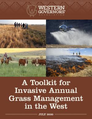
The Western Governors’ Association and the U.S. Department of Agriculture are pursuing an effort to meaningfully address the large-scale infestation of invasive annual grasses on western forests and rangelands. One product of this effort is this toolkit for land managers working to combat the spread of invasive annual grasses in the West. The toolkit is comprised of a roadmap for invasive grass management, with new best management practices; case studies highlighting the application of these practices in Idaho and Wyoming; and a new geospatial data layer (which uses analytical tools to compile existing federal data) to help state and local managers assess invasive annual grasses within their jurisdictions while also offering opportunities to identify new cross-boundary collaborative projects. The roadmap and data layer are designed for easy integration into local management plans and can be tailored by state and local managers to reflect local data, knowledge, capacities, and priorities.
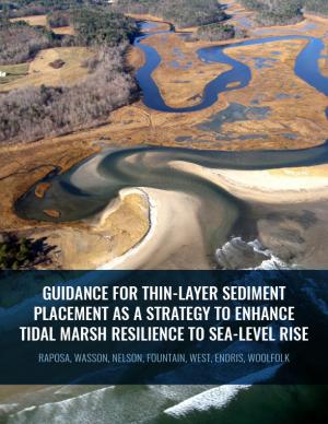
Thin-layer placement (TLP), an emergent adaptation strategy that mimics natural sediment deposition processes, is one of the only viable options to protect tidal marshes from sea level rise in their current footprint. To improve the success of thin-layer placement projects, a collaborative research team at Narragansett Bay and Elkhorn Slough led coordinated restoration experiments at eight National Estuarine Research Reserves on the U.S. East and West coasts to test TLP across diverse marsh plant communities, and produced guidance and recommendations for TLP use. This guidance document is intended to help restoration practitioners, property owners, coastal managers, and funders better understand this strategy for tidal marsh restoration and resilience in the face of sea level rise.
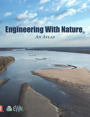
The EWN Atlas is a collection of 56 projects illustrating a diverse portfolio of contexts, motivations, and successful outcomes, presented and considered from an Engineering With Nature® perspective to reveal the usefulness of nature-based approaches and the range of benefits that can be achieved. Engineering With Nature is an initiative of the U.S. Army Corps of Engineers enabling more sustainable delivery of economic, social, and environmental benefits associated with water resources infrastructure. EWN intentionally aligns natural and engineering processes to efficiently and sustainably deliver economic, environmental, and social benefits through collaborative processes.
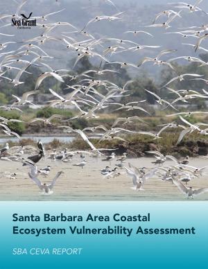
This assessment was a multidisciplinary research project that investigated future changes to southern Santa Barbara County climate, beaches, watersheds, wetland habitats, and beach ecosystems. The target audience is local land use planners and decision makers, and the main objective is to provide information that assists the cities of Santa Barbara, Carpinteria, and Goleta, the County of Santa Barbara, and UC Santa Barbara in climate adaptation planning with a clear focus on coastal ecosystems.
Green infrastructure can help to maximize the environmental, economic, and social benefits of parks. This guide from EPA encourages partnerships between park agencies and stormwater agencies to promote the use of green infrastructure on park lands to improve park lands and access to parks, better manage stormwater, increase community resiliency to shifting weather patterns, and provide funding to implement and maintain park enhancements that benefit the community. Using a stepwise approach for building relationships with potential partners, the guide includes information on how to identify and engage partners, build relationships, involve the community, leverage funding opportunities, and identify green infrastructure opportunities. It includes recommendations on the types of projects that are most likely to attract positive attention and funding and that provide a wide range of benefits. Included case studies from across the country illustrate approaches presented in the guide.
The Western Regional Action Plan was developed to increase the production, delivery, and use of climate-related information to fulfill the NOAA Fisheries mission in the region, and identifies priority needs and specific actions to implement the NOAA Fisheries Climate Science Strategy in the West over the next three to five years. The California Current Large Marine Ecosystem (CCLME) spans the entire west coast of the continental U.S. and has significant seasonal, inter-annual, and inter-decadal fluctuations in climate that impact the marine food-web and fisheries. The CCLME is highly important economically and ecologically. Commercial and recreational fisheries in the CCLME contribute significantly to the U.S. economy, and a host of fish, bird, and mammal species depend on the productive waters and lipid-rich food web of the CCLME for their annual feeding migrations. Migrant species include several million metric tons of hake and sardine from the waters off southern California, several hundred million juvenile salmon from U.S. West Coast rivers, millions of seabirds from as far as New Zealand (sooty shearwaters) and Hawaii (Laysan and black-footed albatrosses), and tens of thousands of grey whales from Baja California and humpback whales from the Eastern North Pacific. These feeding migrations allow species to load up on energy reserves as an aid to survival during their winter months in southern extremes of their distribution. Climate-related physical processes that disrupt the CCLME ecosystem may result in negative impacts to U.S. fisheries, migrant species, and the people and communities that depend on these living marine resources.
An analysis of 45 years of U.S. Forest Service records from the western U.S. show that the number of large fires on Forest Service land is increasing dramatically. The area burned by these fires is also growing at an alarming rate.
Successfully negotiating climate change challenges will require integrating a sound scientific basis for climate preparedness into local planning, resource management, infrastructure, and public health, as well as introducing new strategies to reduce greenhouse gas emissions or increase carbon sequestration into nearly every sector of California’s economy. This Research Plan presents a strategy for developing the requisite knowledge through a targeted body of policy-relevant, California-specific research over three to five years (from early 2014), and determines California’s most critical climate-related research gaps.
A five-year effort by the California Department of Water Resources, this report presents the status and trends of California's water-dependent natural resources, water supplies, and agricultural, urban, and environmental water demands for a range of plausible future scenarios. Update 2013, as it is known, is designed to work in tandem and help implement the Governor’s Water Action Plan. At more than 3,500 pages, Update 2013 covers a variety of information, from detailed descriptions of current and potential regional and statewide water conditions to a “Roadmap For Action” intended to achieve desired benefits and outcomes.
This plan—an update to the 2009 California Climate Adaptation Strategy—augments previously identified strategies in light of advances in climate science and risk management options.
As the climate changes, critical challenges face water managers, farmers, public agencies, and conservationists in the Colorado River Basin. This report by Carpe Diem West, in partnership with the Center for Natural Resources and Environmental Policy at the University of Montana, documents the concerns of some Colorado River thought leaders and their ideas about potential solutions and paths ahead.
The Sacramento-San Joaquin River Delta is the grand confluence of California’s waters, the place where the state’s largest rivers merge in a web of channels—and in a maze of controversy. In 2009, seeking an end to decades of conflict over water, the California Legislature established the Delta Stewardship Council with a mandate to resolve long-standing issues. The first step toward that resolution is the Delta Plan—a comprehensive management plan for California’s Sacramento-San Joaquin Delta, developed to guide state and local agencies to help achieve the co-equal goals of providing a more reliable water supply for California and protecting, restoring, and enhancing the delta's ecosystem.
A contribution to the 2013 National Climate Assessment, this report is a summary and synthesis of the past, present, and projected future of the Southwest region’s climate. It emphasizes new information and understandings since publication of the previous national assessment in 2009.
This strategic plan for 2012–2017 uses a science-based approach to address climate change, sustainable fisheries and ecosystem health, land-sea interactions, and existing and emerging ocean uses. For each sector, an overarching goal is articulated along with key issues to be addressed by the California Ocean Protection Council. The plan identifies objectives for making progress toward each goal, as well as actions that the council anticipates undertaking over the plan's five-year time period.
The San Francisco Bay Plan, originally adopted by the California Legislature in 1969, contains the policies that the San Francisco Bay Conservation and Development Commission (BCDC) uses to determine whether permit applications can be approved for projects within the Commission’s jurisdiction—consisting of the San Francisco Bay, salt ponds, managed wetlands, certain waterways, and land within 100 feet of the Bay. On October 6, 2011, the BCDC unanimously approved an amendment to the Plan to update the 22-year-old sea level rise findings and policies and more broadly address climate change adaptation.
A report on climate change impacts and climate change action plans for marine ecosystems on California's north-central coast. It presents scientific observations and expectations to identify potential issues related to changing climate—with an emphasis on the most likely ecological impacts and the impacts that would be most severe if they occur.

