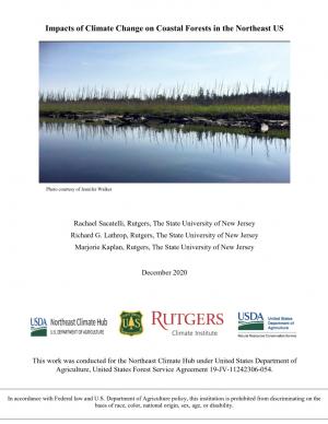
As sea levels rise along the Northeastern U.S., coastal forest ecosystems are being impacted. To better enable climate-smart decision-making, the U.S. Department of Agriculture Northeast Climate Hub engaged researchers at Rutgers University to conduct a synthesis of the current state of knowledge concerning how Northeastern U.S. coastal forests, specifically those in mid-Atlantic and southern New England states (VA, MD, DE, NJ, NY, CT, and MA), are responding to impacts from climate change. Drawing upon the scientific literature, expert interviews, and a January 2020 convening of scientists and land managers at the U.S. National Agricultural Library, Beltsville, Maryland, this synthesis identifies key knowledge gaps as well as potential management approaches.
Access a range of climate-related reports issued by government agencies and scientific organizations. Browse the reports listed below, or filter by scope, content, or focus in the boxes above. To expand your results, click the Clear Filters link.
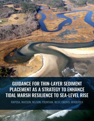
Thin-layer placement (TLP), an emergent adaptation strategy that mimics natural sediment deposition processes, is one of the only viable options to protect tidal marshes from sea level rise in their current footprint. To improve the success of thin-layer placement projects, a collaborative research team at Narragansett Bay and Elkhorn Slough led coordinated restoration experiments at eight National Estuarine Research Reserves on the U.S. East and West coasts to test TLP across diverse marsh plant communities, and produced guidance and recommendations for TLP use. This guidance document is intended to help restoration practitioners, property owners, coastal managers, and funders better understand this strategy for tidal marsh restoration and resilience in the face of sea level rise.
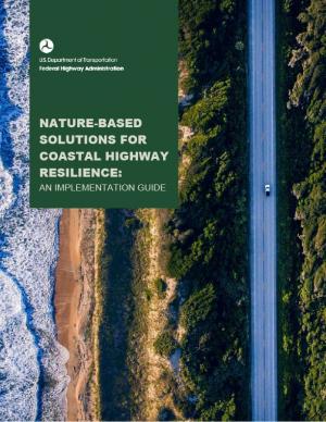
This guide is designed to help transportation practitioners understand how and where nature-based and hybrid solutions can be used to improve the resilience of coastal roads and bridges. It summarizes the potential flood-reduction benefits and co-benefits of these strategies, then follows the steps in the project delivery process, providing guidance on considering nature-based solutions in the planning process, conducting site assessments, key engineering and ecological design considerations, permitting approaches, construction considerations, and monitoring and maintenance strategies. The guide also includes appendices with site characterization tools, decision support for selecting nature-based solutions, suggested performance metrics, and links to additional tools and resources.
This report identifies eight distinct strategies cities are using to pay for large-scale climate resilience projects, mostly to address sea level rise and flooding. The analysis is based on a close look at how eight U.S. cities in seven states have been organizing the funding needed to implement their ambitious climate resilience plans. Each of these cities has had to find its own way to public and private financial resources, because there is no system in place for solving the problem of how to pay for climate resilience. Examining these cities’ pathways revealed common strategies that, while only reflecting the leading edge of urban climate resilience financing practices, quite likely foreshadow what other cities already or may do.
This report—the first phase of the Department of the Interior (DOI) assessment effort for Hurricane Sandy projects—was developed for DOI by a metrics expert group of physical and ecological scientists and socioeconomic experts who recommended performance metrics for measuring changes in resilience resulting from the DOI-sponsored projects. It identifies natural and artificial coastal features most affected by Hurricane Sandy along the Northeast coast—such as marshes, beaches, and estuaries—and recommended metrics that would indicate resilience change in those features.
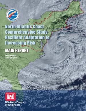
This report details the results of a two-year study to address coastal storm and flood risk to vulnerable populations, property, ecosystems, and infrastructure affected by Hurricane Sandy in the United States' North Atlantic region. The study was designed to help local communities better understand changing flood risks associated with climate change and to provide tools to help those communities better prepare for future flood risks. It builds on lessons learned from Hurricane Sandy and attempts to bring to bear the latest scientific information available for state, local, and tribal planners.
The City of Norfolk is using an integrative process of planning, preparing, mitigating, and communicating to reduce the impacts of flooding. Working with international and regional experts and residents, Norfolk is creating planning models to predict future shoreline conditions. The models will predict how local rates of sea level rise affect the construction of public buildings, shipyards, naval facilities, homes, and other private development.
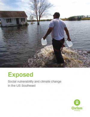
Historically, studies about climate hazards and social vulnerability have been conducted in separate silos. The Social Vulnerability Index (SoVI) is the first study of its kind to examine both the potential impact of natural hazards and which populations are most likely to be negatively affected. This research, commissioned by Oxfam America, includes a series of layered maps that depict social and climate change-related hazard vulnerability. The maps assist in identifying hotspots in the U.S. Southeast, which are at significant risk in the face of four particular climate change-related hazards: drought, flooding, hurricane force winds, and sea level rise. The specific region of focus is the 13-state region of the US Southeast: Alabama, Arkansas, Florida, Georgia, Kentucky, Louisiana, Maryland, Mississippi, North Carolina, South Carolina, Tennessee, Texas, and Virginia. Roughly 80 percent of all U.S. counties that experience persistent poverty (defined as a county in which at least 20 percent of the population experiences poverty for three decades or more) lie in this region.
The Action Plan describes climate effects on the built environment, natural systems, and human health in Virginia and sets forth a comprehensive set of recommendations for reducing greenhouse gases.

