The State Climate Summaries provided here were initially produced to meet the demand for state-level climate information in the wake of the Third U.S. National Climate Assessment. This 2022 version provides new information and extends the historical climate record to 2020 for each state. The summaries cover assessment topics directly related to NOAA’s mission, specifically historical climate variations and trends, future climate model projections of climate conditions during the 21st century, and past and future conditions of sea level and coastal flooding. Additional background information and links are given below.
Access a range of climate-related reports issued by government agencies and scientific organizations. Browse the reports listed below, or filter by scope, content, or focus in the boxes above. To expand your results, click the Clear Filters link.
Climate migration—the preemptive movement of people and property away from areas experiencing severe impacts—is one way to improve climate resilience. This report reviews federal support for climate migration, examining the use of climate migration as a resilience strategy, federal support for climate migration, key challenges to climate migration, and how the federal government can address them. A literature review and interviews with climate resilience experts was conducted, with 46 stakeholders selected and interviewed in four communities that have considered relocation: Newtok, Alaska; Santa Rosa, California; Isle de Jean Charles, Louisiana; and Smith Island, Maryland.
A case study approach to calculating the economic impact of the U.S. Climate Resilience Toolkit.
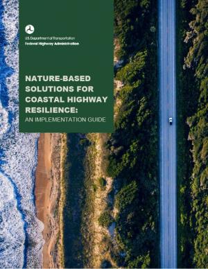
This guide is designed to help transportation practitioners understand how and where nature-based and hybrid solutions can be used to improve the resilience of coastal roads and bridges. It summarizes the potential flood-reduction benefits and co-benefits of these strategies, then follows the steps in the project delivery process, providing guidance on considering nature-based solutions in the planning process, conducting site assessments, key engineering and ecological design considerations, permitting approaches, construction considerations, and monitoring and maintenance strategies. The guide also includes appendices with site characterization tools, decision support for selecting nature-based solutions, suggested performance metrics, and links to additional tools and resources.
The EWN Atlas is a collection of 56 projects illustrating a diverse portfolio of contexts, motivations, and successful outcomes, presented and considered from an Engineering With Nature® perspective to reveal the usefulness of nature-based approaches and the range of benefits that can be achieved. Engineering With Nature is an initiative of the U.S. Army Corps of Engineers enabling more sustainable delivery of economic, social, and environmental benefits associated with water resources infrastructure. EWN intentionally aligns natural and engineering processes to efficiently and sustainably deliver economic, environmental, and social benefits through collaborative processes.
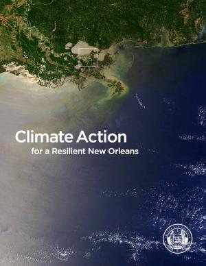
From Mayor Mitchell J. Landrieu's Introduction: As we marked the 10th anniversary of Hurricane Katrina in 2015, we launched the world’s first comprehensive city resilience strategy, Resilient New Orleans, combining local expertise with global best practices to confront our most urgent threats, adapt our city to our changing natural environment, invest in equity, create flexible and reliable systems, and prepare for future shocks.
It is not enough to plan for how we will adapt to climate change. We must end our contribution to it. As the world committed to action in Paris in 2015, so too did we. I signed the Global Covenant of Mayors on Climate & Energy, adding New Orleans to the team of more than 7,400 cities in 119 countries worldwide committed to taking climate action.
This plan sets forth the 2017 federal policy platform of the Mississippi River Cities and Towns Initiative, an association of 75 U.S. mayors along the Mississippi River. The document sets forth the mayors’ recommendation of federal programs to support and strengthen the built and natural infrastructure of the Mississippi River corridor, proposing specific funding levels and support of several federal programs. Suggestions for finance mechanisms to restore Mississippi River infrastructure are also included.
Climate change impacts ecosystems in many ways, from effects on species to phenology to wildfire dynamics. Assessing the potential vulnerability of ecosystems to future changes in climate is an important first step in prioritizing and planning for conservation. Although assessments of climate change vulnerability commonly are done for species, fewer have been done for ecosystems. To aid regional conservation planning efforts, this report assesses climate change vulnerability for ecosystems in the Southeastern United States and Caribbean.
Find out how hometowns across the United States are building their resilience to climate change. Two women who studied climate change science and policy in graduate school took a three-month road trip to find out what climate change adaptation looks like in the United States. They visited more than 30 communities preparing for climate change and documented what they learned in blogs and through media reports. This report describes six big lessons from the ongoing adaptation work they saw across the country.
This report outlines 100 recommendations to help improve federal programs and their ability to prepare for climate change, drawing from a series of workshops with leading federal, state, and local officials and building upon lessons learned post-disaster in New Orleans (following Hurricane Katrina), New York (following Hurricane Sandy), and Vermont (after Hurricane Irene). The report identifies more than 30 federal programs, initiatives, and laws that can be used to prepare for extreme events such as storms, floods, and heat waves as well as rising seas. This report informed the White House's State, Local, and Tribal Leaders Task Force on Climate Preparedness and Resilience.
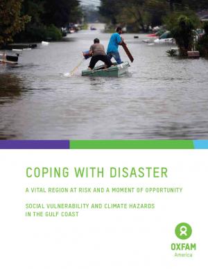
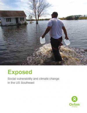
Oxfam America, in their work to shed light on the vulnerability of the geography and people of the U.S. Southeast, commissioned two reports from the Hazards and Vulnerability Research Institute at the University of South Carolina. The first one covers the entire 13-state region, while the second one contains much more detail about Louisiana and Mississippi. This document provides a brief overview of the findings, the concepts, and the methodology. The aim of these materials is to be useful tools to people in coastal communities, and to decision makers shaping policies in the region.
Historically, studies about climate hazards and social vulnerability have been conducted in separate silos. The Social Vulnerability Index (SoVI) is the first study of its kind to examine both the potential impact of natural hazards and which populations are most likely to be negatively affected. This research, commissioned by Oxfam America, includes a series of layered maps that depict social and climate change-related hazard vulnerability. The maps assist in identifying hotspots in the U.S. Southeast, which are at significant risk in the face of four particular climate change-related hazards: drought, flooding, hurricane force winds, and sea level rise. The specific region of focus is the 13-state region of the US Southeast: Alabama, Arkansas, Florida, Georgia, Kentucky, Louisiana, Maryland, Mississippi, North Carolina, South Carolina, Tennessee, Texas, and Virginia. Roughly 80 percent of all U.S. counties that experience persistent poverty (defined as a county in which at least 20 percent of the population experiences poverty for three decades or more) lie in this region.
As global temperatures increase, sea levels rise, and weather patterns change, the stewards of our nation's infrastructure are challenged to consider how these changes may affect the country's roads, airports, rail, transit systems, and ports. This study focuses on potential impacts of climate change on human infrastructure in the U.S. Gulf Coast region.

