Access a range of climate-related reports issued by government agencies and scientific organizations. Browse the reports listed below, or filter by scope, content, or focus in the boxes above. To expand your results, click the Clear Filters link.
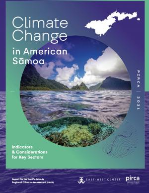
Climate change is expected to disrupt many aspects of life in American Sāmoa. Those who are already vulnerable—including children, the elderly, low-income families, and individuals with disabilities—are at greater risk from extreme weather and climate events. This report provides guidance for decision makers seeking to better understand the implications of climate variability and change for American Sāmoa and its communities and identifies the additional information and research needed to support responses that enhance resilience and help American Sāmoa to withstand the changes to come. This is one of a series of PIRCA reports aimed at assessing the state of knowledge about climate change indicators, impacts, and adaptive capacity of the U.S.-Affiliated Pacific Islands and the Hawaiian archipelago. Authors from the University of Hawai‘i and the East-West Center—along with 25 technical contributors from local governments, NGOs, researchers, and community groups—collaboratively developed the American Sāmoa report.
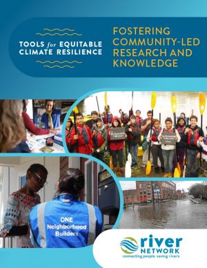
This report provides step-by-step guidance and lessons learned on how to effectively engage with community members to understand climate impacts and to develop more equitable climate resilience strategies. Community-based organizations have repeatedly emphasized that to equitably and successfully carry out climate resilience solutions, it’s imperative to directly engage with community members to deeply understand how these threats directly impact them. Likewise, to formulate solutions that are equitable and truly work—and to get utilities and city officials to prioritize equitable investments in under-invested areas—organizations must directly engage with members of the community when identifying solutions. The toolkit provides real-world case studies, a project planning and facilitation guide, and extensive lists of references and resources.
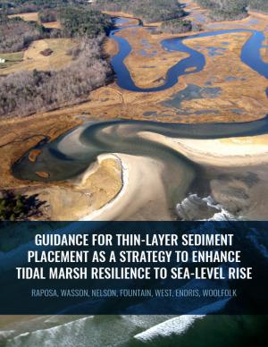
Thin-layer placement (TLP), an emergent adaptation strategy that mimics natural sediment deposition processes, is one of the only viable options to protect tidal marshes from sea level rise in their current footprint. To improve the success of thin-layer placement projects, a collaborative research team at Narragansett Bay and Elkhorn Slough led coordinated restoration experiments at eight National Estuarine Research Reserves on the U.S. East and West coasts to test TLP across diverse marsh plant communities, and produced guidance and recommendations for TLP use. This guidance document is intended to help restoration practitioners, property owners, coastal managers, and funders better understand this strategy for tidal marsh restoration and resilience in the face of sea level rise.
This report and the accompanying community spotlights provide an overview of climate change science, reasons why action is needed, how science supports decision making and planning, ways to adapt to climate change and limit the severity of its effects, and how such efforts can help build resiliency. The report illustrates the ways in which science can help individuals, communities, businesses, and government agencies make informed decisions. By working together to identify solutions and bring about positive change, we can reduce the risks faced by current and future generations.
The Central Council of the Tlingit and Haida Indian Tribes of Alaska (Tlingit & Haida) is a federally recognized Indian Tribe that serves 20 villages and communities stretching over 43,000 square miles within the Alaska Panhandle. The Tlingit and Haida membership is among the largest, most isolated, and most geographically dispersed of Native or Tribal populations nationwide. The region encompasses a 525-mile strip of coastline and interior waterways, bordered by Canada on the north, south, and east, with the Gulf of Alaska on the west.
The Central Council recognizes that wild salmon, berries, clams, herring, halibut, yellow cedar and other species important for subsistence, cash and culture are at risk. In response, they have released a 53-page climate change adaptation plan. The document is a roadmap for prioritizing, monitoring, and responding to threats stemming from warming air and ocean temperatures, caused by increasing levels of greenhouse gases trapped in the atmosphere.
The frequency and severity of disasters over the last few decades have presented unprecedented challenges for communities across the United States. This report summarizes the existing portfolio of relevant or related resilience measurement efforts and notes gaps and challenges associated with them. It describes how some communities build and measure resilience, and offers four key actions that communities could take to build and measure their resilience to address gaps identified in current community resilience measurement efforts. The report also provides recommendations to the Gulf Research Program to build and measure resilience in the Gulf of Mexico region.
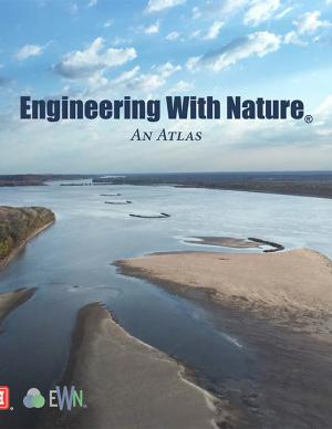
The EWN Atlas is a collection of 56 projects illustrating a diverse portfolio of contexts, motivations, and successful outcomes, presented and considered from an Engineering With Nature® perspective to reveal the usefulness of nature-based approaches and the range of benefits that can be achieved. Engineering With Nature is an initiative of the U.S. Army Corps of Engineers enabling more sustainable delivery of economic, social, and environmental benefits associated with water resources infrastructure. EWN intentionally aligns natural and engineering processes to efficiently and sustainably deliver economic, environmental, and social benefits through collaborative processes.
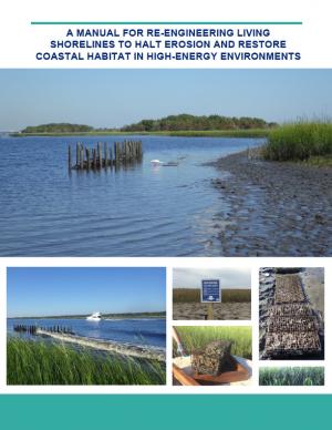
Shorelines with high boat wake and wave energy face especially rapid erosion and habitat loss. A new living shoreline design from researchers at the University of Florida and the Guana Tolomato Matanzas Reserve that uses gabion-breaks has proven successful in high-energy environments. The gabion-break design uses two lines of defense to reduce erosion along the marsh edge—porous wooden breakwalls placed in front of structures that will foster oyster growth. This manual for restoration practitioners describes a collaborative research project that tested gabion-breaks along the Atlantic Intracoastal Waterway in northeast Florida. It discusses the project’s results and details the steps to use gabion-breaks, including planning, design, maintenance, monitoring, and costs.
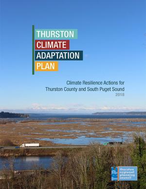
The goal of this concerted effort is to help Thurston County (Washington) and the broader South Puget Sound region prepare for and adjust to climate change. The Thurston Regional Planning Council crafted this document with a $250,000 National Estuary Program grant from the U.S. Environmental Protection Agency and significant in-kind support from the community. Partners included representatives from tribes, municipalities, universities, nonprofits, businesses, and other entities within the project area: three geographically diverse watersheds (Nisqually, Deschutes, and Kennedy-Goldsborough) within Thurston County that drain into Puget Sound. The watersheds encompass beaches, rivers, lakes, wetlands, highlands, forests, farms, ranches, cities, towns, and tribal reservations. It is the Council's hope that other communities throughout the Puget Sound region, state, and nation will replicate this project’s science-based assessments, innovative public-engagement efforts (including development of a resilience game), collaborative planning processes, economic analyses, and comprehensive actions.
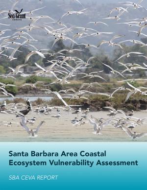
This assessment was a multidisciplinary research project that investigated future changes to southern Santa Barbara County climate, beaches, watersheds, wetland habitats, and beach ecosystems. The target audience is local land use planners and decision makers, and the main objective is to provide information that assists the cities of Santa Barbara, Carpinteria, and Goleta, the County of Santa Barbara, and UC Santa Barbara in climate adaptation planning with a clear focus on coastal ecosystems.
In the aftermath of Tropical Storms Irene and Sandy, the population centers of Greater New Haven and Bridgeport recognized significant exposure and vulnerability to their infrastructure, environment, and socioeconomic assets from extreme weather events and a changing climate. To counteract immediate and longer-term risks and broaden dialogue on community resilience building, the Southern Connecticut Regional Framework for Coastal Resilience project was launched. The overarching goal of this project was prioritizing actions and strengthening partnerships by providing proactive risk assessment, community engagement, conceptual design of on-the-ground projects, and this Final Report. The principal purpose of the project was to advance a Regional Resilience Framework—built on projects and partnerships—needed to help improve resilience for over 591,000 residents that represent over 30 percent of Connecticut’s coast. A core goal of this project was to strengthen the resilience of existing and future ecosystems, including a diverse suite of services and co-benefits, alongside existing and future development activities within a population center critical to the state of Connecticut’s future.
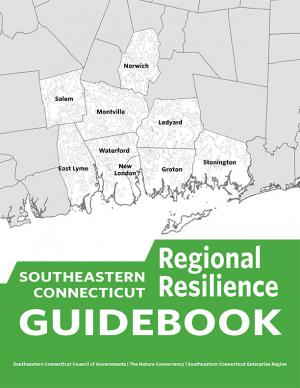
This guidebook results from the culmination of a year of dialogue among diverse stakeholders in southeastern Connecticut who defined challenges and solutions from extreme weather, climate change, and shifting social and economic conditions. Participants included representatives from nine municipalities, public and private utilities, public health departments, chambers of commerce, major employers, conservation organizations, academic institutions, community non-profits, and state agencies, among others. The dialogue captured six themed planning sectors (water, food, ecosystem services, transportation, energy, and regional economy) in a process that used surface and integrated solutions to address singular and multiple challenges across planning sectors. The guidebook provides a quick reference resource to help shape and inform actions that will advance a regional resilience framework for southeastern Connecticut; an accompanying Summary of Findings captures the project's final outcomes and conclusions, as well as providing a comprehensive account of the objectives, process, and details.
This handbook summarizes the current state of National Park Service (NPS) climate adaptation and key approaches currently in practice or considered for climate change adaptation in coastal areas in order to guide adaptation planning in coastal parks. The chapters focus on policy, planning, cultural resources, natural resources, facility management, and communication/education. The handbook highlights processes, tools, and examples that are applicable to many types of NPS plans and decisions. One chapter includes a case study of Hurricane Sandy response and recovery strategies, including changes to infrastructure. Another chapter features practical coastal infrastructure information, including cost per unit length of constructed features (including seawalls, beach nourishment, and nature-based features). The level of detail varies by topic depending on the state of research and practice in that field.
Find out how hometowns across the United States are building their resilience to climate change. Two women who studied climate change science and policy in graduate school took a three-month road trip to find out what climate change adaptation looks like in the United States. They visited more than 30 communities preparing for climate change and documented what they learned in blogs and through media reports. This report describes six big lessons from the ongoing adaptation work they saw across the country.
This report documents the effort to develop an understanding of possible impacts of climate change and potential future responses by the Towns of Acushnet and Fairhaven and the City of New Bedford, Massachusetts. It focuses specific attention on sea level rise, precipitation, and frequency or intensity of storms that may affect public infrastructure related to water quality and habitat protection.
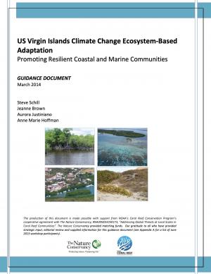
As with the rest of the world and the Caribbean region in particular, the coastal and marine communities of the US Virgin Islands (USVI) are susceptible to the effects of climate change. Hazards include increasingly hazardous coastal conditions and loss of life-sustaining marine, coastal, and island resources. Climate change is anticipated to add to the stresses of the coastal environment by altering temperature and precipitation patterns, increasing the likelihood of extreme precipitation events, and accelerating rates of sea level rise.
Responding and adapting to such changes requires an understanding of the risks; weighing options for adapting to changing conditions; and instituting a suite of strategies to implement, measure, and fund response actions having the most benefits to the ecosystems and communities that depend on those services. With support from National Oceanic and Atmospheric Administration’s (NOAA) Coral Reef Conservation Program, The Nature Conservancy’s (TNC) Caribbean Program directed a project with the objective of developing decision-support tools and conservation strategies that will advance the implementation of ecosystem-based adaptation (EBA) to climate change within the USVI.
These guidelines—which include climate change and sea level rise considerations—were developed to provide a comprehensive framework for site assessment and alternatives analysis to determine the need for shore protection and identify the technique that best suits the conditions at a given site. There are many guidelines and manuals for the design of "protection" techniques for the more typical open coast, but prior to the Marine Shoreline Design Guidelines (MSDG) there was almost no guidance that reflected the variety of conditions found in Puget Sound. For this reason, the MSDG were created to inform responsible management of Puget Sound shores for the benefit of landowners and shared natural resources.
The City of Marquette is the largest city in Michigan's Upper Peninsula and one of the most economically diverse in the state. The city is especially vulnerable to environmental, economic, and social impacts of climate change, largely because it borders Lake Superior. A team of Michigan State University Extension specialists and educators received funding from the Great Lakes Integrated Sciences and Assessments Center (GLISA) to collaborate with GLISA researchers, relevant decision makers, and stakeholders in Marquette to increase community resilience through incorporating climate variability and change adaption strategies into local land use master plans and policies. Key stakeholders in the agriculture, forestry, natural resources, health, planning, and tourism fields participated in the development of climate change concerns and strategies. Overwhelmingly, residents and local leaders wanted to protect the natural environment that makes Marquette such a desirable place to live. This report details the process and results of this community-driven process, and also contains specific, detailed GIS maps of the region that reflect the climate vulnerabilities and concerns of the residents and leaders in the Marquette region.
NOTE: This report inspired the creation of another report: "Climate and Health Adaptation Planning Guide for Michigan Communities"
The Sacramento-San Joaquin River Delta is the grand confluence of California’s waters, the place where the state’s largest rivers merge in a web of channels—and in a maze of controversy. In 2009, seeking an end to decades of conflict over water, the California Legislature established the Delta Stewardship Council with a mandate to resolve long-standing issues. The first step toward that resolution is the Delta Plan—a comprehensive management plan for California’s Sacramento-San Joaquin Delta, developed to guide state and local agencies to help achieve the co-equal goals of providing a more reliable water supply for California and protecting, restoring, and enhancing the delta's ecosystem.
PlaNYC is a long-term sustainability plan based on the latest climate science. This report includes ideas on how to rebuild the communities in New York City affected by Hurricane Sandy in 2012 and how to increase resilience and infrastructure of buildings city-wide in order to protect against future extreme events.
A report on climate change impacts and climate change action plans for marine ecosystems on California's north-central coast. It presents scientific observations and expectations to identify potential issues related to changing climate—with an emphasis on the most likely ecological impacts and the impacts that would be most severe if they occur.
In determining appropriate adaptation strategies, project staff worked with participants to survey a wide range of potential strategy options and develop a process for evaluation and prioritization of targeted strategies.
King County in Washington State has established a comprehensive program to prepare for climate change, and many of the tools and strategies that King County has employed can be applied in other communities. This memorandum from the King County Office of Strategic Planning and Performance Management, published by the American Planning Association, describes strategies developed in King County to direct local government efforts to address climate change.

