Access a range of climate-related reports issued by government agencies and scientific organizations. Browse the reports listed below, or filter by scope, content, or focus in the boxes above. To expand your results, click the Clear Filters link.
The State Climate Summaries provided here were initially produced to meet the demand for state-level climate information in the wake of the Third U.S. National Climate Assessment. This 2022 version provides new information and extends the historical climate record to 2020 for each state. The summaries cover assessment topics directly related to NOAA’s mission, specifically historical climate variations and trends, future climate model projections of climate conditions during the 21st century, and past and future conditions of sea level and coastal flooding. Additional background information and links are given below.
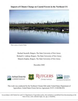
As sea levels rise along the Northeastern U.S., coastal forest ecosystems are being impacted. To better enable climate-smart decision-making, the U.S. Department of Agriculture Northeast Climate Hub engaged researchers at Rutgers University to conduct a synthesis of the current state of knowledge concerning how Northeastern U.S. coastal forests, specifically those in mid-Atlantic and southern New England states (VA, MD, DE, NJ, NY, CT, and MA), are responding to impacts from climate change. Drawing upon the scientific literature, expert interviews, and a January 2020 convening of scientists and land managers at the U.S. National Agricultural Library, Beltsville, Maryland, this synthesis identifies key knowledge gaps as well as potential management approaches.
Delaware is especially vulnerable to the effects of sea level rise (SLR) due to its flat topography, low mean elevation, and significant community development and infrastructure investments along the coast. Rates of relative SLR measured at tide gauges in and around Delaware are approximately twice the rate of global mean SLR. This report provides critical information on future sea level rise for Delaware's decision makers: it can help readers gain a comprehensive understanding of risk and the likelihood of worsening coastal flooding. In addition to the report, the Delaware Geological Survey worked with others to release an updated series of coastal inundation maps that depict the extent of potential inundation from current average high tide (MHHW level) to seven feet above in one-foot increments. These maps can be used as a planning tool for understanding potential future effects of sea level rise or storm surge.


