Access a range of climate-related reports issued by government agencies and scientific organizations. Browse the reports listed below, or filter by scope, content, or focus in the boxes above. To expand your results, click the Clear Filters link.
The State Climate Summaries provided here were initially produced to meet the demand for state-level climate information in the wake of the Third U.S. National Climate Assessment. This 2022 version provides new information and extends the historical climate record to 2020 for each state. The summaries cover assessment topics directly related to NOAA’s mission, specifically historical climate variations and trends, future climate model projections of climate conditions during the 21st century, and past and future conditions of sea level and coastal flooding. Additional background information and links are given below.
As sea levels rise along the Northeastern U.S., coastal forest ecosystems are being impacted. To better enable climate-smart decision-making, the U.S. Department of Agriculture Northeast Climate Hub engaged researchers at Rutgers University to conduct a synthesis of the current state of knowledge concerning how Northeastern U.S. coastal forests, specifically those in mid-Atlantic and southern New England states (VA, MD, DE, NJ, NY, CT, and MA), are responding to impacts from climate change. Drawing upon the scientific literature, expert interviews, and a January 2020 convening of scientists and land managers at the U.S. National Agricultural Library, Beltsville, Maryland, this synthesis identifies key knowledge gaps as well as potential management approaches.
This guide is designed to help transportation practitioners understand how and where nature-based and hybrid solutions can be used to improve the resilience of coastal roads and bridges. It summarizes the potential flood-reduction benefits and co-benefits of these strategies, then follows the steps in the project delivery process, providing guidance on considering nature-based solutions in the planning process, conducting site assessments, key engineering and ecological design considerations, permitting approaches, construction considerations, and monitoring and maintenance strategies. The guide also includes appendices with site characterization tools, decision support for selecting nature-based solutions, suggested performance metrics, and links to additional tools and resources.
In the aftermath of Tropical Storms Irene and Sandy, the population centers of Greater New Haven and Bridgeport recognized significant exposure and vulnerability to their infrastructure, environment, and socioeconomic assets from extreme weather events and a changing climate. To counteract immediate and longer-term risks and broaden dialogue on community resilience building, the Southern Connecticut Regional Framework for Coastal Resilience project was launched. The overarching goal of this project was prioritizing actions and strengthening partnerships by providing proactive risk assessment, community engagement, conceptual design of on-the-ground projects, and this Final Report. The principal purpose of the project was to advance a Regional Resilience Framework—built on projects and partnerships—needed to help improve resilience for over 591,000 residents that represent over 30 percent of Connecticut’s coast. A core goal of this project was to strengthen the resilience of existing and future ecosystems, including a diverse suite of services and co-benefits, alongside existing and future development activities within a population center critical to the state of Connecticut’s future.
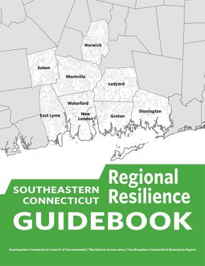
This guidebook results from the culmination of a year of dialogue among diverse stakeholders in southeastern Connecticut who defined challenges and solutions from extreme weather, climate change, and shifting social and economic conditions. Participants included representatives from nine municipalities, public and private utilities, public health departments, chambers of commerce, major employers, conservation organizations, academic institutions, community non-profits, and state agencies, among others. The dialogue captured six themed planning sectors (water, food, ecosystem services, transportation, energy, and regional economy) in a process that used surface and integrated solutions to address singular and multiple challenges across planning sectors. The guidebook provides a quick reference resource to help shape and inform actions that will advance a regional resilience framework for southeastern Connecticut; an accompanying Summary of Findings captures the project's final outcomes and conclusions, as well as providing a comprehensive account of the objectives, process, and details.
The Northeast Regional Action Plan was developed to increase the production, delivery, and use of climate-related information to fulfill the NOAA Fisheries mission in the region, and identifies priority needs and specific actions to implement the NOAA Fisheries Climate Science Strategy in the Northeast over the next three to five years. The U.S. Northeast Shelf Large Marine Ecosystem supports a number of economically important fisheries and a wide variety of other important marine and coastal species, from river herring to marine mammals and sea turtles. The region has experienced rising ocean temperatures over the past several decades, along with shifts in the distribution of many fish stocks poleward or deeper. Other expected climate-related changes include sea level rise, decreasing pH (acidification), and changing circulation patterns that could impact marine resources, their habitats, and the people, businesses, and communities that depend on them.
On Earth Day 2015, Connecticut Governor Malloy issued Executive Order 46 creating the Governor’s Council on Climate Change, also known as the GC3. The Council is to examine the effectiveness of existing policies and regulations designed to reduce greenhouse gas emissions and identify new strategies to meet the state’s greenhouse gas emissions reduction target of 80 percent below 2001 levels by 2050. It will do so, in part, by developing interim state-wide greenhouse gas reduction targets for years between 2020 and 2050 and by identifying short- and long-term statewide strategies to achieve the necessary reductions.
Many climate-related hydrologic variables in New England have changed in the past century, and many are expected to change during the next century. It is important to understand and monitor these changes because they can affect human water supply, hydroelectric power generation, transportation infrastructure, and stream and riparian ecology. This report describes a framework for hydrologic monitoring in New England by means of a climate-response network.
This report—the first phase of the Department of the Interior (DOI) assessment effort for Hurricane Sandy projects—was developed for DOI by a metrics expert group of physical and ecological scientists and socioeconomic experts who recommended performance metrics for measuring changes in resilience resulting from the DOI-sponsored projects. It identifies natural and artificial coastal features most affected by Hurricane Sandy along the Northeast coast—such as marshes, beaches, and estuaries—and recommended metrics that would indicate resilience change in those features.
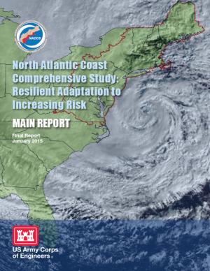
This report details the results of a two-year study to address coastal storm and flood risk to vulnerable populations, property, ecosystems, and infrastructure affected by Hurricane Sandy in the United States' North Atlantic region. The study was designed to help local communities better understand changing flood risks associated with climate change and to provide tools to help those communities better prepare for future flood risks. It builds on lessons learned from Hurricane Sandy and attempts to bring to bear the latest scientific information available for state, local, and tribal planners.
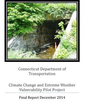
This report presents the results of a Climate Resilience Pilot Project in which the Connecticut Department of Transportation conducted a systems-level vulnerability assessment of bridge and culvert structures six feet to 20 feet in length from inland flooding associated with extreme rainfall events. The vulnerability assessment of inland flooding was conducted because in recent years extreme precipitation events have been more frequent and intense, resulting in damage to infrastructure in several locations.
The report highlights the state’s achievement of returning to 1990 emissions levels by 2010. Additionally, Connecticut is likely to meet its goal of acheiving emissions levels 10 percent below 1990 levels before 2020. The report also presents the state’s climate adaptation and resiliency work.
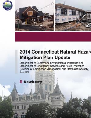
This update serves as guidance for hazard mitigation for the State of Connecticut. Its vision is supported by three central goals, each with an objective, a set of strategies, and associated actions for Connecticut state government, stakeholders, and organizations that will reduce or prevent injury from natural hazards to people, property, infrastructure, and critical state facilities.
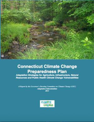
This report offers an evaluation of the projected impacts of climate change on Connecticut agriculture, infrastructure, natural resources, and public health, and recommends strategies to mitigate those impacts.
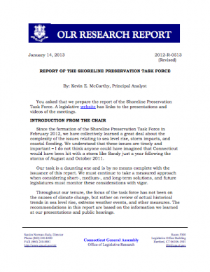
This report is the result of almost a year of studying the effects of sea level rise, coastal flooding, and extreme weather events on Connecticut's shoreline communities. It provides suggestions for coastal resiliency, as well as prevention measures that could reduce the impact of future storms.

