Access a range of climate-related reports issued by government agencies and scientific organizations. Browse the reports listed below, or filter by scope, content, or focus in the boxes above. To expand your results, click the Clear Filters link.
The State Climate Summaries provided here were initially produced to meet the demand for state-level climate information in the wake of the Third U.S. National Climate Assessment. This 2022 version provides new information and extends the historical climate record to 2020 for each state. The summaries cover assessment topics directly related to NOAA’s mission, specifically historical climate variations and trends, future climate model projections of climate conditions during the 21st century, and past and future conditions of sea level and coastal flooding. Additional background information and links are given below.
As sea levels rise along the Northeastern U.S., coastal forest ecosystems are being impacted. To better enable climate-smart decision-making, the U.S. Department of Agriculture Northeast Climate Hub engaged researchers at Rutgers University to conduct a synthesis of the current state of knowledge concerning how Northeastern U.S. coastal forests, specifically those in mid-Atlantic and southern New England states (VA, MD, DE, NJ, NY, CT, and MA), are responding to impacts from climate change. Drawing upon the scientific literature, expert interviews, and a January 2020 convening of scientists and land managers at the U.S. National Agricultural Library, Beltsville, Maryland, this synthesis identifies key knowledge gaps as well as potential management approaches.
This report—the first phase of the Department of the Interior (DOI) assessment effort for Hurricane Sandy projects—was developed for DOI by a metrics expert group of physical and ecological scientists and socioeconomic experts who recommended performance metrics for measuring changes in resilience resulting from the DOI-sponsored projects. It identifies natural and artificial coastal features most affected by Hurricane Sandy along the Northeast coast—such as marshes, beaches, and estuaries—and recommended metrics that would indicate resilience change in those features.
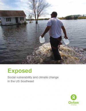
Historically, studies about climate hazards and social vulnerability have been conducted in separate silos. The Social Vulnerability Index (SoVI) is the first study of its kind to examine both the potential impact of natural hazards and which populations are most likely to be negatively affected. This research, commissioned by Oxfam America, includes a series of layered maps that depict social and climate change-related hazard vulnerability. The maps assist in identifying hotspots in the U.S. Southeast, which are at significant risk in the face of four particular climate change-related hazards: drought, flooding, hurricane force winds, and sea level rise. The specific region of focus is the 13-state region of the US Southeast: Alabama, Arkansas, Florida, Georgia, Kentucky, Louisiana, Maryland, Mississippi, North Carolina, South Carolina, Tennessee, Texas, and Virginia. Roughly 80 percent of all U.S. counties that experience persistent poverty (defined as a county in which at least 20 percent of the population experiences poverty for three decades or more) lie in this region.


