Access a range of climate-related reports issued by government agencies and scientific organizations. Browse the reports listed below, or filter by scope, content, or focus in the boxes above. To expand your results, click the Clear Filters link.
Georgetown Climate Center (GCC) prepared this report to help the Eastern Shore Climate Adaptation Partnership (ESCAP) identify strategies for adapting to increasing sea level rise and flood risk in the Eastern Shore region of Maryland. ESCAP worked with the Eastern Shore Regional GIS cooperative to assess sea level rise vulnerabilities in the six counties and two municipalities that participate in ESCAP. GCC and the University of Maryland Environmental Finance Center helped to identify potential legal and policy options for enhancing flood resilience in Eastern Shore communities. This report summarizes how more rural jurisdictions, like those on the Eastern Shore, can enhance flood resilience by updating local land use ordinances and floodplain regulations and by pursuing other non-regulatory options, including acquiring flood-prone properties, preserving open space in the floodplain, and coordinating regionally on public outreach and education programs.
This guidebook was designed to support tribes’ efforts to proactively adapt to climate change and thrive for generations to come, building on the ongoing climate-related work in tribal communities. It provides a framework for climate change adaptation planning in the context of existing tribal priorities, and directly considers the unique issues facing indigenous communities. Specifically, the Guidebook directs readers to the foundation of existing resources and tribal adaptation efforts and identifies opportunities for braiding together traditional knowledges and western science in developing adaptation plans. The framework outlined in the guidebook will be useful for tribes in different phases of climate adaptation planning efforts, and supports learning from the experiences, approaches, and lessons of tribes working to become more resilient to climate change.
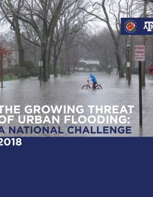
This report offers the first national assessment of the scope and consequences of urban flooding in the United States. Researchers analyzed available data concerning urban flooding, surveyed municipal flood and stormwater managers, and met with professionals whose disciplines intersect with urban flooding at the local, state, and national level. The research team's findings affirm that urban flooding is a national and significant source of economic loss, social disruption, and housing inequality. This report presents the full results of the study, addresses governance issues that affect urban flood risk reduction, examines critical challenges, and offers recommendations for actions.
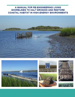
Shorelines with high boat wake and wave energy face especially rapid erosion and habitat loss. A new living shoreline design from researchers at the University of Florida and the Guana Tolomato Matanzas Reserve that uses gabion-breaks has proven successful in high-energy environments. The gabion-break design uses two lines of defense to reduce erosion along the marsh edge—porous wooden breakwalls placed in front of structures that will foster oyster growth. This manual for restoration practitioners describes a collaborative research project that tested gabion-breaks along the Atlantic Intracoastal Waterway in northeast Florida. It discusses the project’s results and details the steps to use gabion-breaks, including planning, design, maintenance, monitoring, and costs.
This report analyzes the resilience of Toronto's food sector to climate change through seven food system sectors and five critical, supporting parts of the city's infrastructure. It also explores existing emergency response plans and the role of the private sector in building the city's food resilience.
The goal of this concerted effort is to help Thurston County (Washington) and the broader South Puget Sound region prepare for and adjust to climate change. The Thurston Regional Planning Council crafted this document with a $250,000 National Estuary Program grant from the U.S. Environmental Protection Agency and significant in-kind support from the community. Partners included representatives from tribes, municipalities, universities, nonprofits, businesses, and other entities within the project area: three geographically diverse watersheds (Nisqually, Deschutes, and Kennedy-Goldsborough) within Thurston County that drain into Puget Sound. The watersheds encompass beaches, rivers, lakes, wetlands, highlands, forests, farms, ranches, cities, towns, and tribal reservations. It is the Council's hope that other communities throughout the Puget Sound region, state, and nation will replicate this project’s science-based assessments, innovative public-engagement efforts (including development of a resilience game), collaborative planning processes, economic analyses, and comprehensive actions.
This report acknowledges that climate adaptation has begun to emerge as a field of practice, but states that the work is not evolving quickly or deliberately enough for communities to adequately prepare for the dangerous shocks and stresses that increasingly will be introduced by climate change. The report assesses the current state of the climate adaptation field, provides a vision of what a mature, effective field would look like, and recommends steps that should be taken to realize that vision.
The city of Cambridge, Massachusetts, is developing a Climate Change Preparedness and Resilience Plan as a practical guide to implement specific strategies in response to climate change threats (heat, flooding from precipitation, flooding from sea level rise and storm surge). The Alewife Preparedness Plan—the first neighborhood plan to be developed—will test how the proposed strategies might create a new framework for resiliency in Alewife. It comprises two parts: a Report and a Handbook. The Report provides the context, framework, and strategies to create a prepared and resilient Alewife neighborhood; the Handbook, a companion document, is a practical compendium of specific preparedness and resiliency strategies and best practices.
A coalition of 26 businesses, environmental organizations, community groups, and universities in the Detroit area has produced the “Detroit Climate Action Plan.” The proposition intends to address public health and environmental justice issues through a plan that individuals and businesses can practice. The 77-page report contains 20 major goals for the coming years, including calls for the reduction of greenhouse gas emissions by Detroit businesses by 10 percent in the next 5 years, and 80 percent by 2050. Additionally, the plan recommends improvements to the energy efficiency and durability of homes, better stormwater runoff management, expanded use of renewable energy, and broadened recycling and organic waste collection by 2022.
This report (avialable here) describes a conceptual model of climate resilience, codified as an index. The Climate Resilience Screening Index (CRSI) is designed to be sensitive to changes in the natural environment, built environment, governance, and social structure and vulnerability or risk to climate events. CRSI has been used to develop an index score for climate resilience at the county level (scalable both upward and downward spatially). The index represents both the vulnerability of the entity to multiple climate events and the potential recoverability of these entities from climate events.
The approach uses five domains and 20 indicators related to the domains. CRSI characterizes holistic climate resilience throughout the US at the county level (2000-2015); ascertains the relationships among those domains and indicators; and, provide information regarding how that resilience score is constructed and the actions a community/county can take to improve their climate resilience.
This assessment was a multidisciplinary research project that investigated future changes to southern Santa Barbara County climate, beaches, watersheds, wetland habitats, and beach ecosystems. The target audience is local land use planners and decision makers, and the main objective is to provide information that assists the cities of Santa Barbara, Carpinteria, and Goleta, the County of Santa Barbara, and UC Santa Barbara in climate adaptation planning with a clear focus on coastal ecosystems.
From Mayor Mitchell J. Landrieu's Introduction: As we marked the 10th anniversary of Hurricane Katrina in 2015, we launched the world’s first comprehensive city resilience strategy, Resilient New Orleans, combining local expertise with global best practices to confront our most urgent threats, adapt our city to our changing natural environment, invest in equity, create flexible and reliable systems, and prepare for future shocks.
It is not enough to plan for how we will adapt to climate change. We must end our contribution to it. As the world committed to action in Paris in 2015, so too did we. I signed the Global Covenant of Mayors on Climate & Energy, adding New Orleans to the team of more than 7,400 cities in 119 countries worldwide committed to taking climate action.
The Nags Head Comprehensive Plan is an official policy document adopted by the Town of Nags Head to strategically plan for and enhance the quality of life and physical character of the community. The plan, while not regulatory in nature, builds upon adopted plans and policies to provide a foundation for decision making, future regulations, and project development. Further, the plan was created utilizing community input to illustrate a vision for the future of Nags Head and define steps to secure that future.
In the aftermath of Tropical Storms Irene and Sandy, the population centers of Greater New Haven and Bridgeport recognized significant exposure and vulnerability to their infrastructure, environment, and socioeconomic assets from extreme weather events and a changing climate. To counteract immediate and longer-term risks and broaden dialogue on community resilience building, the Southern Connecticut Regional Framework for Coastal Resilience project was launched. The overarching goal of this project was prioritizing actions and strengthening partnerships by providing proactive risk assessment, community engagement, conceptual design of on-the-ground projects, and this Final Report. The principal purpose of the project was to advance a Regional Resilience Framework—built on projects and partnerships—needed to help improve resilience for over 591,000 residents that represent over 30 percent of Connecticut’s coast. A core goal of this project was to strengthen the resilience of existing and future ecosystems, including a diverse suite of services and co-benefits, alongside existing and future development activities within a population center critical to the state of Connecticut’s future.
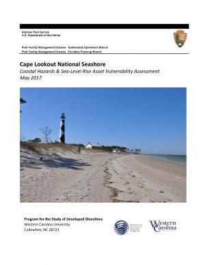
The protocol developed and used in this report is unique in that it is an asset-level assessment of the vulnerability of infrastructure to multiple coastal hazards and climate change factors (e.g., erosion, flooding, storm surge, sea-level rise, and historical flooding) over a 35-year planning horizon (2050). The protocol was applied to all buildings and roads in Cape Lookout National Seashore; the results are summarized in the report.
The Tampa Bay region is known as one of the most vulnerable in the world to wind damage, coastal flooding from storm surge, and rising sea levels. The City of St. Petersburg—with over 60 miles of coastal frontage—has already felt the impacts of storms. The adverse effects from these types of environmental events often impact low-income communities the hardest, as they have the most difficulty bouncing back from stresses and shocks. The City of St. Petersburg is committed to ensuring that investments in making the city resilient are equitable and create a range of opportunities that everyone can benefit from. The Urban Land Institute of Tampa Bay convened top experts in climate resilience from New Orleans, Miami, Boston, and the Tampa Bay region to provide technical assistance to the city on creating an equitable culture of resilience. A grant from the ULI Foundation and Kresge Foundation funded this effort.
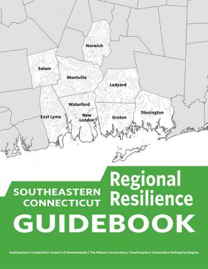
This guidebook results from the culmination of a year of dialogue among diverse stakeholders in southeastern Connecticut who defined challenges and solutions from extreme weather, climate change, and shifting social and economic conditions. Participants included representatives from nine municipalities, public and private utilities, public health departments, chambers of commerce, major employers, conservation organizations, academic institutions, community non-profits, and state agencies, among others. The dialogue captured six themed planning sectors (water, food, ecosystem services, transportation, energy, and regional economy) in a process that used surface and integrated solutions to address singular and multiple challenges across planning sectors. The guidebook provides a quick reference resource to help shape and inform actions that will advance a regional resilience framework for southeastern Connecticut; an accompanying Summary of Findings captures the project's final outcomes and conclusions, as well as providing a comprehensive account of the objectives, process, and details.
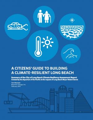
This user-friendly summary is based on the 2015 report “City of Long Beach Climate Resiliency Assessment Report" and “Appendices” prepared by the Aquarium of the Pacific at the request of Mayor Robert Garcia. The report includes clear infographics that describe current and projected conditions in the city. It also describe what the city is currently doing and what else the city and its residents can do.
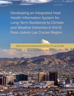
This report summarizes findings from a workshop held in El Paso, Texas, on July 13, 2016. The El Paso-Juárez-Las Cruces region is home to approximately 2.4 million people, most of whom are living in or near the urban centers of Ciudad Juárez (Chihuahua), El Paso, and Las Cruces (New Mexico). These cities share characteristics, such as a high proportion of residents of Hispanic origin, median income below the U.S. national average, and a range of climate-related environmental issues that include drought, flooding, air pollution, dust storms, and frequent occurrences of extremely high temperatures during the late spring and early summer. With hotter temperatures and more frequent and persistent heat waves projected for the El Paso-Juárez-Las Cruces region, it is critical to develop more robust systems of institutions, social learning, and partnerships to understand risks and strengthen public health resilience.
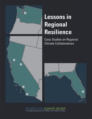
This report is part of a series of six case studies that explore lessons that are being learned by climate collaboratives from around the United States that are bringing together local governments and other stakeholders at the regional level to both reduce carbon pollution (mitigation) and prepare for the impacts of climate change (adaptation). Each case study explores the history and development structure and decision-making methods, funding sources, roles, and initiatives of each of these climate collaboratives. A synthesis report also explores lessons that can be learned by comparing the efforts of each collaborative on climate policy in their regions. These case studies were supported by a grant from the Kresge Foundation. In developing these case studies, the Georgetown Climate Center collaborated with the Alliance of Regional Collaboratives for Climate Adaptation (ARCCA).
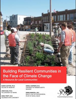
The National Health Security Strategy of the United States calls on people and their communities to prepare for the threats to health that come with disasters and emergencies, to be ready to protect themselves, and to remain resilient in the face of such threats. The strategy defines resilience as “the sustained ability of communities to withstand, adapt to, and recover from adversity.” How can communities best incorporate resilience into their approaches and practices, especially in light of the potential consequences of climate change? This resource—prepared especially for community-based groups—provides information from the fields of psychology and other social sciences to help communities better understand and prepare for the adverse effects of climate change
Climate Ready Boston is an ongoing initiative to help the people and city of Boston to plan for the future impacts of climate change and develop resilient solutions. Boston Mayor Martin J. Walsh describes the challenge and the city's commitment in the report's introduction: "Climate change poses a greater threat to some Bostonians. The very young and very old, people who do not speak English, and those with low incomes or medical illnesses or disabilities are all at elevated risk. By ensuring that our solutions are built together with those communities and in response to their needs, climate action will help us build a more equitable city. Furthermore, because climate change knows no borders, we will work with neighboring municipalities to address the regional impacts we face together." The Climate Ready Boston website offers proposed solutions and information specific to a range of locales. It also offers a presentation and report on Climate Change and Sea Level Rise Projections for Boston.
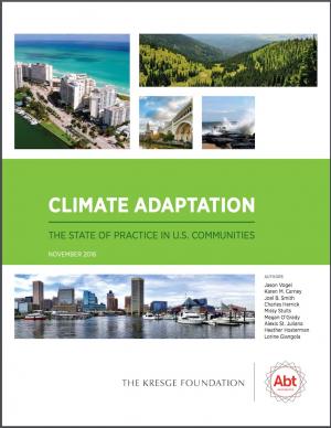
This report examines efforts to develop and implement climate-adaptation projects in 17 cities across the United States. It also presents interviews and insights from Thought Leaders in the field of climate adaptation.
The study analyzed efforts underway, motivations for action, and how communities went from planning to implementation. The report provides insights into the practice of climate change adaptation, including suggestions for supporting community-based champions who are working to reduce their communities’ vulnerability to climate change impacts.
Climate Ready DC is the District’s strategy to make the city more resilient to future climate change. It is based on the best available climate science and was developed through consultation with leading experts within and outside of the District government.
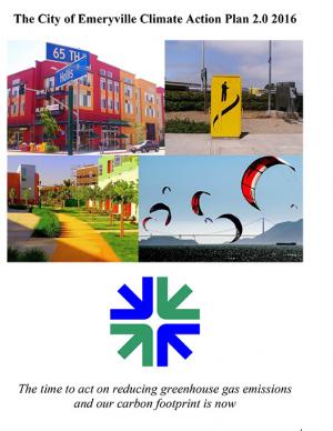
Emeryville is the first city in California's Bay Area to update its Climate Action Plan and align its greenhouse gas (GHG) emissions targets with the State of California’s climate targets. This Climate Action Plan 2.0 includes updates to Emeryville’s 2008 Climate Action Plan, looking towards state targets for reducing 40 percent below baseline levels of GHG emissions by 2030 and 80 percent below baseline levels by 2050. The CAP 2.0 meets the compliance for the Global Covenant of Mayors, a platform for standardizing climate change action planning for local city governments and demonstrating local commitment to climate change mitigation and adaptation. The plan contains GHG targets, updated GHG community and municipal inventories, business-as-usual GHG forecast, deep decarbonization vision for 2050, adaptation and mitigation action plans, and a monitoring plan. With 17 mitigation goals, five adaptation goals, over 100 combined initiatives for 2030, and five long-term strategies for 2050, this CAP 2.0 represents a strong step in reducing emissions and building climate resilience.
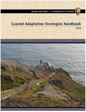
This handbook summarizes the current state of National Park Service (NPS) climate adaptation and key approaches currently in practice or considered for climate change adaptation in coastal areas in order to guide adaptation planning in coastal parks. The chapters focus on policy, planning, cultural resources, natural resources, facility management, and communication/education. The handbook highlights processes, tools, and examples that are applicable to many types of NPS plans and decisions. One chapter includes a case study of Hurricane Sandy response and recovery strategies, including changes to infrastructure. Another chapter features practical coastal infrastructure information, including cost per unit length of constructed features (including seawalls, beach nourishment, and nature-based features). The level of detail varies by topic depending on the state of research and practice in that field.
With insight from 26 campus and stakeholder advisors, the support of the USDA Agricultural Marketing Service’s Transportation Division, and input from regional food supply chain businesses throughout the region, this 68-page report details the process used to assess the Chicago region food system and findings through the three-year participatory research effort. It includes eleven sections with 17 figures to illustrate key concepts, along with extensive supporting materials. The report presents three innovations with proofs of concept that could be applied widely in the region and beyond to improve food distribution, both in rural and urban regions.
Blacksburg's Climate Action Plan represents both a short- and long-term set of strategies to pursue to reach the community’s energy and climate action goals. The long-range goal, established by Town Council in 2007, is to reduce community-wide greenhouse gas emissions by 80 percent below 1990 levels by 2050. Blacksburg’s Climate Action Plan is divided into six chapters covering the major sectors of the community responsible for Blacksburg’s greenhouse gas emissions. Citizens' priority strategies are reflected in each of the sector chapters in three ways: a set of “Individual Actions” that citizens can choose to adopt in their own lives, shorter time-horizon “Let’s Get Started” strategies, and longer-term “Looking Ahead” strategies.
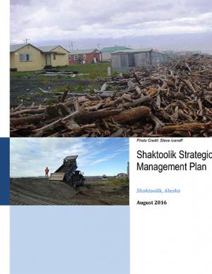
Shaktoolik, a community on the eastern edge of Norton Sound in Alaska, faces considerable threats from erosion and flooding. The community decided to take a “defend in place” approach to erosion, allowing residents to remain at the current village site for the immediate future, although residents have indicated that they are interested in eventually relocating. This Strategic Management Plan provides the “blueprint” or framework for how the community and agencies will proceed to make Shaktoolik a more resilient community and to support their “defend in place” efforts.
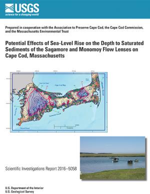
In 2014, the U.S. Geological Survey, in cooperation with the Association to Preserve Cape Cod, the Cape Cod Commission, and the Massachusetts Environmental Trust, began an evaluation of the potential effects of sea-level rise on water table altitudes and depths to water on central and western Cape Cod, Massachusetts. Researchers found that the potential does exist for groundwater inundation in some areas, but the effects of sea-level rise on depths to water and infrastructure likely will not be substantial on a regional level.
This guide (NIST Special Publication 1190) outlines a practical six-step planning process to help communities establish affordable priorities and allocate resources to improve their resilience. With the guide, community leaders can incorporate resilience-driven, short- and long-term goals into their exising plans in order to preserve and enhance economic competitiveness.
The State of Maine is experiencing shifts in atmospheric and oceanographic conditions that put it at the precipice of abrupt climate change. This report—part of the Department of Homeland Security's Regional Resiliency Assessment Program (RRAP)—focuses on the local and regional consequences of climate disruptions and their impacts on critical infrastructure in the Casco Bay region, the most developed and populous region in Maine. The report identifies vulnerabilities that may potentially affect the region’s ability to maintain its critical infrastructure systems and recover from the impacts of climate change.
With the goal of creating a cleaner San Diego for future generations, the City of San Diego’s Climate Action Plan calls for eliminating half of all greenhouse gas emissions in the City and aims for all electricity used in the city to be from renewable sources by 2035. The Climate Action Plan is a package of policies that will benefit San Diego’s environment and economy. It will help create new jobs in the renewable energy industry, improve public health and air quality, conserve water, more efficiently use existing resources, increase clean energy production, improve quality of life, and save taxpayer money. The plan identifies steps the City of San Diego can take to achieve the 2035 targets, including creating a renewable energy program, implementing a zero waste plan, and changing policy to have a majority of the City’s fleet be electric vehicles. The Climate Action Plan helps achieve the greenhouse gas reduction targets set forth by the State of California. The City’s first Climate Action Plan was approved in 2005 and a commitment to update the plan was included in the City’s 2008 General Plan update.
In January 2015, Long Beach Mayor Robert Garcia asked the Aquarium of the Pacific to take a lead in assessing the primary threats that climate change poses to Long Beach, to identify the most vulnerable neighborhoods and segments of the population, and to identify and provide a preliminary assessment of options to reduce those vulnerabilities. Over the course of 2015, the Aquarium hosted and participated in meetings and workshops with academic and government scientists, business and government leaders, local stakeholders, and Long Beach residents to discuss key issues facing our community as the result of climate change. This report, completed in December 2015, represents the culmination of these efforts. The report offers detailed assessments of the five main threats of climate change to Long Beach: drought, extreme heat, sea level rise and coastal flooding, deteriorating air quality, and public health and social vulnerability. It also provides an overview of what is currently being done to mitigate and adapt to these threats, and other options to consider. Finally, this report presents a series of steps and actions that city leaders and community stakeholders can use as a template for making Long Beach a model of a climate resilient city.
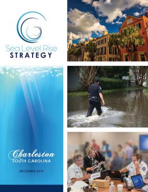
Flooding and sea level rise are challenges the City of Charleston has taken seriously for centuries. However, this City that we love is experiencing the effects more frequently than ever. In the 1970s Charleston experienced an average of 2 days of tidal flooding per year and it is projected that the City could experience 180 days of tidal flooding in 2045. Identifying initiatives that will improve our ability to withstand these effects is timely. This
Sea Level Rise Strategy Plan is that comprehensive inventory of initiatives.
King County, Washington's Strategic Climate Action Plan sets forth strategies for reducing greenhouse gas emissions and preparing for climate change impacts.

