Nature-Based Solutions for Coastal Hazards: The Basics

Module time (hr:min)
1:00
Difficulty scale
Image
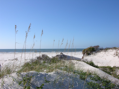
Sand dunes with a clear blue sky in the background
Type of Training
Module Description
Learn an approach for identifying your community’s coastal hazard issues, ecosystem services that can reduce hazard impacts, and green infrastructure practices that can provide those services. Develop the beginnings of a community green infrastructure plan.

GIS for Climate Resilience

Module time (hr:min)
15:00
Difficulty scale
Image
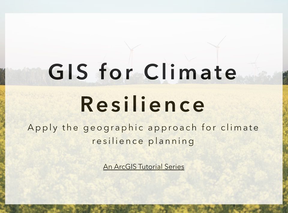
splashscreen
Type of Training
Module Description
An ArcGIS Tutorial Series to help users apply the geographic approach for climate resilience planning. Using a climate resilience planning process—the Steps to Resilience documented in the U.S. Climate Resilience Toolkit—this curriculum is designed to help you use geographic information systems to document climate hazards that could harm the people and places you care about, decide which situations you most want to avoid, and come up with workable solutions to reduce your climate-related risks.

Gulf TREE Training Kit

Difficulty scale
Image
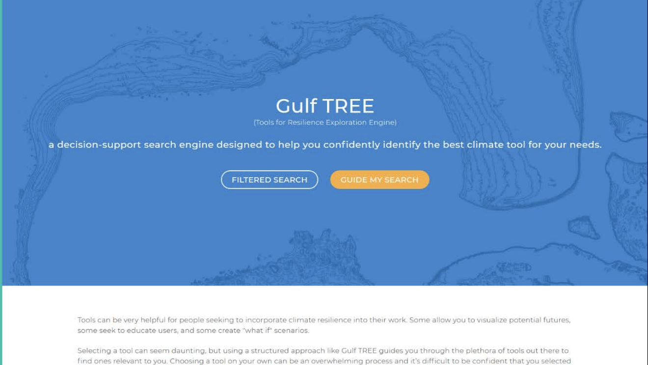
Screenshot of the GulfTREE homepage.
Type of Training
Module Description
Gulf TREE is a climate resilience tool search engine that allows users to access relevant tools quickly, easily, and confidently. The site walks users through a series of questions that help them identify the best climate tool for their needs. This Gulf TREE training kit allows you or a small group of people to complete the training and become a power user on your own or you can use this kit to train others to become power users.

Adapting Stormwater Management for Coastal Floods

Difficulty scale
Image
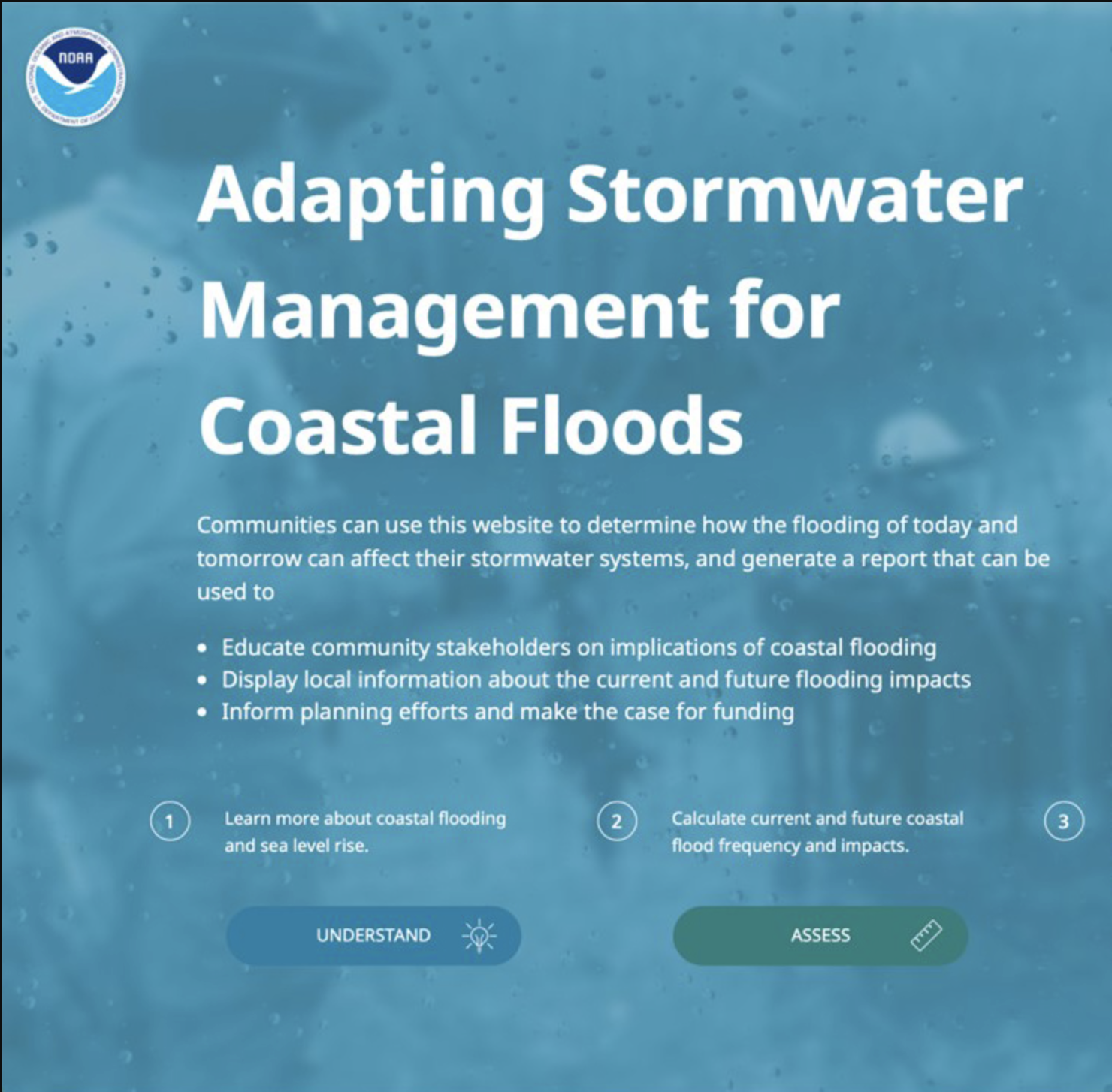
Screenshot of Adapting Stormwater Management for Coastal Floods tool homepage.
Type of Training
Module Description
Developed for stormwater and floodplain managers, as well as land use planners, this interactive website incorporates tools and methods to derive critical coastal water-level thresholds, as well as assess the potential impacts of exceeding those thresholds on stormwater infrastructure. Managers can take various actions to address the issue, and this guide introduces planning, policy, on-the-ground, and funding options.
Topics and Sectors

Funding and Financing Coastal Resilience Webinars

Difficulty scale
Image
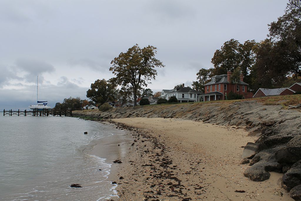
Large homes on the coastlinen of Hampton, VA.
Type of Training
Module Description
This series consists of two recorded webinars that intend to build foundational knowledge about funding and financing approaches used to support coastal resilience activities. Learn from experts, who will demystify this complex topic by sharing traditional and emerging approaches, project examples, and lessons learned. The first webinar explores options for funding and financing coastal resilience projects and provides the foundation for future trainings on this topic. The second webinar discusses the use of Environmental Impact Bonds to finance coastal resilience efforts. Experts provide an overview of these bonds, how one was developed to finance coastal resilience efforts in Hampton, Virginia, and lessons learned throughout the process.

Green Infrastructure Options to Reduce Flooding

Difficulty scale
Image
The shadow of a person walking with an umbrella can be seen in on a flooded brick walkway.
Type of Training
Module Description
The practices described in this handout can be used to reduce flooding and help communities design a green infrastructure strategy. It should be noted that while green infrastructure practices make communities more resilient, flooding might not be totally alleviated. Topics explored in this training include green infrastructure practices, considerations for planning and implementation, and guidance on estimating storage potential and costs. This document is a companion piece to the NOAA's Process Guide for Assessing Costs and Benefits of Green Infrastructure for Flood Mitigation.
Region

How to Map Open Space for Community Rating System Credit

Difficulty scale
Image
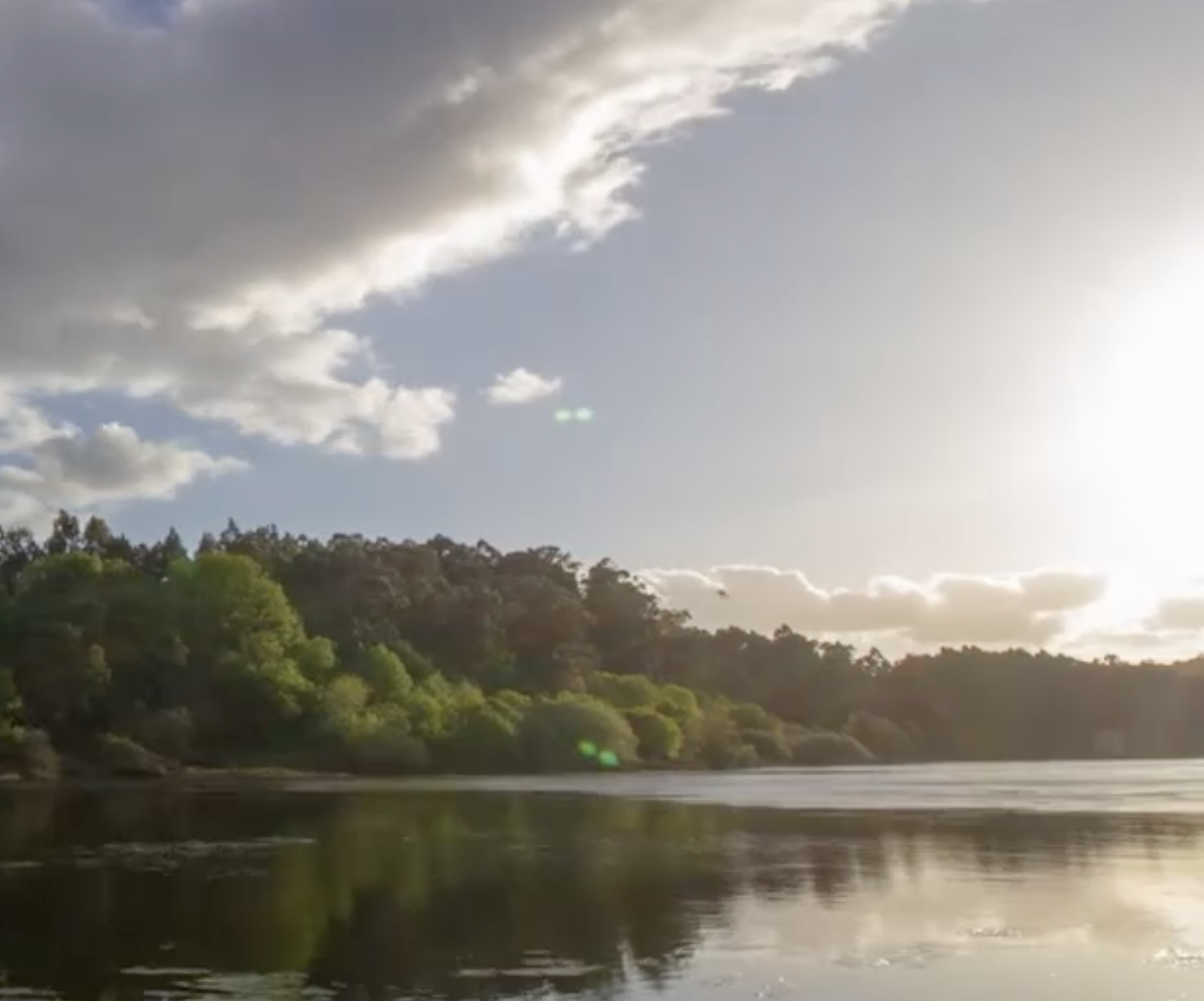
A bright sun shines onto a river and deep green forested area.
Type of Training
Module Description
When communities reduce flood risk, the Federal Emergency Management Agency (FEMA) can offer discounts on flood insurance premiums for policyholders. Participant communities in FEMA’s Community Rating System receive credits to determine the amount. One way to earn credits is by preserving floodplains. Conserving this open space and implementing land use policies that encourage development away from wetlands, dunes, and other naturally protective features allows a floodplain to serve its natural function and absorb excess water during a flood event. This “how-to” provides a step-by-step approach for earning this credit in areas that are already protected, and identifying places where additional credit could be earned through future preservation efforts. It also provides templates and worksheets to compile verification information. The steps draw from FEMA’s Community Rating System Coordinator’s Manual, and reference related elements in other Community Rating System activities, such as floodplain mapping.

How to Calculate Coastal Flood Frequency

Difficulty scale
Image
A view from the sand dunes of a group of people sitting at the beach. The bright colorful umbrellas stand out in contrast to the deep blue ocean that takes over the top half of the photo. Two lifeguards sit on a tall lifeguard chair.
Type of Training
Module Description
These guidelines provide the steps to obtain flood threshold guidelines for a study area, calculate total water level using the Inundation Analysis Tool, and calculate flooding statistics considering future sea level rise scenarios.
Topics and Sectors

A Guide to Assessing Green Infrastructure Costs and Benefits for Flood Reduction

Difficulty scale
Image
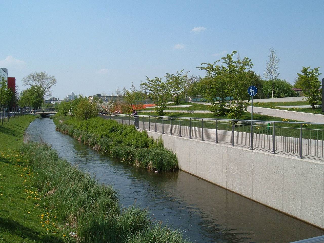
A man in a red shirt overlooks a stream of water flowing beside the pedestrian bridge where he is standing on a bright sunny day.
Type of Training
Module Description
To plan successfully, communities need to understand the options for addressing flood-related issues and their associated costs. This guide lays out a six-step watershed-based approach for documenting the costs of flooding, projecting increased flooding and associated costs under future land use and climate conditions, and calculating the long-term benefits and costs of a green infrastructure approach. The guide draws from four case studies (Duluth, Minnesota; Toledo, Ohio; Green Bay, Wisconsin; and He‘eia, Hawaii) to provide key considerations, recommended expertise, practical implementation tips, and lessons learned.

PCU 1: Know the Infrastructure for Climate Data and Services

Difficulty scale
Image
mountainous landscape merges vertically in the center of the image with a deep evergreen forest.
Module Description
The objective of this training is to enable National Weather Service field staff to identify appropriate sources of climate data, products, and information. This is the first of six Professional Competency Units (PCU) in the National Weather Service Climate Services Professional Development Series. Note that there is a second component of this PCU that includes an in-person Operational Climate Services Residence Training.

Pages

Subscribe to RSS - Climate Change