Communities, businesses, and individuals are taking action to document their vulnerabilities and build resilience to climate-related impacts. Click dots on the map to preview case studies, or browse stories below the map. Use the drop-down menus above to find stories of interest. To expand your results, click the Clear Filters link.

Sun and clouds over a Walton, NY, lake
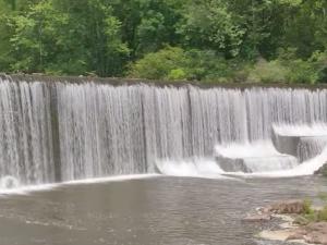
Dam and spillway on the St. Francis River
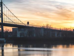
A bridge in Toledo, Ohio
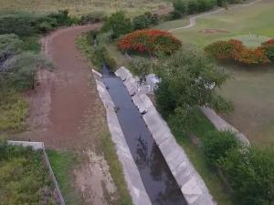
Landscape photo of an aqueduct canal near Salinas, Puerto Rico
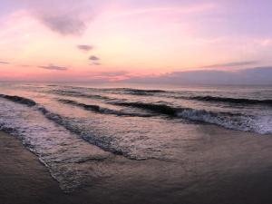
Sunrise on the beach at Corolla, on the Outer Banks of North Carolina.
City of Fayetteville’s Watershed Master Program Screenshot
Cattle on Irrigated Pasture, FT Ranch
Aerial view of Shaktoolik
Developing the Keweenaw Bay Indian Community Hazard Mitigation Plan Screenshot
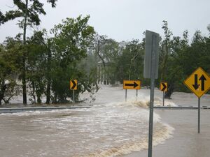
Photo of flooding caused by Hurricane Sandy in Brooklyn, New York
Recreational boats on quiet water with seaside homes in background.
Mill River Culvert, Old Croton Aqueduct, Tarrytown, New York
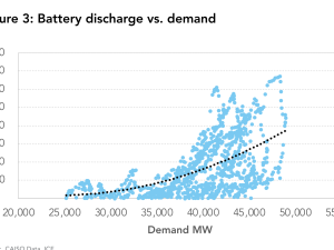
Battery Discharge vs. demand plot
The Meramec River running past Onondaga Cave State Park in Missouri.
Levee holding flood waters in Fargo, North Dakota
Subsistence hunter watching for whales
Storm Surge on Lake Pontchartrain
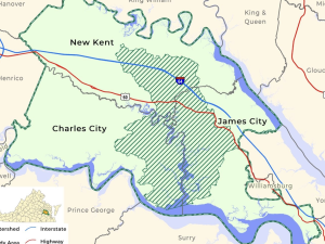
Promoting Ecotourism to Conserve a Watershed in Virginia Screenshot
Louisiana Highway 1
Quinault Village of Taholah on the Pacific Coast, October 2009
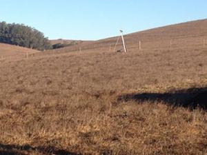
Ranchers and researchers in Marin County discuss carbon farming
Photo of young men trying to mitigate erosion near Kivalina, Alaska
The Tybee Island pier on Tybee Island
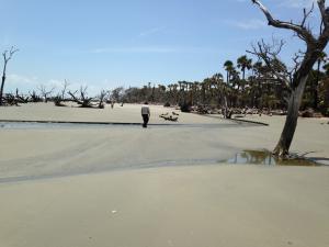
Man strolls along the shoreline of a National Wildlife Refuge scattered with trees that have been effected by saltwater intrusion.
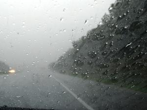
Driving through a storm in Kentucky.
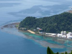
Pago Pago Harbor, American Samoa with fuel tanks in foreground.
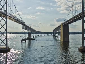
Chesapeake Bay Bridge
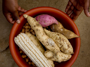
Bowl of food
Aerial view of the City of Virginia Beach oceanfront