
Case Studies

Gentry George, U.S. Fish and Wildlife Service. Public domain, via Wikimedia Commons
Tim Burkitt, FEMA Photo Library. Public domain, via Wikimedia Commons
Alaska ShoreZone
Mikefairbanks. CC-BY-SA-3.0, http://creativecommons.org/licenses/by-sa/3.0/legalcode, via Wikimedia Commons
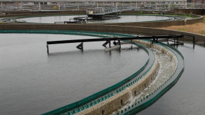
Metropolitan Water Reclamation District of Greater Chicago. CC BY-NC-ND 2.0, https://creativecommons.org/licenses/by-nc-nd/2.0/, via Flickr
Photo by F. A. Johnson, USGS Wetland and Aquatic Research Center. Used with permission. https://www.ecologyandsociety.org/vol25/iss3/art9/
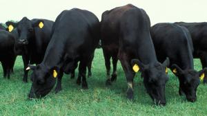
Angus cattle on pasture. USDA photo by Scott Bauer. Public domain
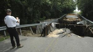
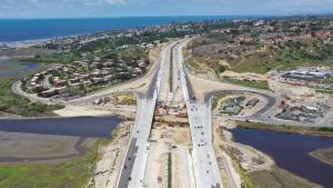
Maryland State Highway Administration. Used with permission
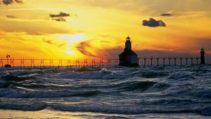
St. Joseph's Pierhead Lighthouse at sunset. Photo by Flickr user Chris "Mr. Pants" Landis, CC-BY-2.0 (https://creativecommons.org/licenses/by/2.0/), via Flickr
Gleason Beach Realignment Project. For more information, see https://gleasonbeachrealignment.org/