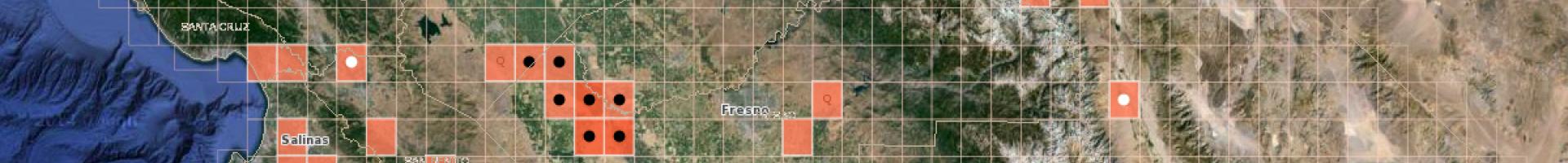
Screen capture from the CalWeedMapper

CalWeedMapper

Generate maps showing where invasive plant species occur in California and explore projections showing suitable ranges for invasive species in the future.

CalWeedMapper enables natural resource managers, scientists, and others to generate maps and reports of invasive plant distribution in California.

Information from the site can help decision makers identify management opportunities at a county, designated Weed Management Area, or regional scale. Users can view current ranges of a variety of invasive plants, as well as projected suitable range for the same plants in 2050. The site also encourages users to contribute observations of plant occurrences so it can maintain up-to-date species distribution data for the entire state.

CalWeedMapper give users the opportunity to:

  • Create reports for planning, by region or by species.
  • Select a county and a species to generate a distribution map.
  • Customize maps, view occurrence observations, explore suitable range and climate change, and update quad data.
Last modified
10 May 2024 - 12:15pm