Offshore Artificial Reef Map

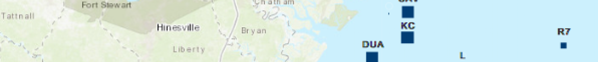
Georgia Habitat and Restoration Interactive Maps

The Georgia Department of Natural Resources created three interactive maps for users to find locations and details of reef restoration projects.

The Habitat Enhancement and Restoration Unit of Georgia's Department of Natural Resources (GADNR) fishery targeting tunas, wahoo, and dolphin. This map provides details on each reef, such as the depth, the materials used, and the regulations attached to the reef.

  • Inshore Artificial Reef (IOR) Map: Georgia’s inshore artificial reefs have been constructed in tidal creeks and rivers to address development efforts in response to coastal expansion and a rapidly growing inshore recreational fishery.

  • Oyster Reef Restoration Map: Restoration of oyster reefs are intended to help enhance water quality, buffer waves adjacent to marshes, and provide oysters for commercial fishermen to harvest. 

In addition to the interactive maps, the GADNR provide information booklets and downloadable files (GPX and KMZ). The information booklets provide historical summaries and PDF files detailing the inshore and offshore reef projects. The downloadable GPX and KMZ files contains the coordinates found in the Master List of Georgia’s Offshore Artificial Reefs. This file can be loaded onto most GPS units to provide waypoints for Georgia’s Offshore Artificial Reefs.


Last modified
10 May 2024 - 12:15pm