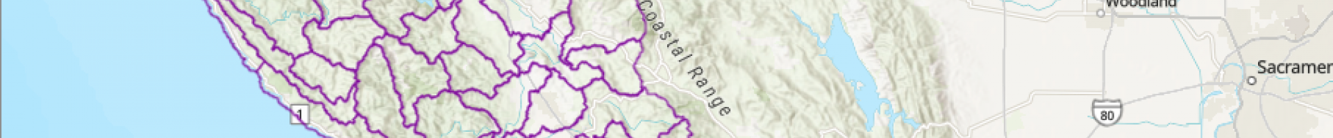
Screenshot of watershed polygons in Sonoma County, CA

Sonoma County Wildfire Fuel Mapper

This web tool aims to help help Sonoma County residents and land managers better understand the landscape, reduce fuels that sustain wildfires, and better protect the community.

The Wildfire Fuel Mapper was created to help landowners and managers in locating and understanding fire hazards on their land, providing users with a set of tools, resources, and information to help landowners and managers reduce fire hazards. The Wildfire Fuel Mapper can also be utilized by professionals to support their clients in planning vegetation management projects.

Users can create custom maps for their property (parcel) or watershed. A report will be generated that include maps and informational summaries of landscape elements such as vegetation and fuels to help assess fire hazards for the selected parcel or watershed.

This tool helps landowners and managers in Sonoma County:

  • Understand vegetation types and the need for fuel treatments
  • Download best available information for properties and watersheds
  • Connect with experts who can help plan and implement forest friendly fuel treatments
Last modified
10 May 2024 - 12:16pm