Flood hazards
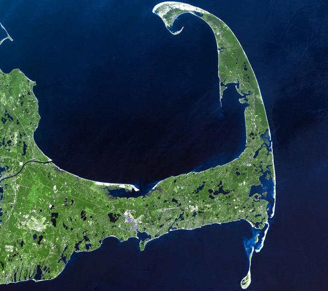
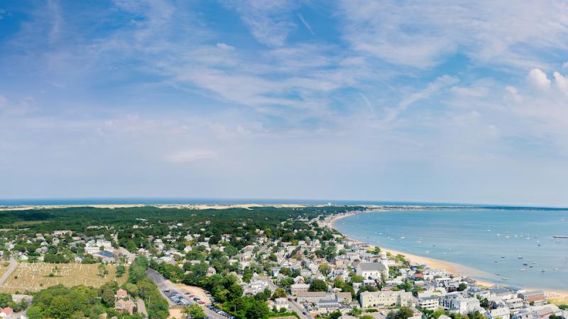
Cape Cod’s residents and communities are intimately connected with the ocean; the low-lying peninsula of Massachusetts has miles and miles of shoreline that provide easy access for boating, fishing, and beach activities. Being close to the water also has a downside: coastal communities are vulnerable to flooding from heavy rains, high waves, and storm surge that can accompany Nor'easters, tropical storms, and hurricanes. As the climate system responds to continued increases in heat-trapping gases in the atmosphere, models project that extreme weather events—and the potential for coastal flooding—may increase in intensity.
Earth’s warming climate also causes sea level to rise, a factor that increases the risk of flooding for Cape Cod communities. In Barnstable County—the county that encompasses the entire Cape—many low- and moderate-income properties face increased likelihood of inundation: they sit on low-lying land near tidally connected marshes where sea level has risen more than nine inches since 1932, according to the NOAA tide gauge at Woods Hole, Massachusetts. Additionally, many high-income waterfront properties—ones that provide the county with significant tax revenue—are also exposed to rising waters.
Rising costs for insurance
To protect their properties against losses due to flooding, residents across the United States and in Barnstable County’s 15 municipalities have long purchased flood insurance through the National Flood Insurance Program (NFIP). However, through the early 2000s, premiums charged by the federal program did not match the actual risk for many flood-prone structures that were built before the inception of the NFIP. After several high-impact storms, including Hurricanes Katrina and Sandy, damaged many coastal communities, the NFIP received so many claims for flood losses that it incurred a $24 billion debt.
“That debt is to the federal treasury and the federal taxpayers,” says Shannon Jarbeau, Community Rating System and Floodplain Coordinator for Barnstable County through the County’s Cape Cod Cooperative Extension. In order to pay back that debt, the NFIP is now having to charge its customers more—as much as 25 percent more in high-risk areas. “This increase had to happen,” Jarbeau says, “because for so many years a lot of folks were paying premiums that were well below their risk level. Now with the NFIP in such debt, that’s just not sustainable anymore.”
Obviously, increases in flood insurance premiums are making homes less affordable. Some property owners have decided to sell their homes because of the higher costs for flood insurance, and more may follow as costs increase. Rising insurance costs are particularly burdensome in communities where many middle-class families own second homes that have been passed down to them from previous generations. If these families leave, their departure also has a significant impact on the local economy of summer communities. Here is where Jarbeau comes in.
Community Rating System
The silver lining to the NFIP rate hike is that it encourages municipalities to decrease their risk of flooding at the same time as they bring insurance costs down through the Community Rating System (CRS). This Federal Emergency Management Agency (FEMA) program reduces flood insurance premiums in communities that take steps to go above and beyond minimum floodplain management standards. With the CRS, cities and towns can earn credits for each concrete step they take to lower their flood risk. For example, towns can earn credits by instituting strong building codes or initiating efforts to preserve open space in the floodplain as outlined in the CRS manual. The more credits a municipality earns, the greater the savings that property owners in those communities receive. When communities earn CRS credits, property owners can save between 5 and 45 percent on their insurance premiums.
As good as this sounds, earning credits through the CRS isn’t easy. The CRS manual is more than 600 pages long, making the challenge of learning about and earning credits somewhat daunting, especially for towns that depend on small staffs to run their municipal offices. To help their towns identify paths to earning CRS credits, Barnstable County officials, with the assistance of a grant from Woods Hole Sea Grant, decided to hire Jarbeau to serve as a regional CRS coordinator. She helps municipal officials apply to the program and determine what flood management projects they can take on. Sometimes those projects are complex—new initiatives such as enlarging culverts or elevating structures. Other times, Jarbeau discovers that the towns are already doing things that, with a little bit of tweaking, can earn them credit.
What does mosquito control have to do with flood insurance?
Barnstable County’s 26 mosquito-control workers spend the winter months cleaning debris out of the 1,500 miles of ditches, pipes, and other conduits that carry stormwater off the land across the county. Stormwater runoff systems help channel water away from buildings and roads, but only if they are maintained. The workers pull out branches, leaves, dirt, and other detritus that can clog the system and cause water to back up after a storm. This work also reduces the number of areas where mosquitoes can breed.
“Mosquitos breed in standing stagnant water,” says Gabrielle Sakolsky, assistant superintendent and entomologist for the Cape Cod Mosquito Control Project. “So what we want is to keep the water flowing.”
Keeping storm water moving through the ditches is also important to flood control. Sakolsky and Jarbeau realized that if they could electronically map the ditches as they are cleaned each year, each of the 15 municipalities could earn some CRS credits. Now, after workers remove debris from stormwater channels, they pull out iPads and photograph the section of the stormwater system they’ve worked on. They also input map coordinates, using Geographic Information System (GIS) software, to generate a map of their efforts.
It’s the kind of project Jarbeau especially likes because it doesn’t require much input from the busy staff in the 15 towns she serves. “It’s something I can work on that no one else has to touch,” she says. “It’s the kind of thing that really adds value to the regional approach. None of the towns have to spend any effort on it, and they all get some value for it.” In the end, the towns enjoy fewer mosquitos, lower flood insurance premiums, and increased climate resilience.


