

Image
Relevant Tools
Image
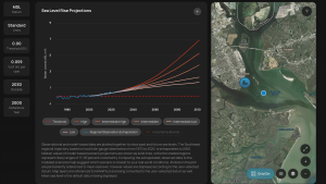
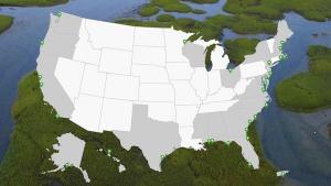
NOAA Digital Coast
Image

Image
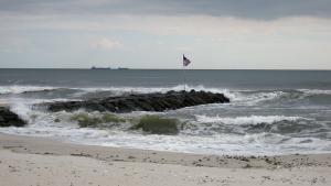
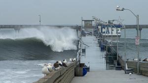
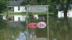
Public Domain. Credit: FEMA
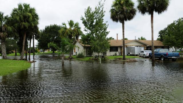
Coastal flooding occurs when water inundates or covers normally dry coastal land as a result of high or rising tides or storm surges.
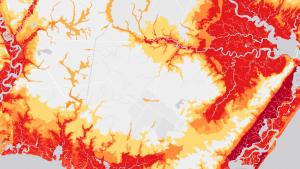
NOAA Digital Coast
![]()