Background
In 2009, BCDC released Living with a Rising Bay, its sea level rise assessment. A 20–55 inch rise in sea levels is projected by 2100, resulting in an estimated $36–62 billion in expenses, and increased flooding risk for 270,000 residents and 210,000 acres shoreline. The ART Project was created as an extension of this vulnerability assessment and facilitates connections between communities, scientists, managers, and planners at both the local and state level to address sea level rise. BCDC has partnered with NOAA to work with local communities to collectively gain a better understanding of how sea level rise and other climate change impacts will affect the region’s ecosystems, infrastructure, and economy, and to develop strategies to address these challenges.
Implementation
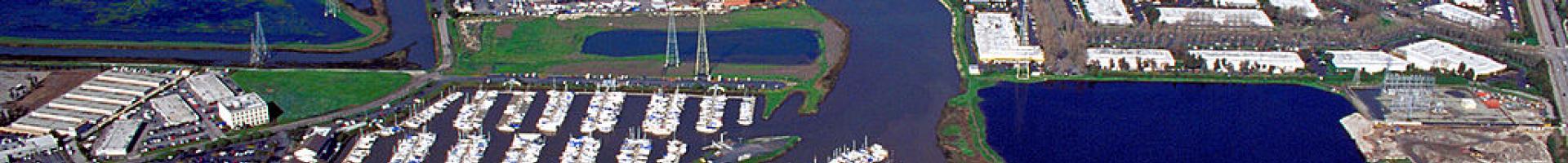
A kickoff meeting for the ART Project was held in October 2010 in Oakland to introduce the project to local community members, managers, and planners. Representatives from BCDC and ICLEI-Local Governments for Sustainability provided overview presentations of projected climate change impacts on the San Francisco Bay Area and adaptation planning processes. Participants were invited to submit proposals for a subregional pilot project. A portion of the Alameda County shoreline from Emeryville to Union City was selected as the subregion, based on local community and stakeholder interest and capacity for participation, its diverse shoreline features, and presence of regionally significant transportation infrastructure.
In January 2011, the project partners convened a Subregional Working Group comprising representatives from the staff at local, county, regional, state and federal agencies that work in the subregion, as well as some private sector representatives with investments in the project area. This group helped project staff define goals and objectives, develop communications strategies, and identify important assets along the shoreline. An assessment of the subregion’s vulnerability and risk —the second phase of the Alameda County ART Project— began in June 2011 with an impacts assessment. Project staff and the Subregional Working Group identified climate impacts associated with sea level rise and changes in storm events, and characterized the existing conditions of assets in twelve categories. In parallel, project consultants conducted a shoreline analysis of sea level rise and storm event flooding. This impacts assessment set the stage for a comprehensive evaluation of the vulnerability of the assets in the subregion based on their exposure and sensitivity to impacts, and capacity to adapt to changes. Input from Subregional Working Group members as well as other topical experts on the societal, economic, environmental and governance consequences of sea level rise and storm events, helped project staff evaluate risks within each category of shoreline asset, and identify issues that cut across multiple asset categories and management boundaries.
In July 2012, the Alameda County ART Project completed the vulnerability and risk assessment process and transitioned into adaptation planning. Project staff used the assessments as a foundation for identifying and evaluating possible adaptation strategies to improve the subregion’s resilience to climate impacts. In order to develop strategies that address cross-cutting issues and be pursued both locally and regionally, the Project Management Team and Subregional Working Group chose to focus on multiple geographic scales. The project concluded in 2013 and final products were released in January 2014 on the project’s website.
Since the completion of the Alameda County project, the program has expanded to all nine counties in the San Francisco Bay Area. For example, the ART team conducted vulnerability assessments in to better understand the potential impact of sea level rise on water services and water management. This included an inventory of existing conditions and asset profiles for collection devices, weirs, storm gates, pump stations, and other essential water infrastructure in the Contra Costa Water District, City of Martinez, East Bay Municipal Utility District, West County Wastewater District, North Richmond Water Reclamation Plant, Richmond Advanced Recycling Expansion, and the Point Isabel Wet Weather Facility.
The ART Program also developed several visualization tools for the Bay Area, including the ART Bay Area Shoreline Flood Explorer and East Contra Costa County Shoreline Flood Explorer. In March 2020, ART released Adapting to Rising Tides Bay Area: Regional Sea Level Rise Vulnerability and Adaptation Study. This study compared the impacts of sea level rise across the region with the goal of increasing the resilience of the Bay Area. Developed as a decision-support tool, it provides refined guidance for local and regional planners regarding adaptation responses to sea level rise and flooding. Additional ART projects include:
- Bay Area Transportation Climate Resilience (initiated 2011, completed 2014)
- Stronger Housing, Safer Communities (initiated 2013, completed 2015)
- Hayward Shoreline Resilience Study (initiated 2013, completed 2015)
- Oakland/Alameda Resilience Study (initiated 2013/2014, completed 2016)
- Contra Costa County ART Project (initiated 2014, completed 2016)
- Local Hazard Mitigation and Climate Adaptation Plans (initiated 2015, ongoing)
- East Contra Costa County Vulnerability Assessment and Adaptation Planning (initiated 2017, completed 2020)
- Accelerating Implementation of Local and Regional Resilience to Climate Change (initiated 2018, ongoing)
Citation
Gregg, R.M. & Polgar, S. (2021). Adapting to Rising Tides in San Francisco Bay, California [Case study on a project of the San Francisco Bay Conservation and Development Commission]. Version 2.0.
This case study is a product of EcoAdapt’s Research & Innovation program, and is part of The State of Climate Adaptation in the Marine and Coastal United States, Territories, and Commonwealths report. Retrieved from CAKE.
Read a similar case study from the Climate Resilience Toolkit: Engaging Stakeholders in Planning for Sea Level Rise