A screenshot of the ecosystem service mapper

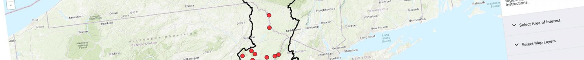
Floodplain Ecosystem Service mapper

This web mapping application displays helps users assess, quantify, and value the ecosystem services provided by floodplains in the Delaware River and Chesapeake Bay watersheds.

Healthy floodplains and wetlands provide critical ecosystem services to local and downstream communities by retaining sediments, nutrients, and floodwaters. Land conversion and degradation diminish floodplain functionality and services. By assessing, quantifying, and valuing the ecosystem services provided by floodplains, we can estimate how floodplains influence human well-being. We can also inform decision makers about the tradeoffs associated with development pressures and conservation priorities.

The USGS South Atlantic Water Science Center's "Quantifying Floodplain Ecological Processes and Ecosystem Services in the Delaware River Watershed" project integrates LIDAR-based mapping, field measurements, and modeling to quantify the ecosystem service of sediment and nutrient retention that floodplains provide in the Delaware River and Chesapeake Bay watersheds.

This preliminary web mapping application developed for the project displays field site data, LIDAR mapping, and geomorphic modeling used to demonstrate sediment and nutrient soil retention in the watersheds, including the following datasets:

  • Field site data for 68 sites in the Chesapeake and Delaware Floodplain Network, including site photos;
  • Stream reach estimates of channel geometry derived using the Floodplain and Channel Evaluation Tool (FACET) and LIDAR-derived digital elevation models; and
  • The active (field verified two-year) floodplain extent derived from FACET.

Users can toggle between various basemaps, map layers, and geographic features within a floodplain through specific field sites, and can download both the underlying data and the FACET software.

Last modified
10 May 2024 - 12:15pm