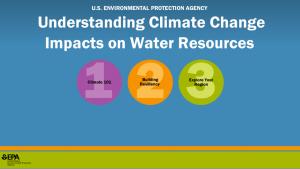
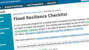
Home
Main navigation
  • Mega Menu Icon
    Image
    case study icon
    Browse Case Studies
    • Filtered by hazard
      • Drought
      • Extreme Heat
      • Coastal Flooding
      • Flooding
      • Wildfire
    • Filtered by asset
      • Agriculture
      • Community Services
      • Critical Facilities
      • Economy
      • Energy
      • People
      • Property
      • Natural Areas
      • Transportation
      • Water Infrastructure
  • Mega Menu Icon
    Image
    data and tools icon
    Browse Tools
    • Filtered by hazard
      • Drought
      • Extreme Heat
      • Coastal Flooding
      • Flooding
      • Wildfire
    • Filtered by asset
      • Agriculture
      • Community Services
      • Critical Facilities
      • Economy
      • Energy
      • People
      • Property
      • Natural Areas
      • Transportation
      • Water Infrastructure
  • Mega Menu Icon
    Image
    funding icon
    Browse Funding & Capacity
    • Funding & Building Capacity
    • Search for Funding Opportunities
    • Grant Development Resources
    • Overview
    • Get Started
    • Understand Exposure
    • Assess Vulnerability & Risk
    • Investigate Options
    • Prioritize & Plan
    • Take Action
  • Mega Menu Icon
    Image
    popular resources icon
    Browse Popular Resources
    • Announcements
    • Steps to Resilience
    • Help Desk
    • Glossary
    • Contact
    • Case Studies
    • Tools
    • Trainings
    • Options Database
    • Organizations
    • New to the Toolkit?
    • Topics & Sectors
    • Regions
    • Hazards
    • Assets

Breadcrumb

  1. Home
  2. Asset
Image
Flooded culvert
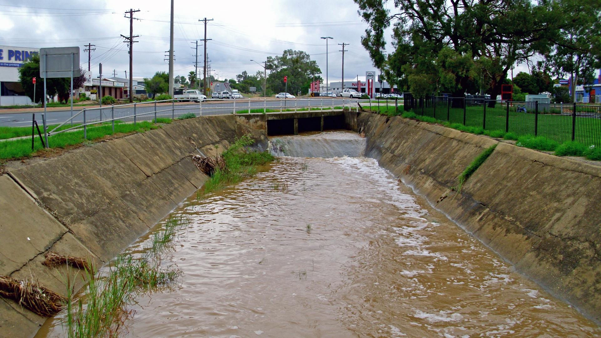
  • Stormwater culvert along Dobney by Bidgee. Used via Creative Commons Attribution ShareAlike 3.0, via Wikimedia.

  • Asset

    Water Infrastructure – Stormwater

    Flood control structures, ditches, street gutters, sewer systems
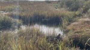
    Read Full Summary

    Related Case Studies & Action Plans

    Image
    salt marsh
  • Nancy Pau/USFWS

  • Salt Marsh Habitat Restoration on Parker River National Wildlife Refuge
    Image
    bumblebee and skipper nectar on a purple flower
  • USFWS

  • Improving Pollinator Habitat on McConnell Air Force Base
    Image
    charlotte flood risk assessment plan cover
    Charlotte, NC Flood Risk Assessment and Reduction Community Guidebook
    Image
    California Adaptation Planning Guide cover
  • The California Governor's Office of Emergency Services

  • Statewide Summary Report: California's Fourth Climate Change Assessment
    Browse Case Studies
    Image
    data and tools icon

    Relevant Tools

    Image
    Flood Resilience Checklist
    Image
    Climate Ready Infrastructure and Sensitive Sites Protocol (CRISSP)
    Image
    Creating Resilient Water Utilities - Storm Surge Inundation Map
    Image
    FEMA Flood Map Service Center
    Browse All
    Image
    Training and webinars icon

    Relevant Trainings

    Image
    closeup-photography-of-water-drops-on-body-of-water
  • Unsplash

  • Adapting Stormwater Management for Coastal Floods
    Image
    Adaptation Planning for Coastal Communities
    Image
    Online Training for Water Utilities—WUCA
    Image
    Understanding Climate Change Impacts on Water Resources
    Browse All
    Browse all assets

    Climate.gov
    • News & Features
    • Teaching Climate
    • Maps & Data
    • FAQs
    Main Menu
    • About
    • FAQ
    • Contact
    • Acknowledgments
    • Sitemap
    Latest
    • Funding Opportunities
    • Glossary
    • Announcements
    Partners
    • climate.data.gov
    • climate.gov
    • USA.gov
    • NEMAC
    Toolkit
    • Case Studies
    • Tools
    • Funding
    • Steps to Resilience
    • Popular Resources

    Image removed.

    Required Footer Links
    • NOAA Privacy
    • Accessibility
    • FOIA
    • Information Quality
    • No-FEAR Act
    • Ready.gov
    • USA.gov