Image
Tool
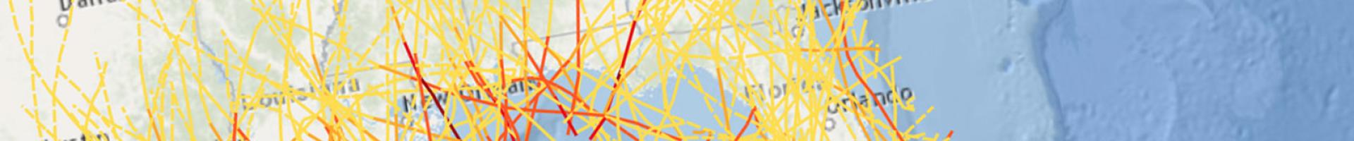
Creating Resilient Water Utilities - Storm Surge Inundation Map
This map displays the potential for flooding in coastal areas based on hurricane surge models and FEMA flood zones. This map also displays real-time storms and flood advisories to help utilities identify the potential for hurricane landfall and coastal flooding. The data displayed in this map can help utilities assess flood risk and mitigate flood damage in the event of a storm.