Image
Tool
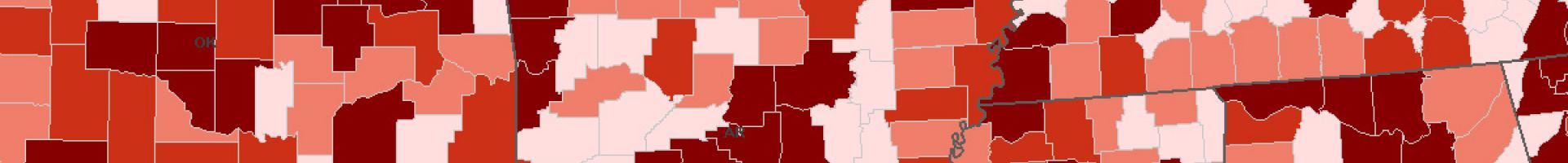
Food Environment Atlas
View maps or download data for a variety of food environment factors, including store/restaurant proximity, food prices, food and nutrition assistance programs, and community socioeconomic and demographic characteristics.
Details
Sources
USDA Economic Research Service
Esri
U.S. Centers for Disease Control and Prevention
DHHS National Institutes of Health—National Cancer Institute
USDA Agricultural Marketing Service
USDA Food and Nutrition Service
National Farm-to-School Network
University of Illinois at Chicago | Institute for Health Research and Policy | Bridging the Gap Program