Image
Tool
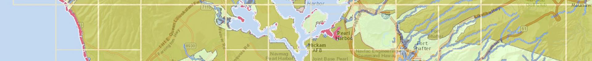
Hawai'i Flood Hazard Assessment Tool
This informational mapping viewer displays flood zones in the Hawaiian Islands using data from the Federal Emergency Management Association's Digital Flood Insurance Rate Maps (DFIRMs).
The viewer allows users to:
- Search for parcels by address or tax map key
- Use markup tools
- Generate PDF reports
- Access additional resources, including parcel details, images, and FEMA Letter of Map Changes
- Initiate the Elevation Certificate process
- View Preliminary DFIRMs