Image
Tool
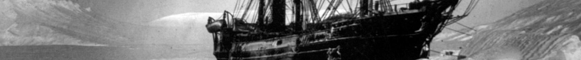
Historical Sea Ice Atlas
View maps of historical sea ice concentration in the oceans surrounding Alaska from the mid-1800s through today. The atlas gives users the opportunity to view sea ice data from multiple sources in a single interactive map.
Use this atlas to visualize how sea ice concentration around Alaska has changed over time in animations or images. Users can also explore the range of data sources used to populate the site.
Details
Sources