
Image
Relevant Tools
Image
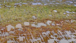
Alaska ShoreZone
Image
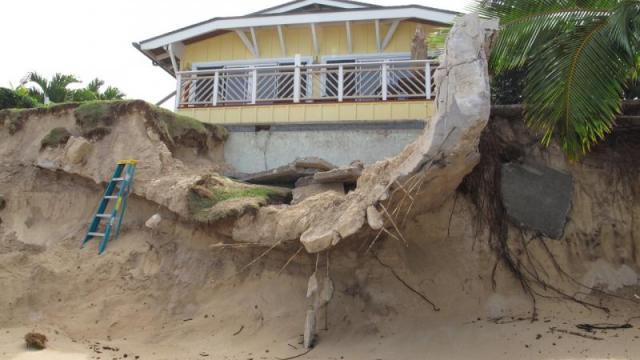
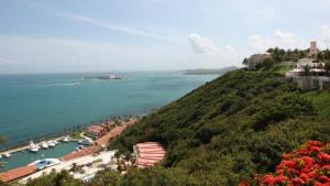
Photo courtesy of Hawai‘i Sea Grant.
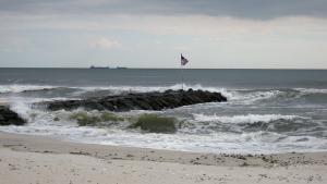
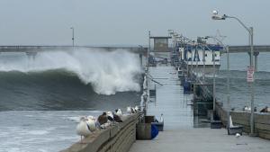
Coastal erosion is the process by which local sea level rise, strong wave action, and coastal flooding wear down or carry away rocks, soils, and/or sands along the coast.
Alaska ShoreZone
![]()