LANDFIRE
Access map layers, databases, and ecological models related to fire for the United States and some island territories. The site also features an array of useful Help features to assist new users in accomplishing common tasks.
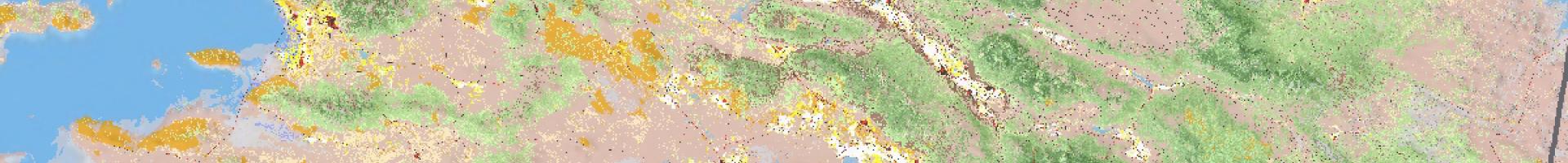
This site represents a shared program between the wildland fire management programs of the U.S. Department of Agriculture Forest Service and U.S. Department of the Interior, providing landscape scale geo-spatial products to support cross-boundary planning, management, and operations. The system is designed to generate comprehensive, landscape-scale maps of vegetation, fire, and fuel characteristics for the United States and some island areas using a consistent process. These data provide information for strategic planning for regional- and national-scale planning for wildfire and for natural resource management activities.
Access the LANDFIRE viewer and data distribution system at https://www.landfire.gov/viewe