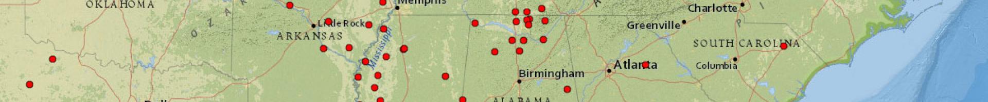
Soil Climate Analysis Network
Soil Climate Analysis Network (SCAN) sites are comprehensive automated weather stations that provide agricultural producers and resource managers with hourly data to monitor soil moisture and weather conditions. Each SCAN installation measures precipitation, air temperature, relative humidity, wind speed and direction, solar radiation, barometric pressure, snow water content, snow depth, and soil moisture and temperature at depths of 2, 4, 8, 20, and 40 inches below the ground surface.
The SCAN Map Viewer provides one-click access to current and historic data for each site, providing station information, tables showing 30 days of daily data or 7 days of hourly data, water year charts of air and soil temperature, water year charts of soil moisture, and other custom reports.