South Atlantic LCC Conservation Planning Atlas
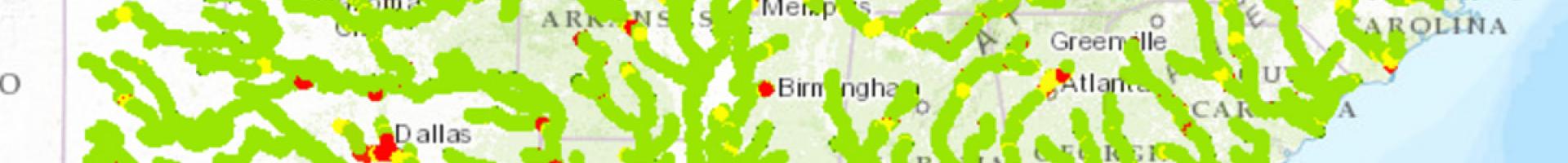
The South Atlantic Conservation Planning Atlas (CPA) is a free mapping portal designed to share regional spatial data. You can use it to overlay multiple layers, create and export maps, and download data. In addition to the Conservation Blueprint (see also the separate Tool page for the South Atlantic Conservation Blueprint), you'll find information about connectivity, protected lands, urban growth, sea level rise, and much more.
The South Atlantic CPA is part of a network of CPAs that other Landscape Conservation Cooperatives (LCCs) are using as part of a commitment across LCCs to use spatial data to inform landscape-scale conservation planning. The CPA was created in an effort to fulfill the mission of the South Atlantic Landscape Conservation Cooperative: to facilitate conservation actions that sustain natural and cultural resources, guided by a shared, adaptive Blueprint.