Image
Tool
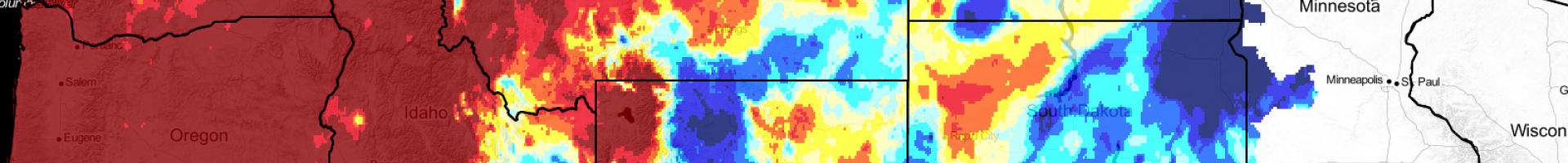
Upper Missouri River Basin Drought Indicators Dashboard
This website provides access to drought indices that are used by the Montana Governor’s Drought and Water Supply Advisory Committee (Monitoring Sub-Committee). All datasets are calculated daily and can be aggregated by watershed and county boundaries. Much of the underlying data in this dashboard is from the gridMET dataset.
The site focuses on providing current drought information using the most current peer-reviewed science, a description of the theoretical basis for a metric, data required for calculation of each index, discussion of the relative strengths and weaknesses of a metric, and validating a metric using on-the-ground observations (soil moisture, streamflow, and groundwater).
Details
Hazards
Sources
Montana Climate Office
Montana Department of Natural Resources and Conservation
NOAA—National Oceanic and Atmospheric Administration
Montana State Library
U.S. Forest Service (USFS)
USGS—United States Geological Survey
NOAA—National Integrated Drought Information System
USDA Natural Resources Conservation Service